

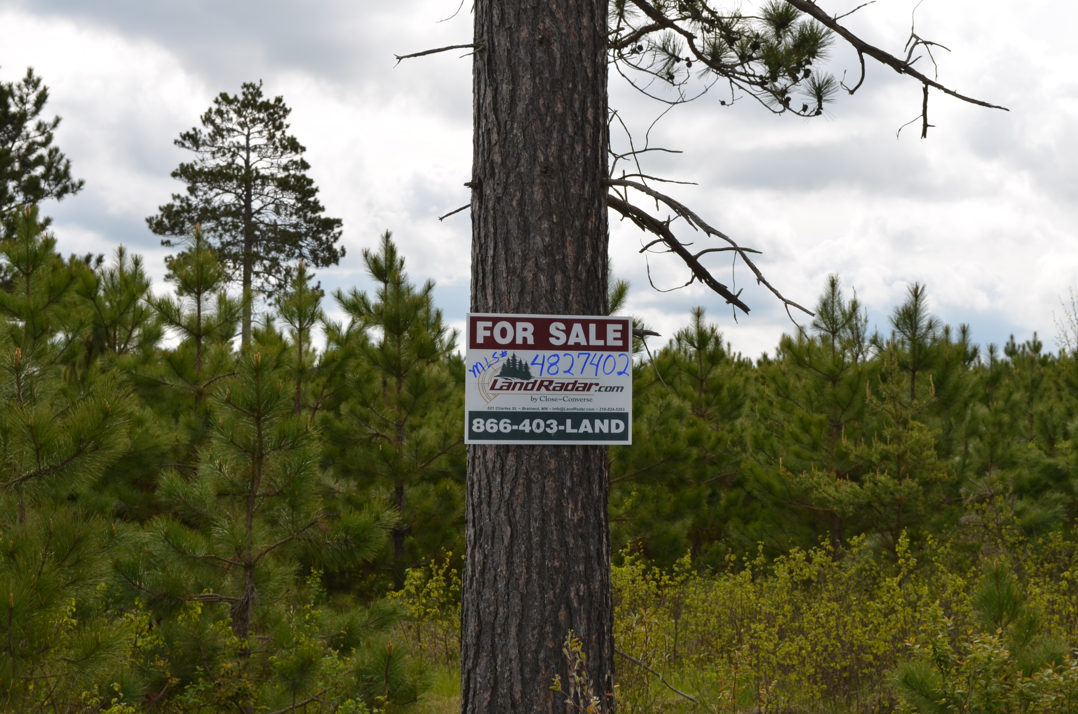
MLS Number : 4827402
Sold $105,500 - Hunting & Recreation
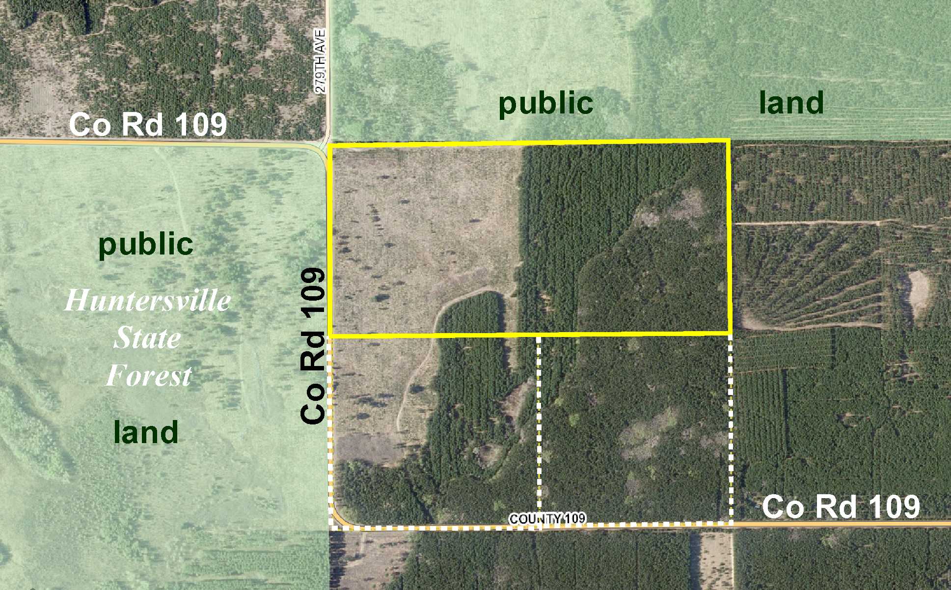
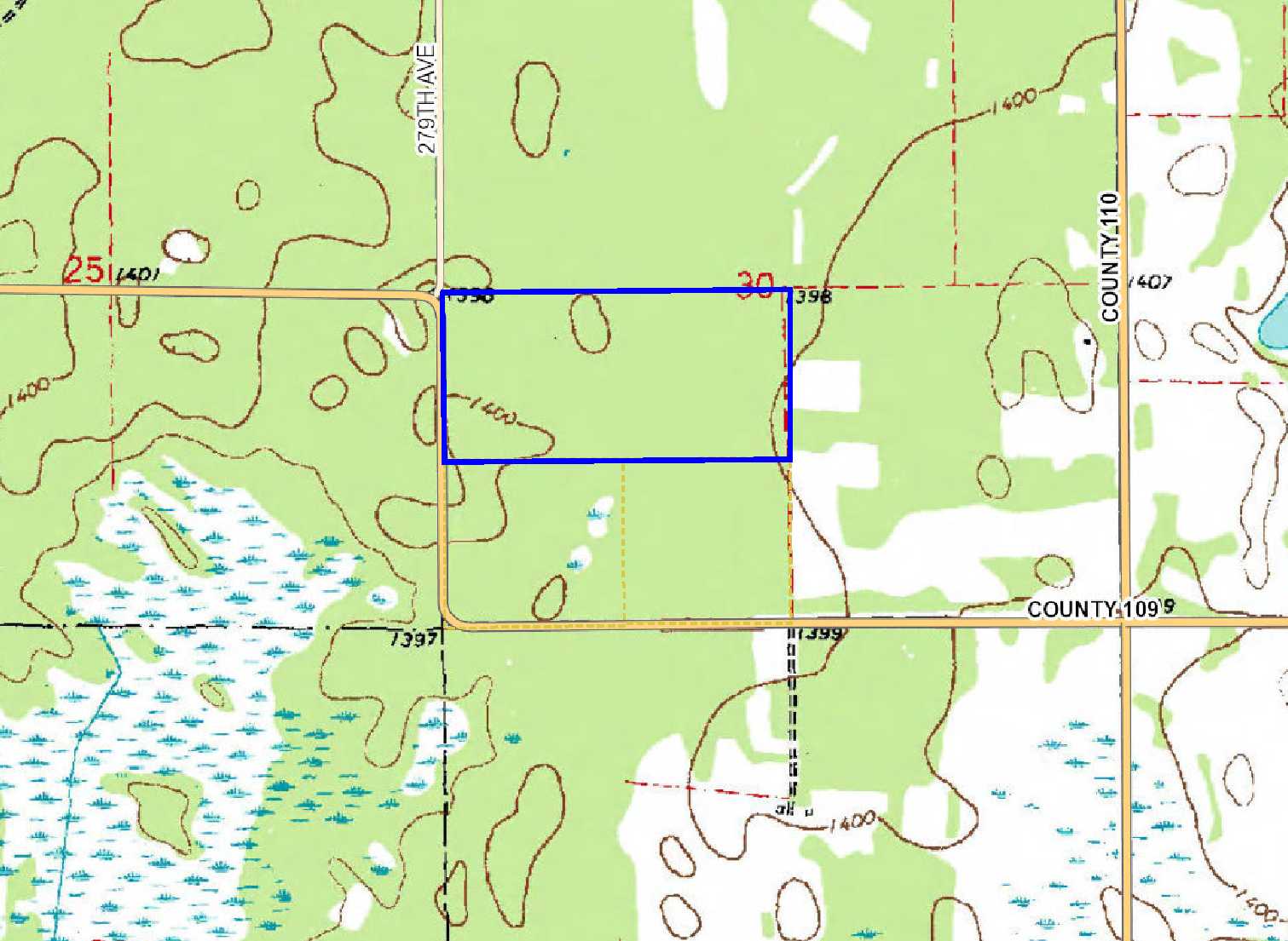
Potlatch land adjoining Huntersville State Forest south of Akeley. Over 80 acres of level upland with gravel county road access along the west side. Public land adjoining the north and hundreds of acres of public state forestland across the road offer plenty of additional hunting space. Public access to the Crow Wing River only 5 miles away for fishing and other water recreation. Rural location lets you enjoy being out in the country while still being conveniently less than 3 miles from State Hwy 64. Make this tract yours and let the outdoor fun begin!
Main Property Info
Property ID
033000500 & 033000600
033000500 & 033000600
MLS Number
4827402
4827402
Status
Sold
Sold
List Price
$119,900
$119,900
Selling Price
$105,500
$105,500
Acres
83.03
83.03
Zoning
not zoned
not zoned
City
Menahga
Menahga
Township
Badoura Twp
Badoura Twp
State
MN
MN
Zip Code
56464
56464
County
Hubbard
Hubbard
Legal Description
GL3(NWSW) & NESW, 30-139-32. Subject to Co Rd 109, 279th Ave, and any easements, restrictions, or reservations of record.
GL3(NWSW) & NESW, 30-139-32. Subject to Co Rd 109, 279th Ave, and any easements, restrictions, or reservations of record.
Property Location
Directions
From the intersection of State Hwy 64 and Co Rd 109 approx 13 miles south of Akeley, west and north on Co Rd 109 for 3 3/10 miles southwest corner of the property (approx 2/10 mile past where Co Rd 109 curves north).
From the intersection of State Hwy 64 and Co Rd 109 approx 13 miles south of Akeley, west and north on Co Rd 109 for 3 3/10 miles southwest corner of the property (approx 2/10 mile past where Co Rd 109 curves north).
Access
Gravel Co Rd 109 provides good access along the west side of the property.
Gravel Co Rd 109 provides good access along the west side of the property.
GPS Coordinates
Coordinates to flagged approximate corners: SW corner along Co Rd 109 = 46.8221, -94.7873; NW corner near intersection of Co Rd 109 and 279th Ave = 46.8257, -94.7874; NE corner = 46.8258, -94.7764; SE corner = 46.8222, -94.7763.
Coordinates to flagged approximate corners: SW corner along Co Rd 109 = 46.8221, -94.7873; NW corner near intersection of Co Rd 109 and 279th Ave = 46.8257, -94.7874; NE corner = 46.8258, -94.7764; SE corner = 46.8222, -94.7763.
Address
Co Rd 109
Co Rd 109
School District
Walker-Hackensack-Akeley - 113
Walker-Hackensack-Akeley - 113
Property Details
Dimensions (approx)
1320 x 2740 x 1320 x 2740
1320 x 2740 x 1320 x 2740
Utilities
Power Company
Itasca-Mantrap Co-op (1-888-713-3377)
Itasca-Mantrap Co-op (1-888-713-3377)
Taxes & Fees
Tax Amount
$768
$768
Assessment Amount
0
0
Tax With Assessments
$768
$768
Tax Year
2017
2017
Other Details
Section Number
30
30
Township Number
139
139
Range Number
32
32
Estimated Upland %
99
99
Estimated Wetland %
1
1
Additional Comments
Timber Comments
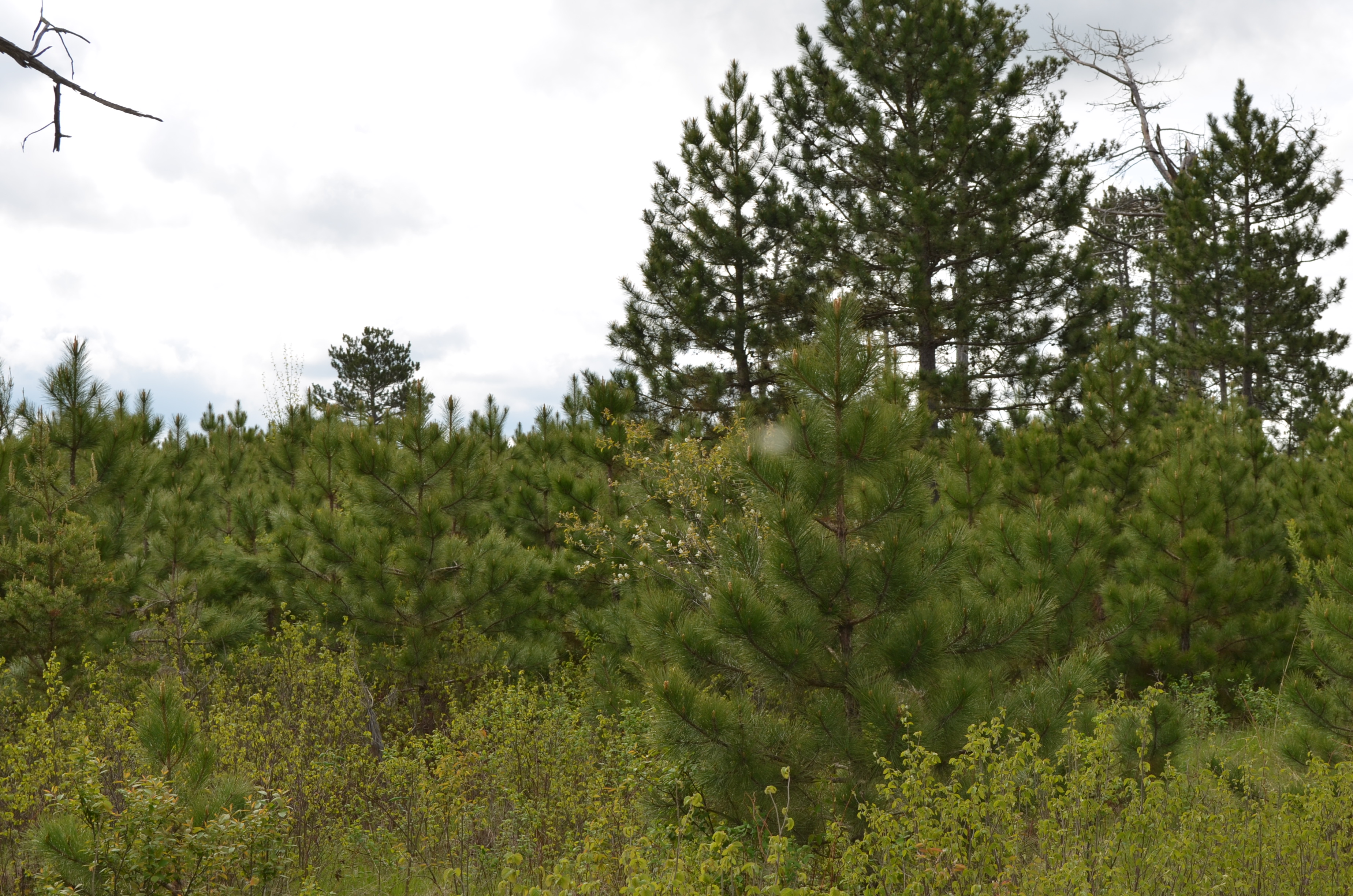
This property has been managed according to Forest Stewardship Council (FSC) standards and is combination of jack pine, mid-aged red pine, and young red pine. If timber value is important to you, seek the advice of a competent forester to determine species, volumes and values.
This property has been managed according to Forest Stewardship Council (FSC) standards and is combination of jack pine, mid-aged red pine, and young red pine. If timber value is important to you, seek the advice of a competent forester to determine species, volumes and values.
Hunting Comments
This property adjoins public land in MN Firearms Deer Zone 246.
This property adjoins public land in MN Firearms Deer Zone 246.
Disclosures
Not surveyed; acreage and dimensions approximate based on county data and mapping; county disclaimers included by reference. Photos/maps for convenience only and not guaranteed; physically inspect prior to purchase. Any deer stands on the land are not property of seller and are not included in sale. Use seller-approved PA and addendum; closing dates the 3rd Wednesday each month.
Not surveyed; acreage and dimensions approximate based on county data and mapping; county disclaimers included by reference. Photos/maps for convenience only and not guaranteed; physically inspect prior to purchase. Any deer stands on the land are not property of seller and are not included in sale. Use seller-approved PA and addendum; closing dates the 3rd Wednesday each month.


