


MLS Number : 6407609
Pending Sale $149,000 - Home & Cabin Sites, Hunting & Recreation
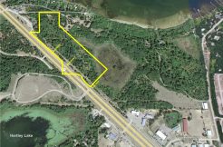
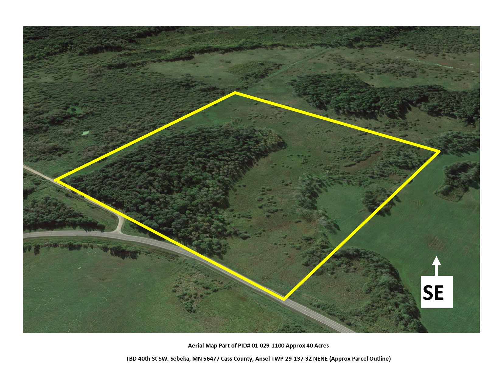
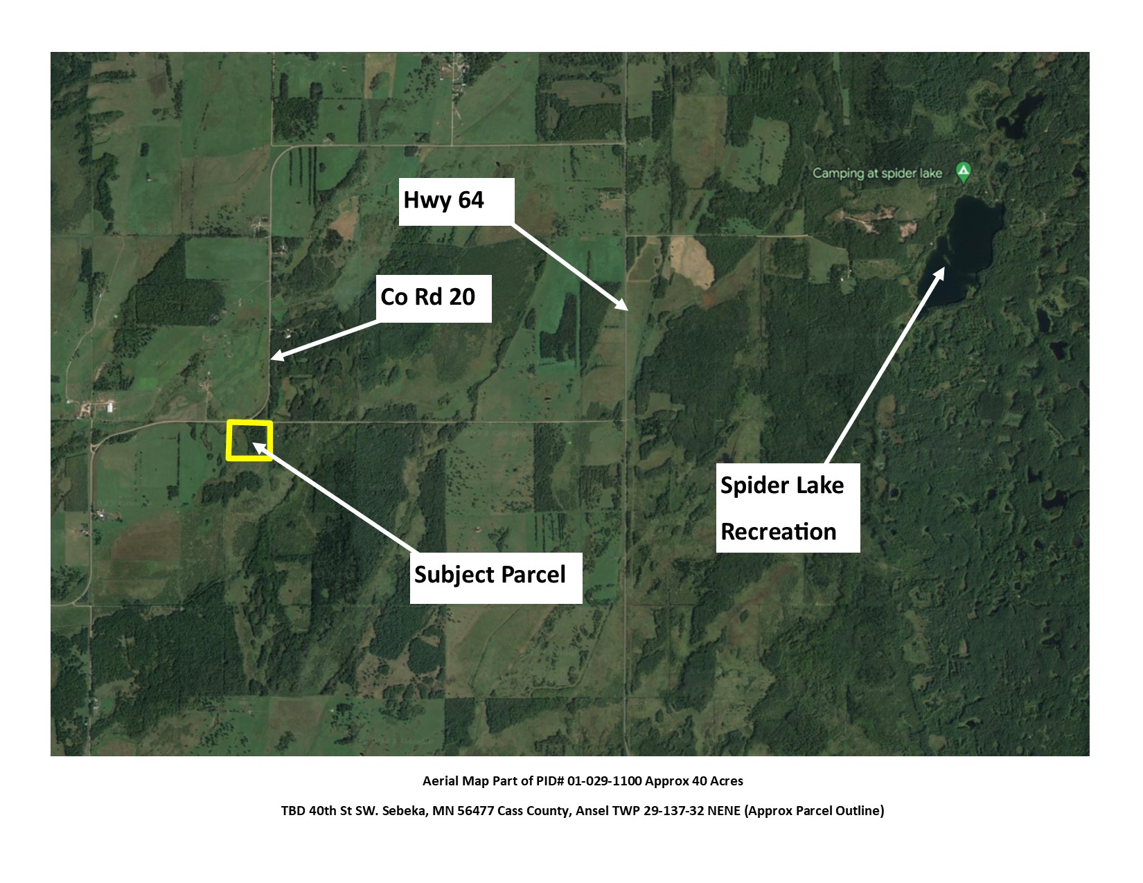
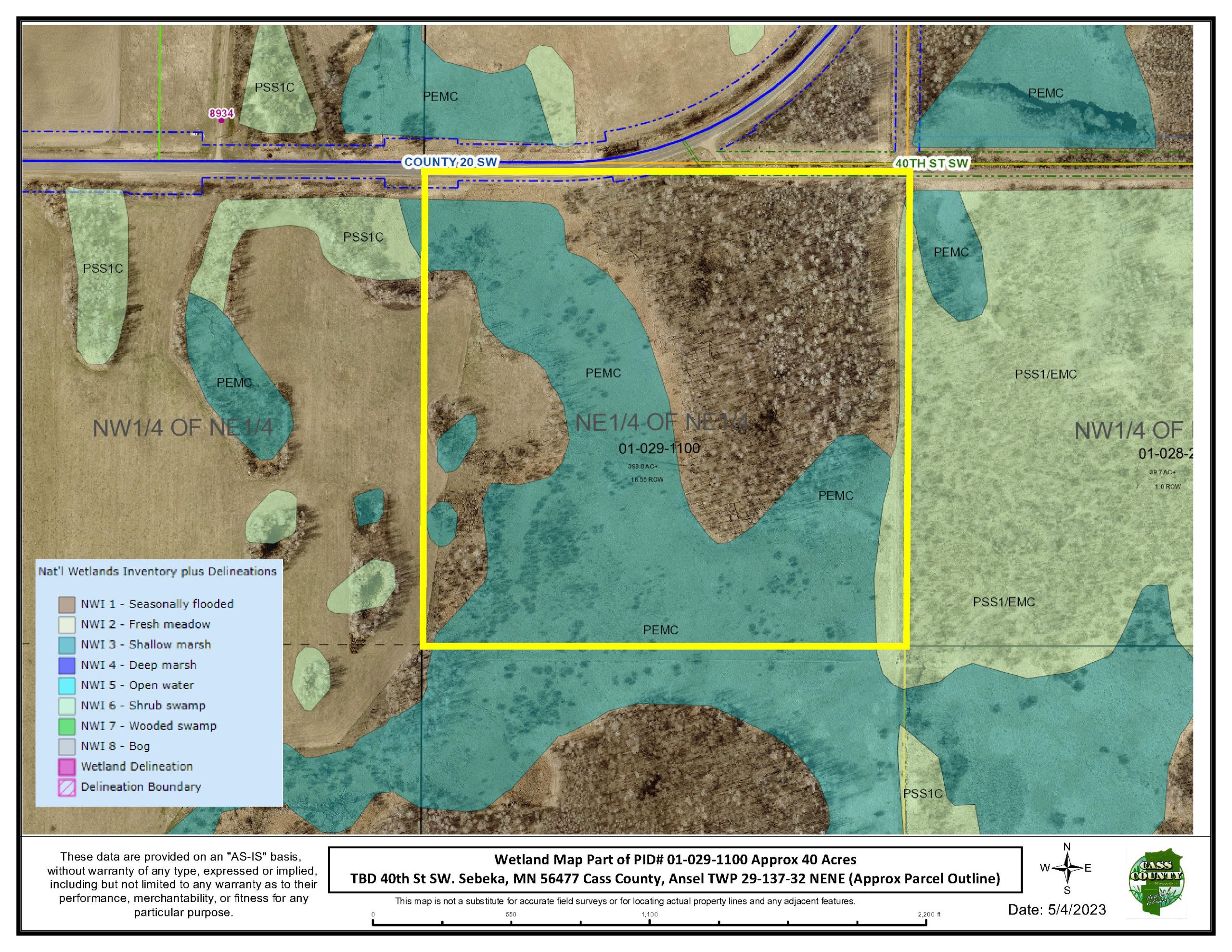
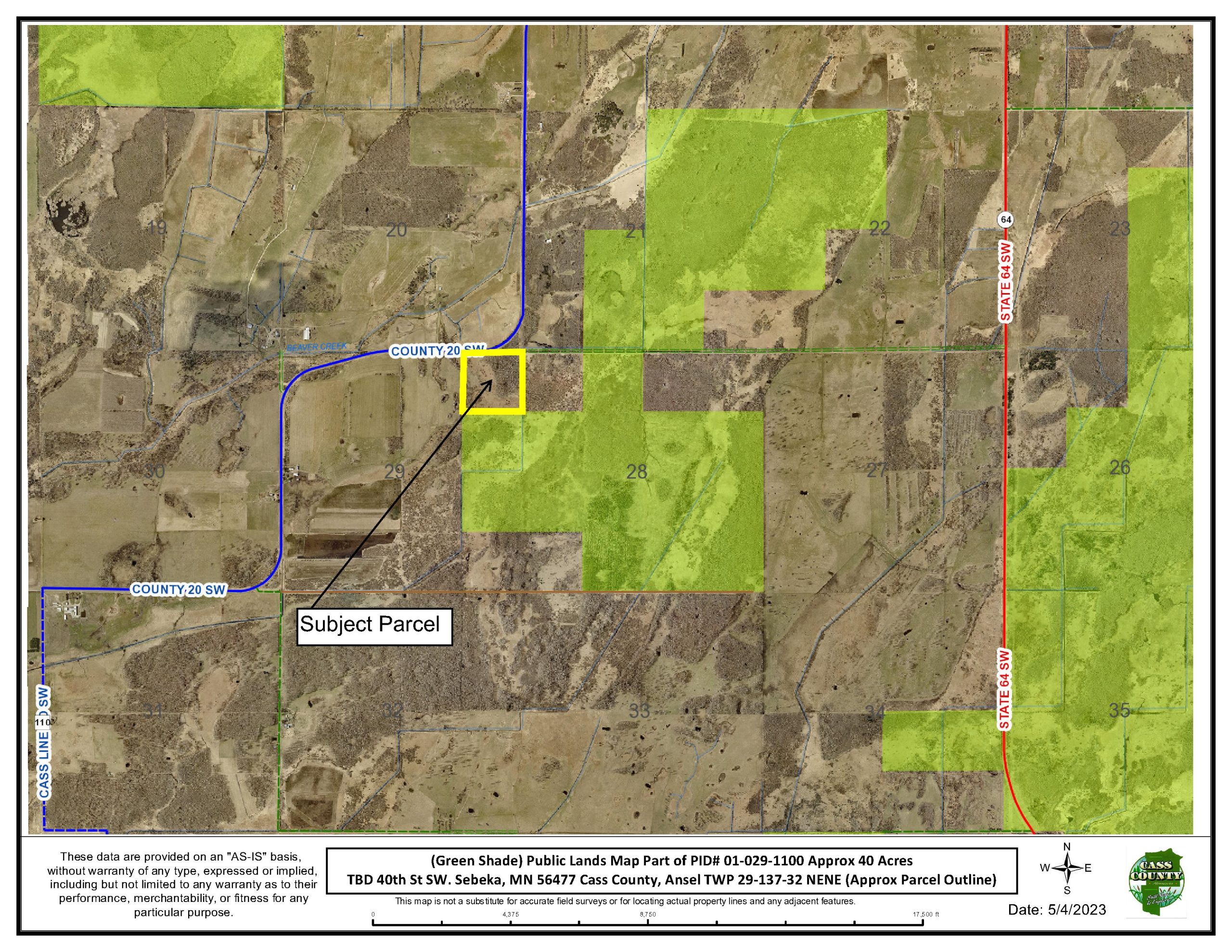
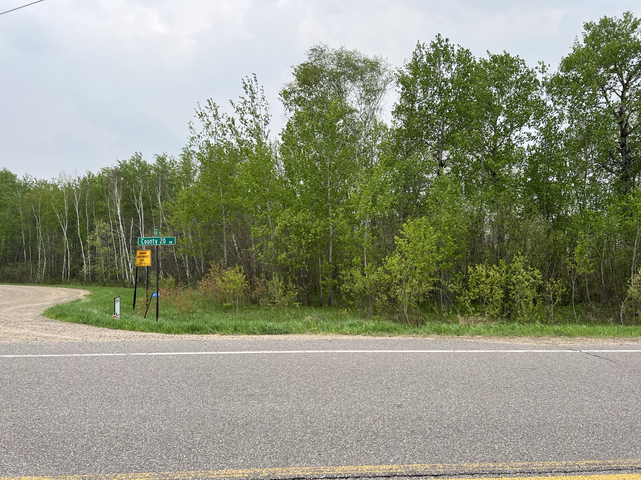
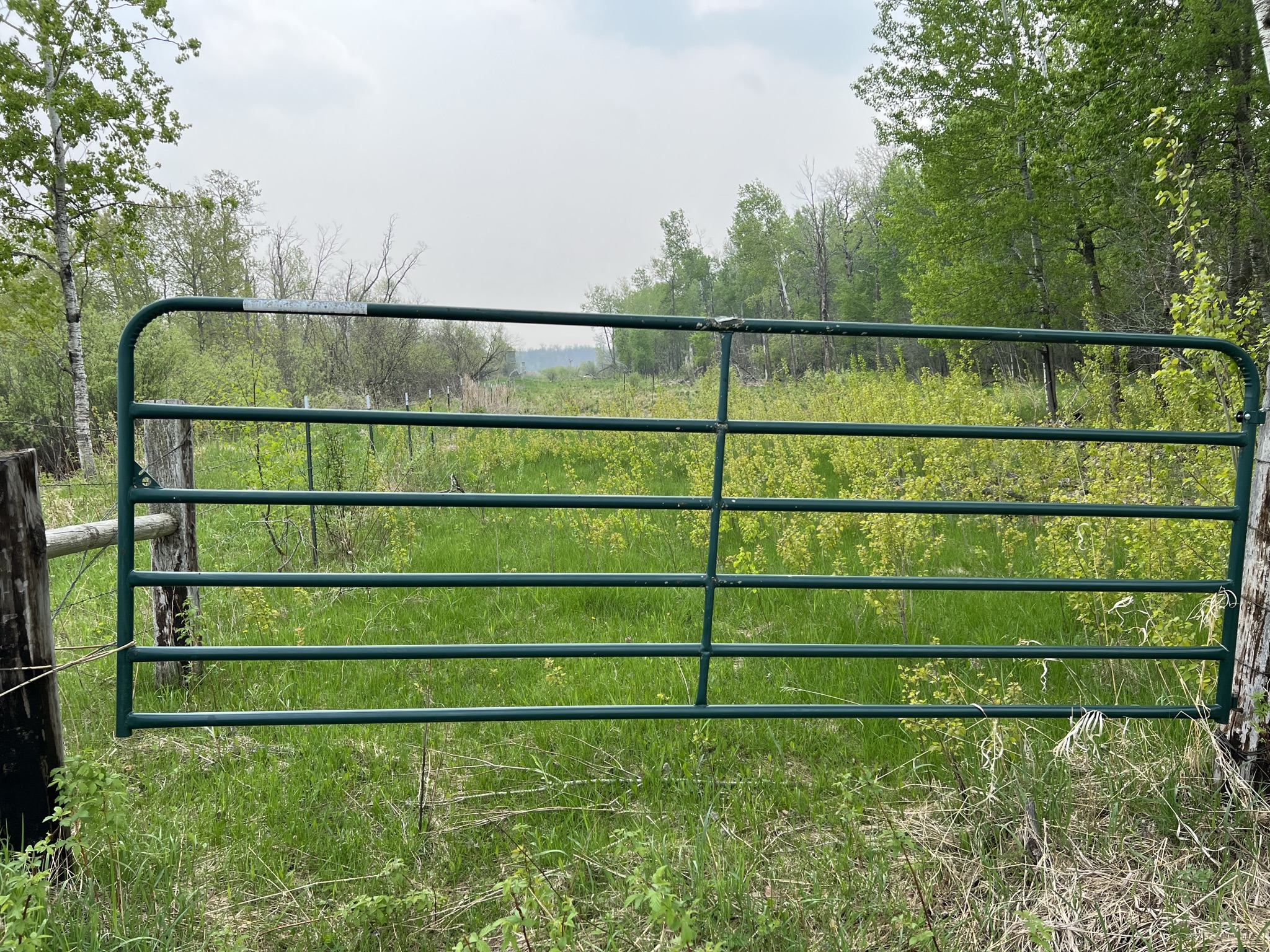
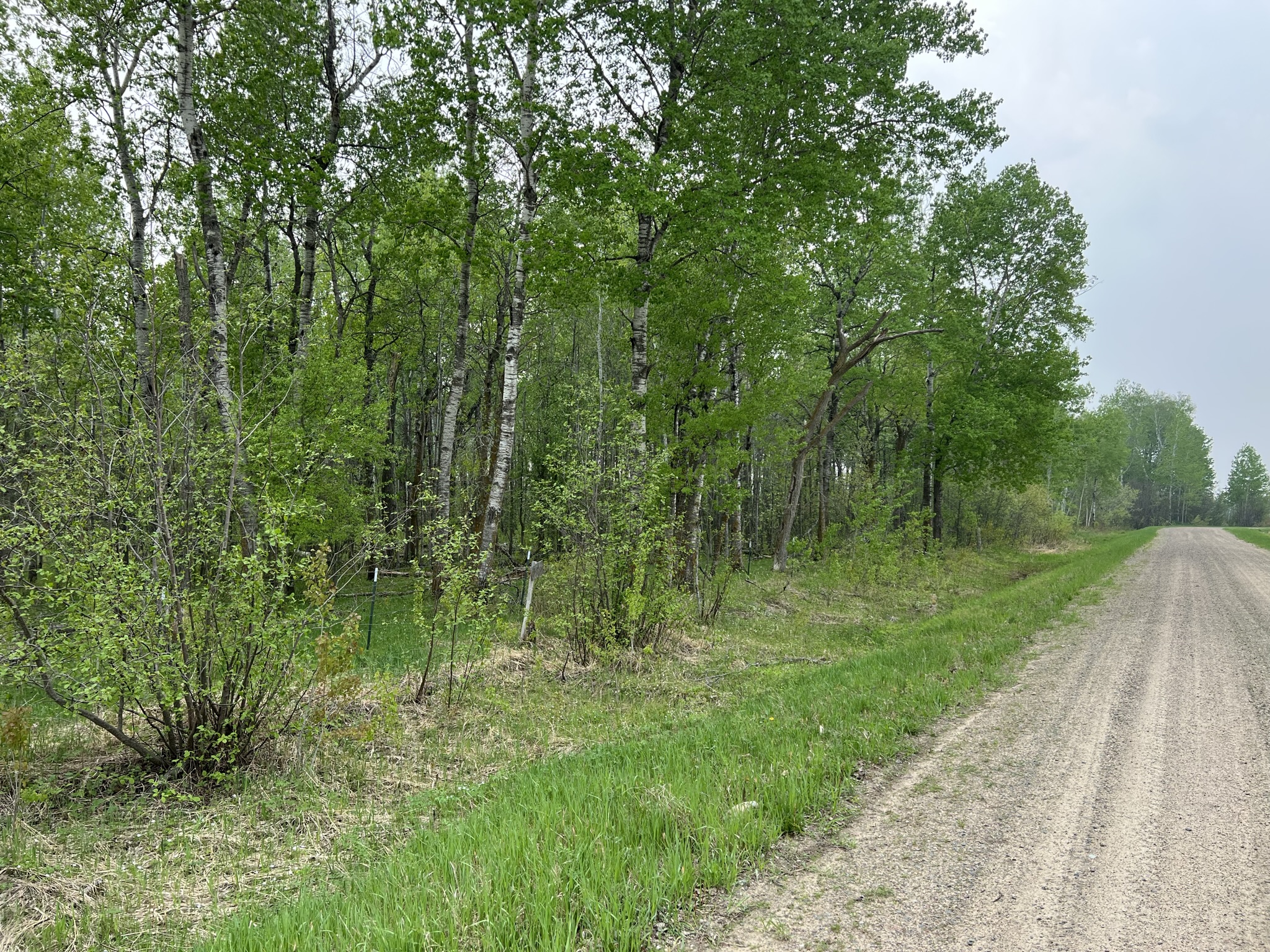
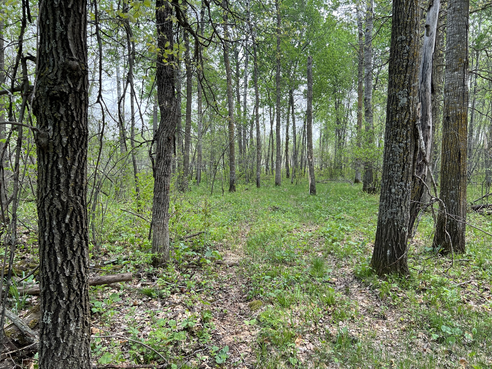
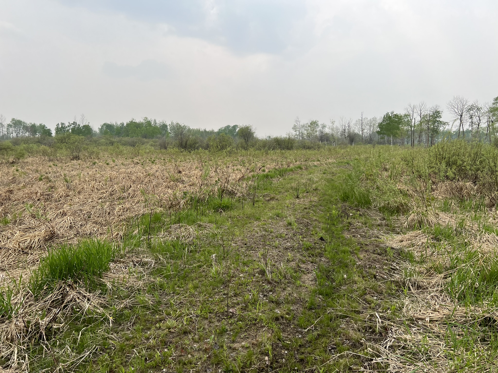
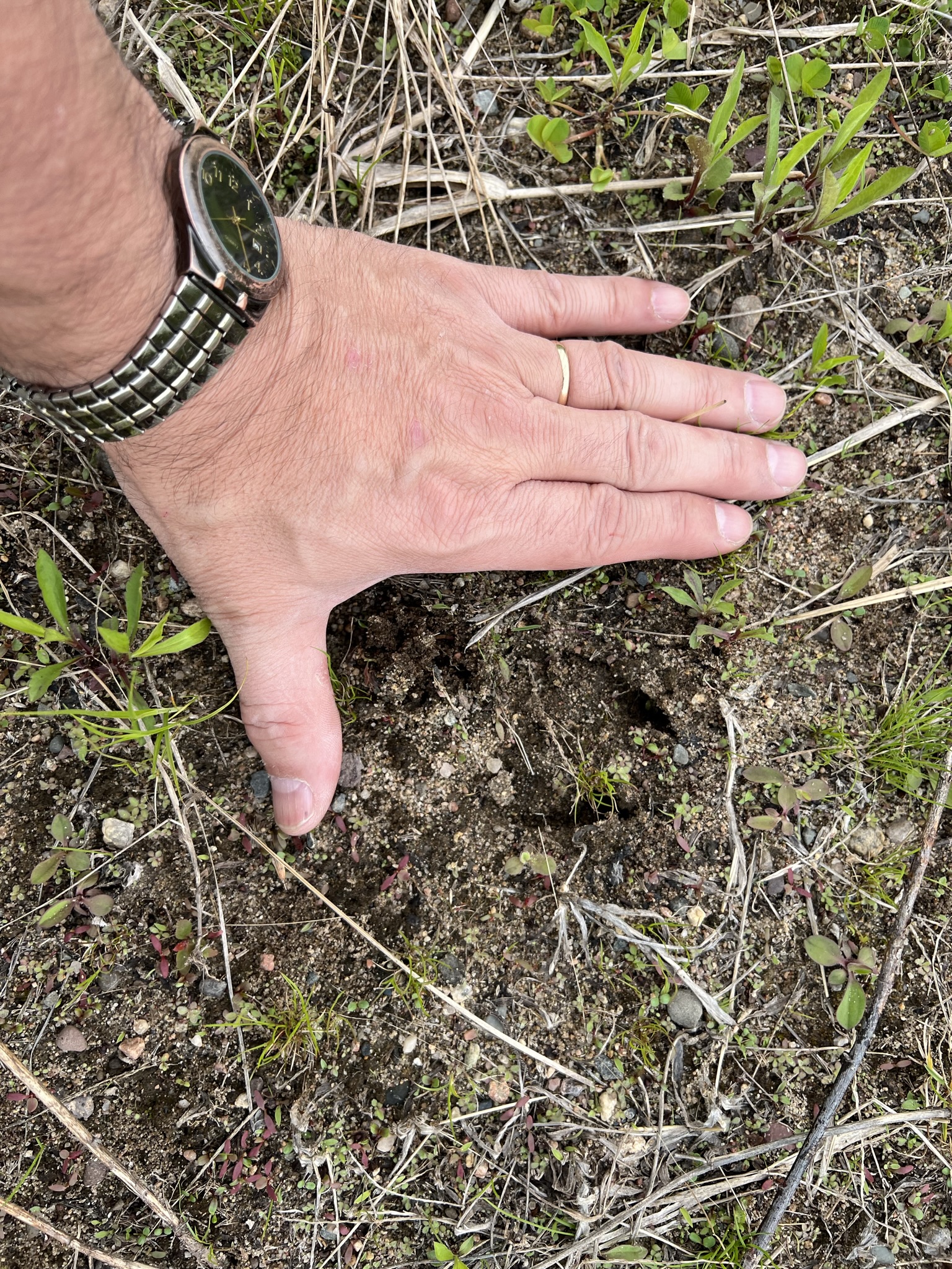
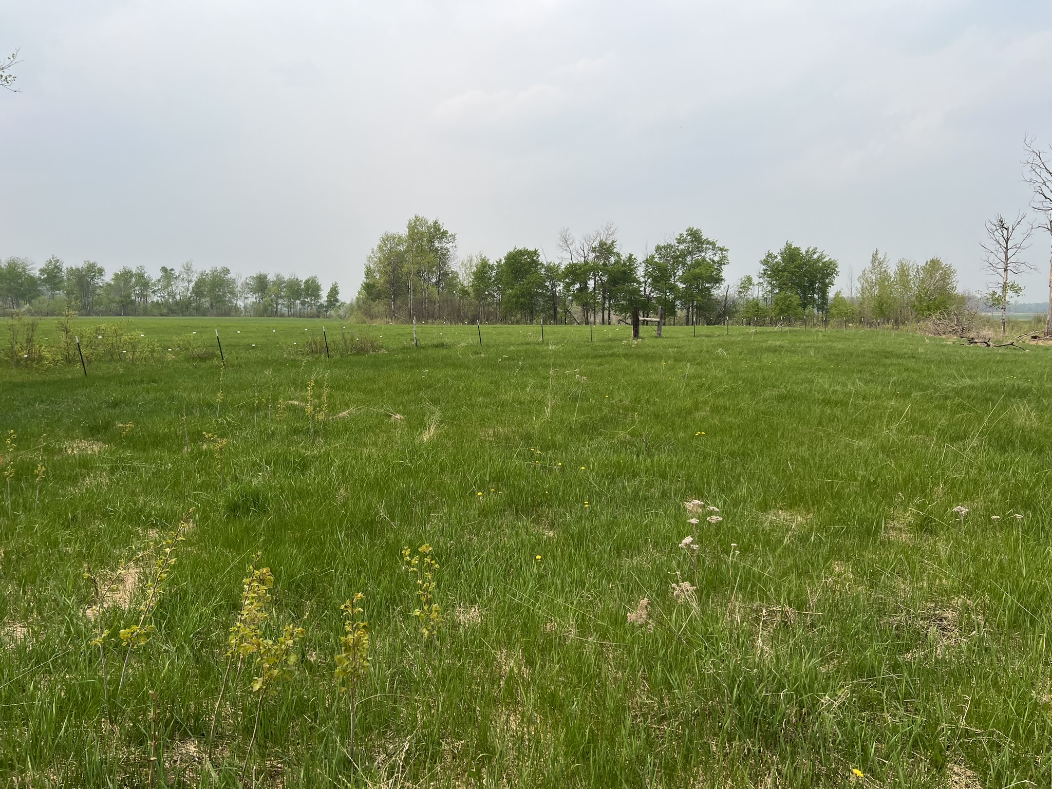
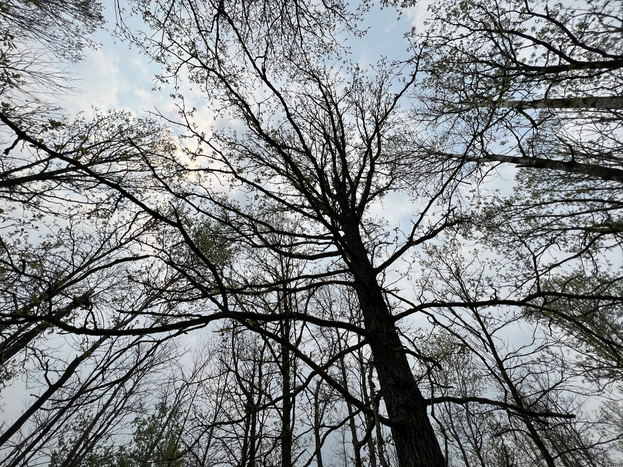
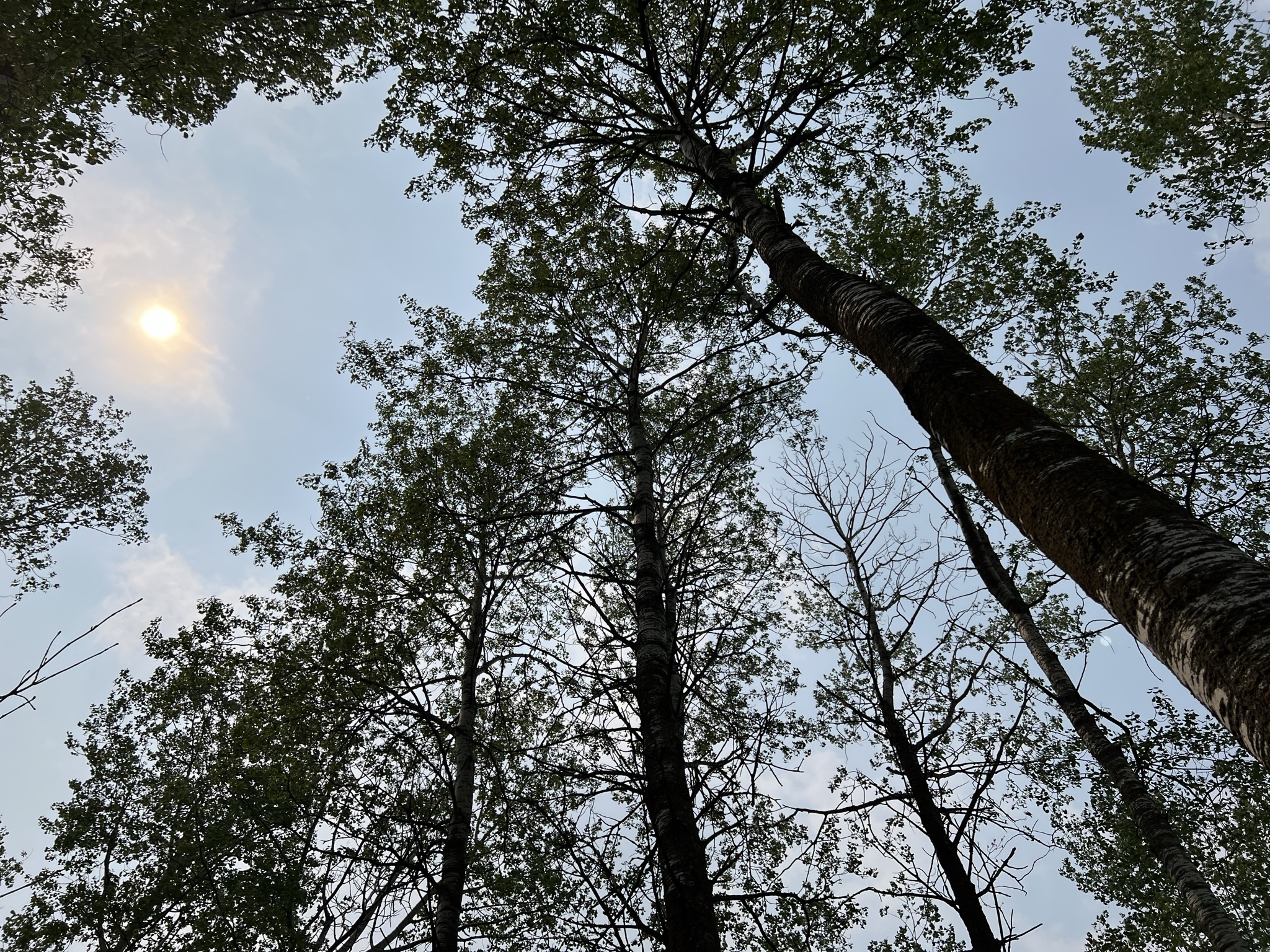
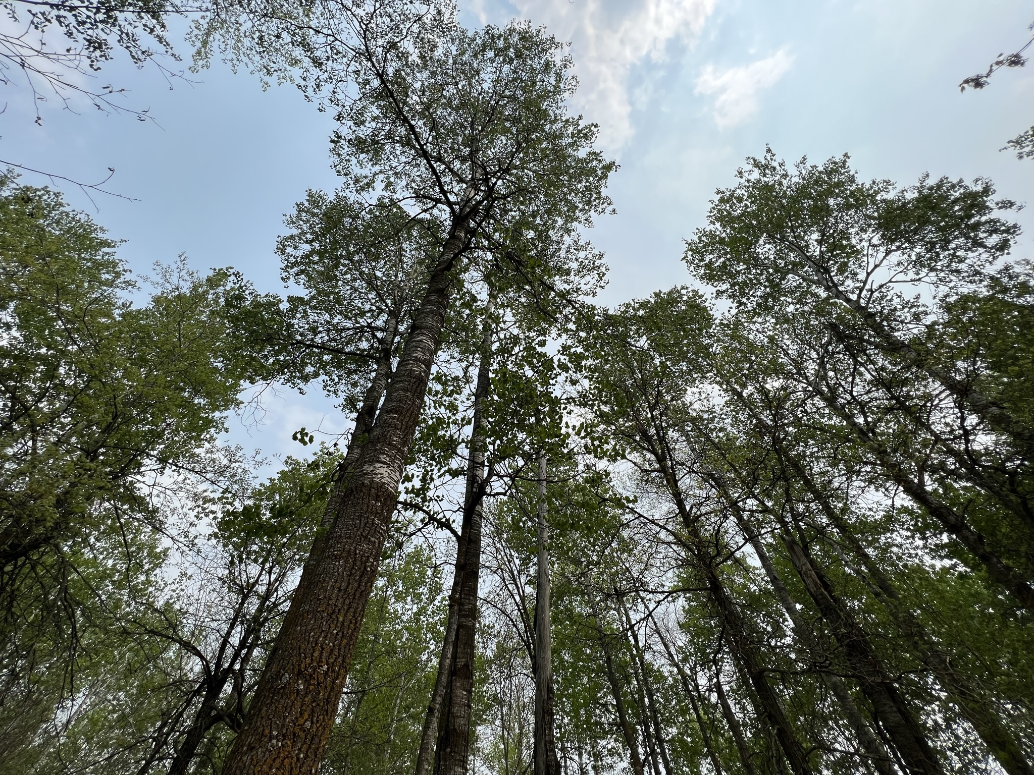
Great access off paved Co Rd 20. This 40 acre parcel awaits your next hunting/recreation adventure! Just 5 miles west of beautiful Spider Lake and recreation. Level ground with a mix of Aspen, Oak and Birch tree cover. Approximately 15 wooded acres and a water source through the central marsh area… all the ingredients for whitetail deer, bear, grouse, turkey and small game habitat. Parcel includes 4+ acres of grassland for potential food plots and campsite. Historical Deer Permit Area 246 and also adjoins over 1100 acres of public land to play on! Just north of Staples/Motley and a short drive to two wildlife management areas (Dry Sand Lake & Farnham Lake).
Main Property Info
Property ID
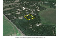
PART PID #01-029-1100
PART PID #01-029-1100
MLS Number
6407609
6407609
Status
Pending Sale
Pending Sale
List Price
$149,000
$149,000
Acres
40
40
Zoning
Shoreland RR & Ag/Forestry
Shoreland RR & Ag/Forestry
City
Backus, Motley, Pine River, Sebeka, Staples
Backus, Motley, Pine River, Sebeka, Staples
Township
Ansel
Ansel
State
MN
MN
Zip Code
56477
56477
County
Cass
Cass
Legal Description
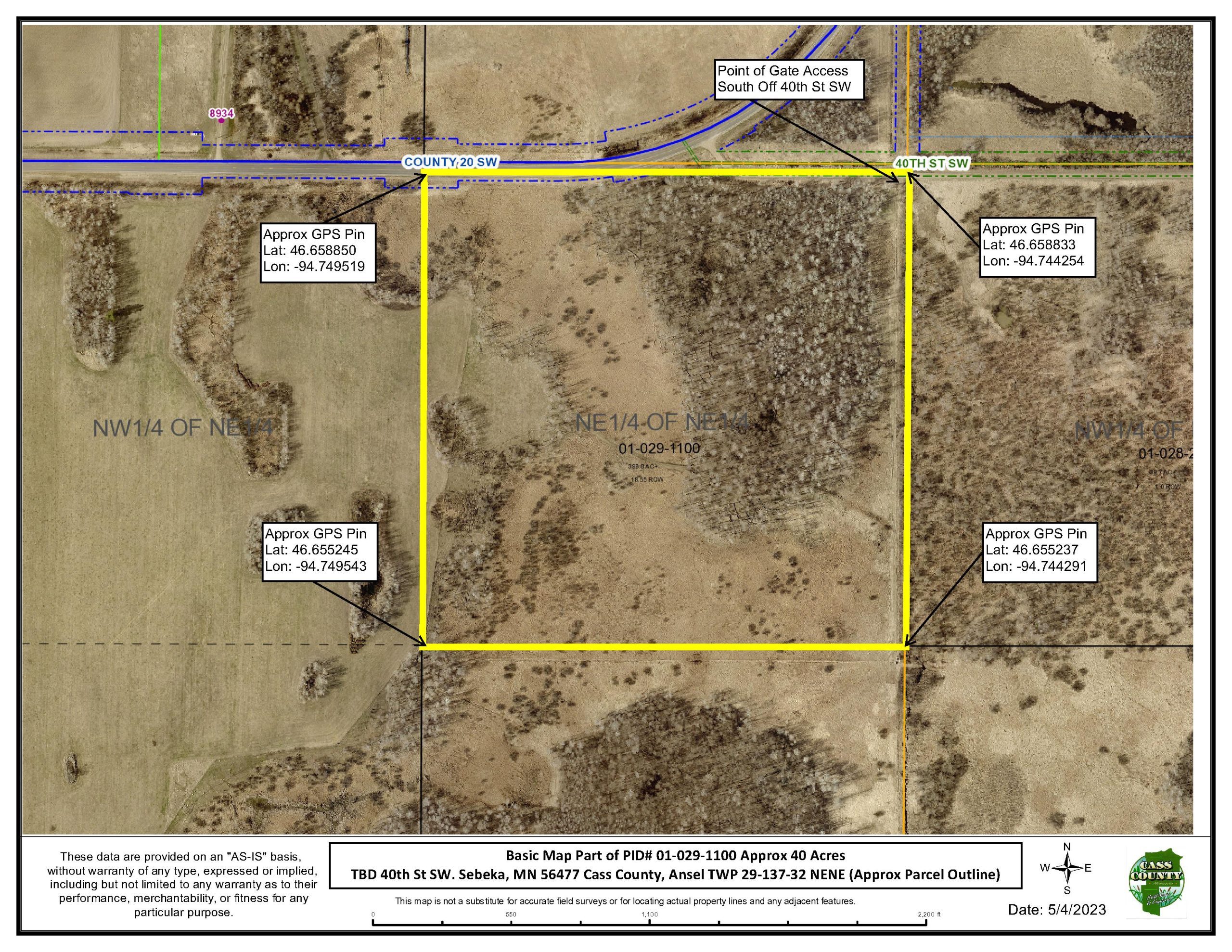
NENE Section 29, Twp 137, Range 32. PART of PID #01-029-1100, subject to county split approval and subject to 40th St. SW and County 20 SW.
NENE Section 29, Twp 137, Range 32. PART of PID #01-029-1100, subject to county split approval and subject to 40th St. SW and County 20 SW.
Property Location
Directions
From Motley MN, at the intersection of MN 210 and State Hwy 64, go north on State Hwy 64 for 23.7 miles. Turn left (W) on 40th St. SW and go 2.1 miles to gate access on the left (S).
From Motley MN, at the intersection of MN 210 and State Hwy 64, go north on State Hwy 64 for 23.7 miles. Turn left (W) on 40th St. SW and go 2.1 miles to gate access on the left (S).
Access
Just off the corner of Paved Co Rd 20 and 40th St. SW. gate access.
Just off the corner of Paved Co Rd 20 and 40th St. SW. gate access.
GPS Coordinates
Coordinates to approximate corners/points based on county mapping: NW: Lat 46.658850, Lon -94.749519 NE: Lat 46.658833, Lon -94.744254 SE: Lat 46.655237, Lon -94.744291 SW: Lat 46.655245, Lon -94.749543
Coordinates to approximate corners/points based on county mapping: NW: Lat 46.658850, Lon -94.749519 NE: Lat 46.658833, Lon -94.744254 SE: Lat 46.655237, Lon -94.744291 SW: Lat 46.655245, Lon -94.749543
Address
TBD 40th St. SW. Sebeka
TBD 40th St. SW. Sebeka
School District
Pine River-Backus - 2174
Pine River-Backus - 2174
Property Details
Pasture Acres
4
4
Wooded Acres
15
15
Dimensions (approx)
1320x1320x1320x1320
1320x1320x1320x1320
Utilities
Available Utilities
Electric, Fiber Optic, Phone
Electric, Fiber Optic, Phone
On Site Utilities
None
None
Power Company
Todd-Wadena Electric (1-800-320-8932)
Todd-Wadena Electric (1-800-320-8932)
Types
Farm Type
Hunt/Rec
Hunt/Rec
Taxes & Fees
Tax Amount
$0
$0
Tax Year
2023
2023
Other Details
Section Number
29
29
Township Number
137
137
Range Number
32
32
Additional Comments
Timber Comments
Mature Aspen, Oak, Birch,
Mature Aspen, Oak, Birch,
Hunting Comments
DPA 246
DPA 246
Disclosures
Listing is for approximately 40 acres identified as the NENE portion only of PID#01-029-1100. Subject to County Split Approval. Deer stands are not included with the parcel offering. Acreage, dimensions, and taxes estimated based on county data and mapping; county disclaimers included by reference. Not surveyed. Photos/maps for convenience only and not guaranteed; physically inspect prior to purchase. West fence-line adjoining west boundary, currently runs at a NE angle through parcel.
Listing is for approximately 40 acres identified as the NENE portion only of PID#01-029-1100. Subject to County Split Approval. Deer stands are not included with the parcel offering. Acreage, dimensions, and taxes estimated based on county data and mapping; county disclaimers included by reference. Not surveyed. Photos/maps for convenience only and not guaranteed; physically inspect prior to purchase. West fence-line adjoining west boundary, currently runs at a NE angle through parcel.