


MLS Number : 4760733
Sold $45,000 - Home & Cabin Sites
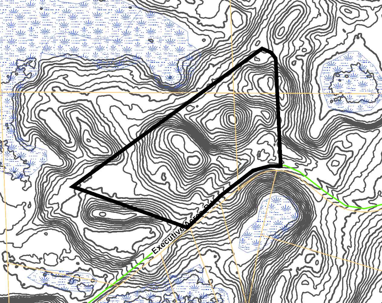
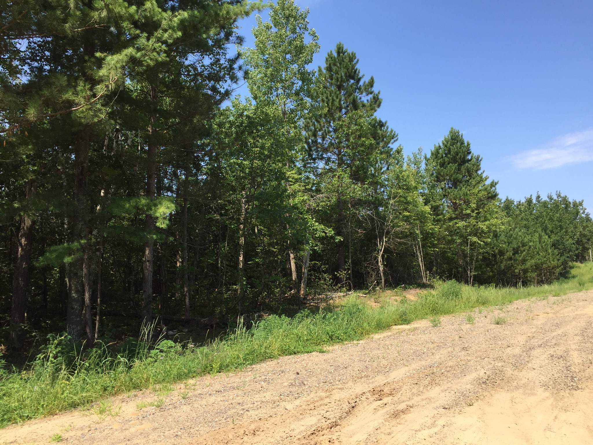
Estate-sized homesite in the carefully-developed “Tranquility II” neighborhood just outside of Brainerd. Beautifully-wooded hilly upland. Paved Executive Acres Rd provides access along the southeast side and E Tranquility Dr (a private easement road with cul-de-sac) provides access along the east and portion of the northwest side. Public access to the Mississippi River is only 2 1/2 miles away from Tranquility II at the end of Executive Acres Rd, and public access to North Long Lake is just 3 1/2 miles to the north for fishing, boating, and more. Other nearby family-friendly recreational opportunities include golf, downhill skiing, biking, scuba diving, hiking, snowmobiling, and the Paul Bunyan Trail. Enjoy the beauty, recreation, and amenities of the Brainerd Lakes Area in this country setting.
Main Property Info
Pt 970121100000009 & Pt 970121200000009 & Pt 970014400000009 & Pt 970014300000009
4760733
Sold
$48,900
$45,000
13
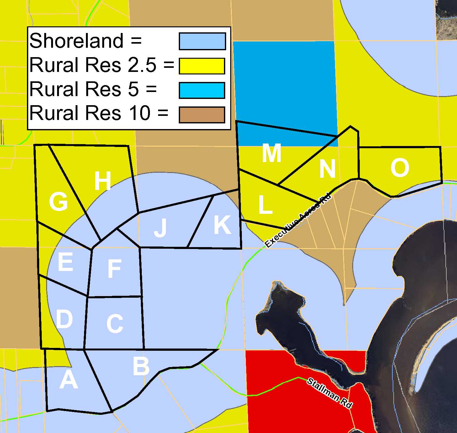
Rural Res 5 & Rural Res 2.5
Brainerd
First Assessment Twp
MN
56401
Crow Wing
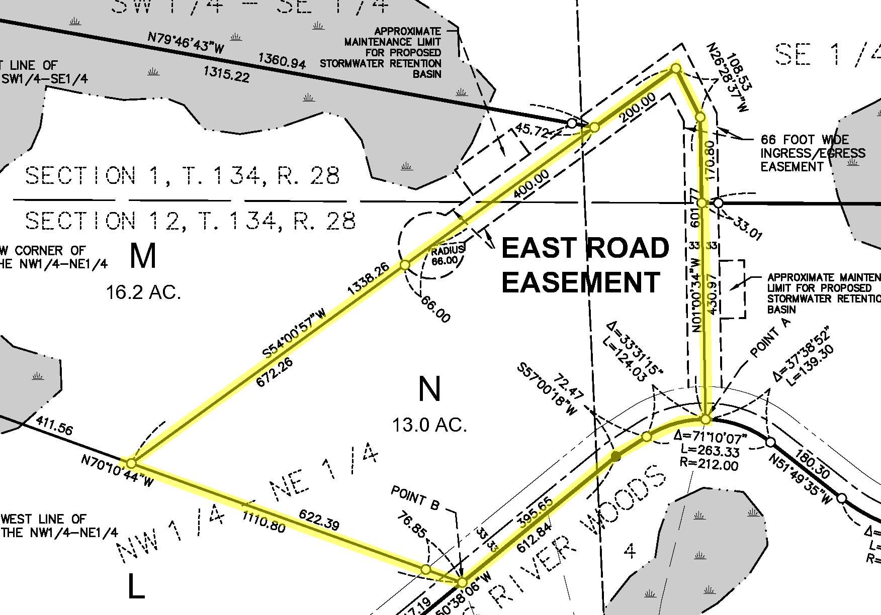
"Tract N" - Pts of SESE & SWSE, 01-134-28, & Pts of NENE & NWNE, 12-134-28. (See Supplements for full description.) Subject to Executive Acres Rd; declarations and road maintenance agreement; and any other easements, restrictions, or reservations of record.
Property Location
From the intersection of State Hwy 210 and Co Rd 3 (Mill Ave) in east Brainerd, north on Co Rd 3 (Mill Ave) for 4 7/10 miles. Right on Executive Acres Rd 1 8/10 miles to tract on the left (across from address #12261 & #12271). Continue another 1/10 mile along southeast side of Tract N to E Tranquility Dr on the left which runs along the east side and curves around the northern corner of the tract.
Paved Executive Acres Rd runs along the southeast side of this tract, and E Tranquility Dr, a private easement road, runs along the east and portion of the northwest side.
Coordinates to approximate corners/points: Point on the northwesterly ROW line of Executive Acres Rd near southernmost corner = 46.4400, -94.1470; westerlymost corner = 46.4405, -94.1493; point where northwesterly boundary meets end of cul-de-sac = 46.4416, -94.1471; northernmost point (in middle of E Tranquility Dr) = 46.4427, -94.1450; point where E Tranquility Dr intersects northerly ROW line of Executive Acres Rd near SE corner of tract = 46.4410, -94.1447.
TractN Executive Acres Road & E Tranquility Dr
Tranquility II
Brainerd - 181
Property Details
592 x 699 x 1338 x 108 x 601 (IRR)
Utilities
Crow Wing Power (1-800-648-9401)
Taxes & Fees
$155
0
$155
2016
Other Details
01 & 12
134
28
99
1
Additional Comments
This property has been managed according to Forest Stewardship Council (FSC) standards. If timber value is important to you, seek the advice of a competent forester to determine species, volumes and values.
The property has been surveyed; see Certificate of Survey for exact dimensions. The proposed tract represents split of existing tax parcel(s); taxes shown are estimated based on county parcel data. This property is registered subdivided land; contact listing agent for approved Purchase Agreement (PA), addendums, and other documents that must be used for purchases. Tract N is subject to declarations and road maintenance agreement wherein the owner will automatically become member of a road maintenance and storm water management association; see the declaration and road maintenance agreement document for details. Portions of Tract N lie within Ditch 7 Assessment Area. The parent parcels for Tract N (970121100000009 & 970121200000009 & 970014400000009 & 970014300000009) have been identified as sites of Blanding’s Turtles and/or their habitat and are subject to any restrictions or recommendations for avoiding/minimizing impact to their lives/habitat. Photos/maps may utilize county mapping and are for convenience only; not guaranteed; county disclaimers are included by reference. Physically inspect the property prior to purchase. See Tranquility II General Info Fact Sheet for detailed information about utility availability. Any deer stands on the land are not property of the seller and are not included in the sale. Closing dates the 2nd Wednesday each month.


