
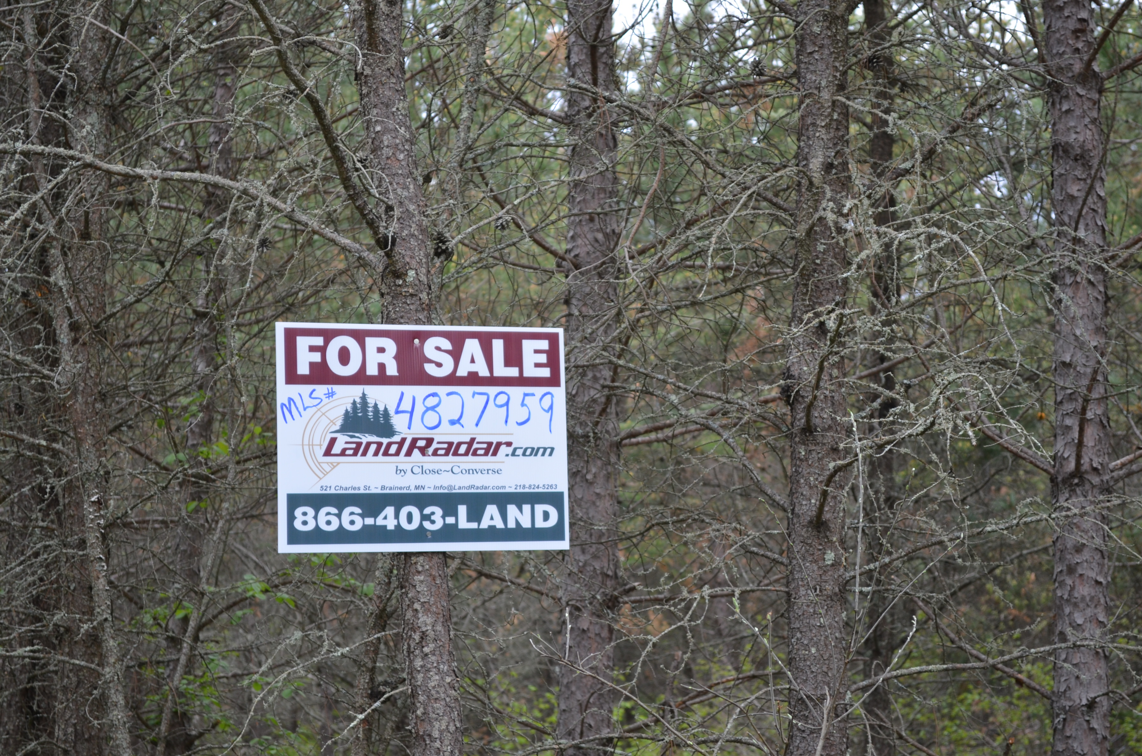


MLS Number : 4827959
Sold $37,000 - Hunting & Recreation
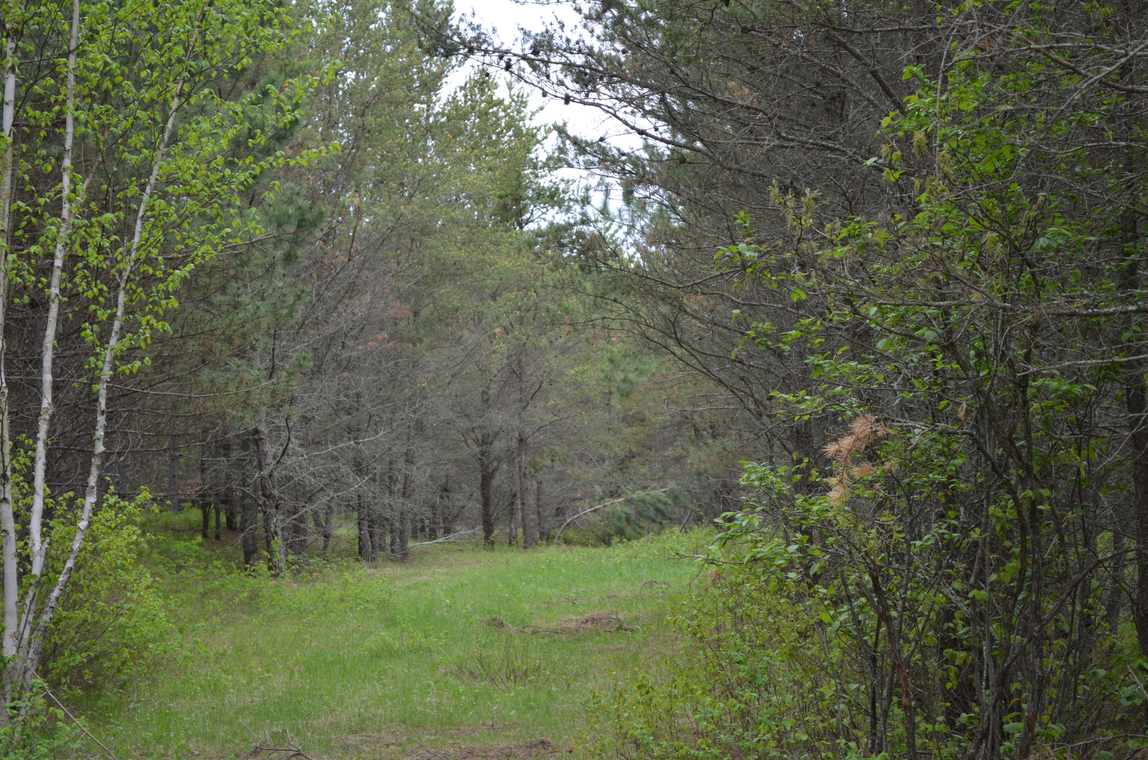
Potlatch land by Fifth and Sixth Crow Wing Lakes south of Nevis. Gently rolling upland topography wooded with red pine plantation and a patch of aspen in the southwest corner. Access via an easement trail extending from a gravel township road into the northeast corner. Public access to Sixth Crow Wing Lake is about two miles away for fishing and water recreation, public land is less than two miles away for additional hunting space, and Nevis is less than five miles away for necessities.
Main Property Info
Property ID
212801810
212801810
MLS Number
4827959
4827959
Status
Sold
Sold
List Price
$41,900
$41,900
Selling Price
$37,000
$37,000
Acres
20
20
Zoning
not zoned
not zoned
City
Nevis
Nevis
Township
Nevis Twp
Nevis Twp
State
MN
MN
Zip Code
56467
56467
County
Hubbard
Hubbard
Legal Description
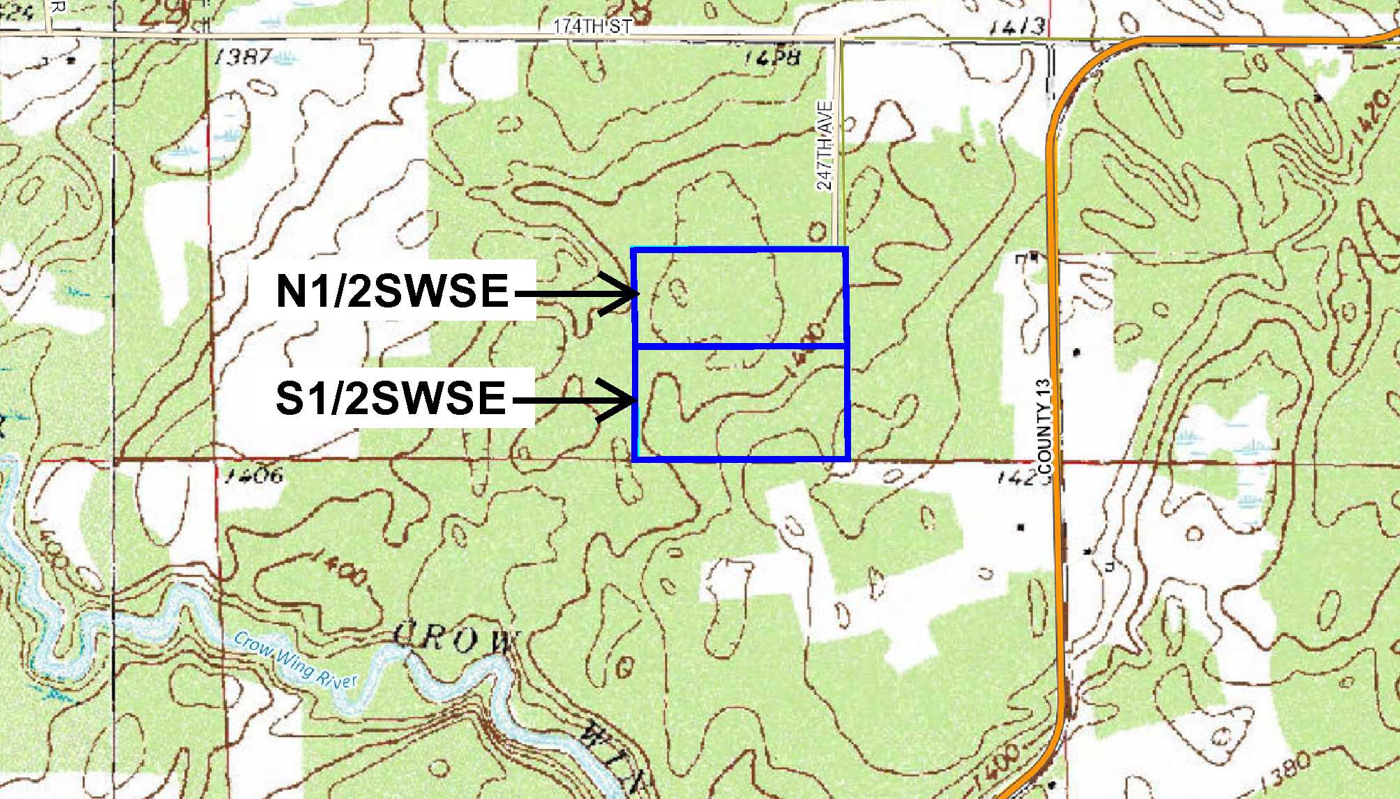
S1/2SWSE, 28-140-33. Together with easement over existing trail through N1/2SWSE. Subject to any easements, restrictions, or reservations of record.
S1/2SWSE, 28-140-33. Together with easement over existing trail through N1/2SWSE. Subject to any easements, restrictions, or reservations of record.
Property Location
Directions
From the intersection of State Hwy 34 and Co Rd 13 in Nevis, south and west on Co Rd 13 for 3 7/10 miles. Keep right (continue straight) onto 174th St for 4/10 miles. Left on 247th Ave (Twp Rd 28-1) for approx 4/10 mile into NE corner of the property.
From the intersection of State Hwy 34 and Co Rd 13 in Nevis, south and west on Co Rd 13 for 3 7/10 miles. Keep right (continue straight) onto 174th St for 4/10 miles. Left on 247th Ave (Twp Rd 28-1) for approx 4/10 mile into NE corner of the property.
Access
Access is via a easement trail gravel extending from gravel 247th Ave (Twp Rd 28-1) through adjoining land to the north.
Access is via a easement trail gravel extending from gravel 247th Ave (Twp Rd 28-1) through adjoining land to the north.
GPS Coordinates
Coordinates to approximate corners/points based on county mapping: NE corner (near where easement trail enters north boundary = 46.9081, -94.8566; SE corner = 46.9063, -94.8566; SW corner = 46.9063, -94.8620; NW corner = 46.9081, -94.8620.
Coordinates to approximate corners/points based on county mapping: NE corner (near where easement trail enters north boundary = 46.9081, -94.8566; SE corner = 46.9063, -94.8566; SW corner = 46.9063, -94.8620; NW corner = 46.9081, -94.8620.
Address
247th Ave
247th Ave
School District
Nevis - 308
Nevis - 308
Property Details
Dimensions (approx)
1320 x 660 x 1320 x 660
1320 x 660 x 1320 x 660
Utilities
Power Company
Itasca-Mantrap Co-op (1-888-713-3377)
Itasca-Mantrap Co-op (1-888-713-3377)
Taxes & Fees
Tax Year
new parcel number, taxes unknown
new parcel number, taxes unknown
Other Details
Section Number
28
28
Township Number
140
140
Range Number
33
33
Estimated Upland %
99
99
Estimated Wetland %
1
1
Additional Comments
Timber Comments
This property has been managed according to Forest Stewardship Council (FSC) standards and is wooded with red pine and a patch of aspen. If timber value is important to you, seek the advice of a competent forester to determine species, volumes and values.
This property has been managed according to Forest Stewardship Council (FSC) standards and is wooded with red pine and a patch of aspen. If timber value is important to you, seek the advice of a competent forester to determine species, volumes and values.
Hunting Comments
This property is near public land in MN Firearms Deer Zone 241.
This property is near public land in MN Firearms Deer Zone 241.
Disclosures
Parcel split; acreage, dimensions, and taxes estimated based on county data and mapping; county disclaimers included by reference; subject to split approval if necessary. Not surveyed. Photos/maps for convenience only and not guaranteed; physically inspect prior to purchase. Any deer stands on the land are not property of seller and are not included in sale. Use seller-approved PA and addendum; closing dates the 3rd Wednesday each month.
Parcel split; acreage, dimensions, and taxes estimated based on county data and mapping; county disclaimers included by reference; subject to split approval if necessary. Not surveyed. Photos/maps for convenience only and not guaranteed; physically inspect prior to purchase. Any deer stands on the land are not property of seller and are not included in sale. Use seller-approved PA and addendum; closing dates the 3rd Wednesday each month.


