
MLS Number : 4705564
Sold $97,776 - Hunting & Recreation
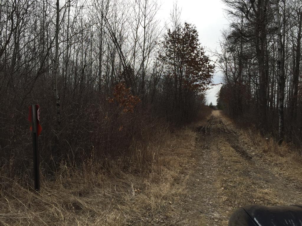
Rural Potlatch land within the Lyons State Forest near the Crow Wing River and Strike Wildlife Management Area. Fairly level upland with paved county road access along the north and gravel township road access along the west. Centrally located between Nimrod, Sebeka, Staples, and Wadena.
Main Property Info
Property ID
Pt R060281010 & Pt R060282010
Pt R060281010 & Pt R060282010
MLS Number
4705564
4705564
Status
Sold
Sold
List Price
$99,900
$99,900
Selling Price
$97,776
$97,776
Acres
80.000
80.000
Zoning
A-2 Mixed Agriculture
A-2 Mixed Agriculture
City
Verndale
Verndale
Township
Lyons Twp
Lyons Twp
State
MN
MN
Zip Code
56481
56481
County
Wadena
Wadena
Legal Description
NWNW & SWNW, 28-136-33. Subject to Co Rd 9; 241st Ave; and any easements, restrictions, or reservations of record.
NWNW & SWNW, 28-136-33. Subject to Co Rd 9; 241st Ave; and any easements, restrictions, or reservations of record.
Property Location
Directions
From State Hwy 227 & CR 26 south of Nimrod, south on CR 26 approx 4 miles. Left/east on Co Rd 9 approx 1 mile to northwest corner at the intersection of Co Rd 9 and 241st Ave.
From State Hwy 227 & CR 26 south of Nimrod, south on CR 26 approx 4 miles. Left/east on Co Rd 9 approx 1 mile to northwest corner at the intersection of Co Rd 9 and 241st Ave.
Access
Paved Co Rd 9 is along the north side of this tract and gravel 241st Ave is along the west side.
Paved Co Rd 9 is along the north side of this tract and gravel 241st Ave is along the west side.
GPS Coordinates
Coordinates to approx corners based on county mapping: NW corner at intersection of Co Rd 9 and 241st Ave = 46.5720, -94.8640; NE corner along Co Rd 9 = 46.5720, -94.8587; SE corner = 46.5647, -94.8587; SW corner along 241st Ave = 46.5647, -94.8640; point where southerlymost trail enters west side = 46.5665, -94.8639; point where northerlymost trail enters west side = 46.5696, -94.8639.
Coordinates to approx corners based on county mapping: NW corner at intersection of Co Rd 9 and 241st Ave = 46.5720, -94.8640; NE corner along Co Rd 9 = 46.5720, -94.8587; SE corner = 46.5647, -94.8587; SW corner along 241st Ave = 46.5647, -94.8640; point where southerlymost trail enters west side = 46.5665, -94.8639; point where northerlymost trail enters west side = 46.5696, -94.8639.
Address
W2NW County Road 9
W2NW County Road 9
School District
Sebeka - 820
Sebeka - 820
Property Details
Dimensions (approx)
1320x1320x2640x2640
1320x1320x2640x2640
Utilities
Available Utilities
None
None
On Site Utilities
None
None
Power Company
Todd-Wadena Electric (1-800-320-8932)
Todd-Wadena Electric (1-800-320-8932)
Taxes & Fees
Association Fee
$0
$0
Tax Amount
$831
$831
Tax With Assessments
$831
$831
Tax Year
2016
2016
Other Details
Section Number
28
28
Township Number
136
136
Range Number
33
33
Estimated Upland %
85
85
Estimated Wetland %
15
15
Additional Comments
Timber Comments
This property has been managed according to Forest Stewardship Council (FSC) standards. Timber includes aspen, red pine, and spruce. If timber value is important to you, seek the advice of a competent forester to determine species, volumes and values.
This property has been managed according to Forest Stewardship Council (FSC) standards. Timber includes aspen, red pine, and spruce. If timber value is important to you, seek the advice of a competent forester to determine species, volumes and values.
Disclosures
Parcel splits; acreage, dimensions, and taxes estimated based on county data and mapping; county disclaimers included by reference; subject to split approval. Not surveyed. Photos/maps for convenience only and not guaranteed; tree cover may be different than depicted; physically inspect prior to purchase. Any deer stands on the land are not property of seller and are not included in sale. Use seller-approved PA and addendum; closing dates the 2nd Wednesday each month.
Parcel splits; acreage, dimensions, and taxes estimated based on county data and mapping; county disclaimers included by reference; subject to split approval. Not surveyed. Photos/maps for convenience only and not guaranteed; tree cover may be different than depicted; physically inspect prior to purchase. Any deer stands on the land are not property of seller and are not included in sale. Use seller-approved PA and addendum; closing dates the 2nd Wednesday each month.


