


MLS Number : 5644182
Sold $87,200 - Home & Cabin Sites, Hunting & Recreation
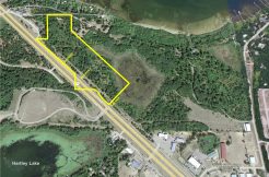
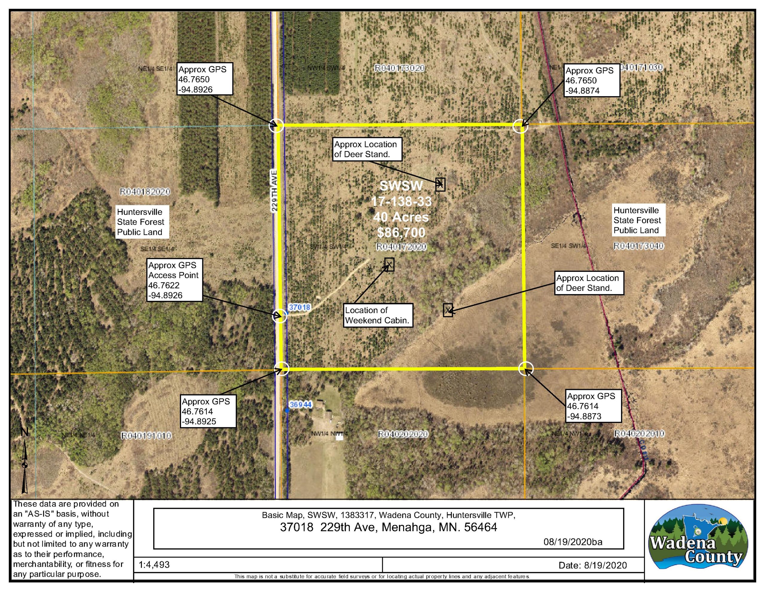
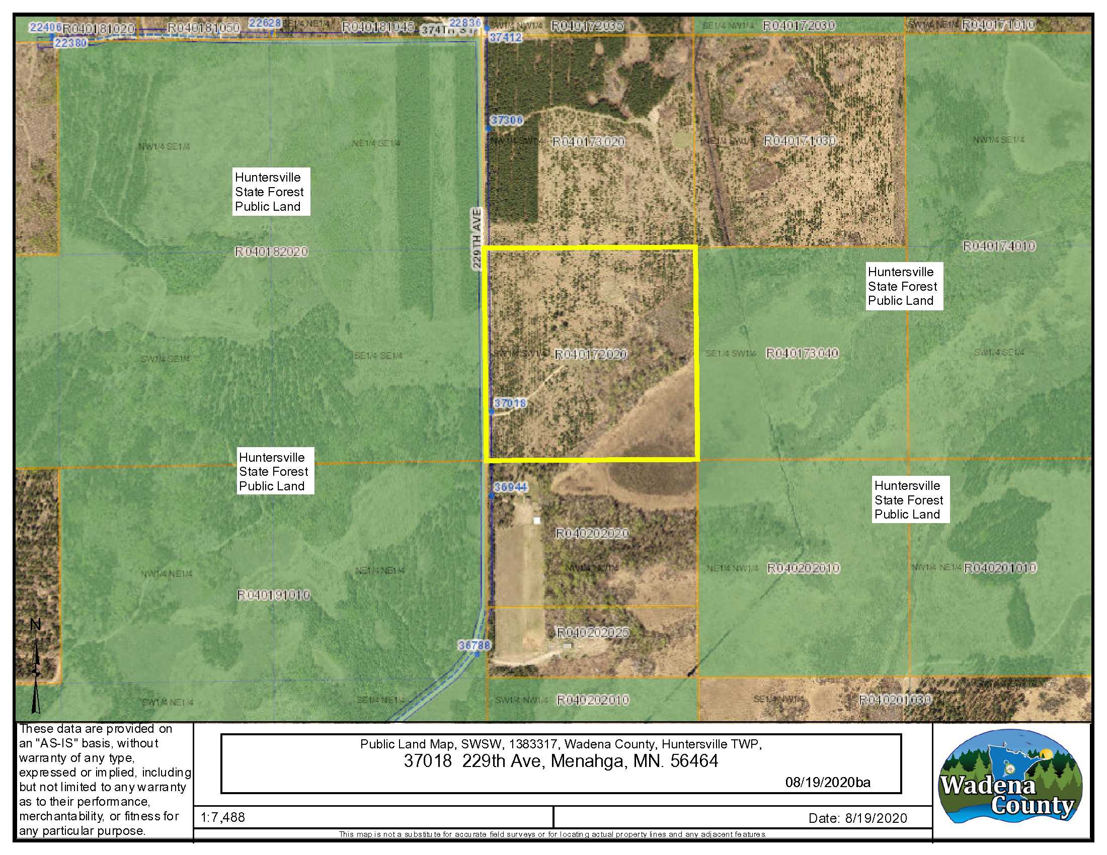
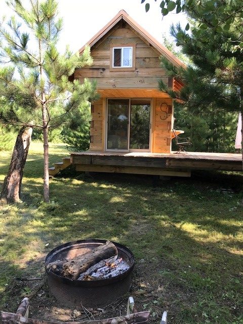
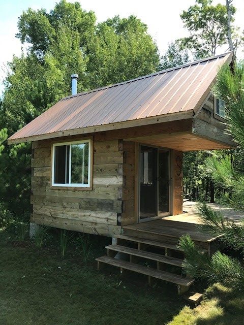
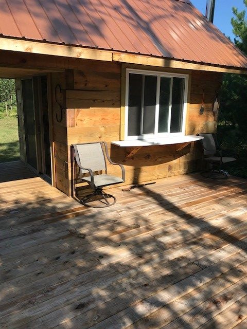
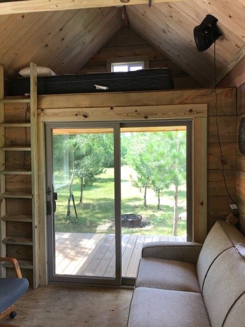
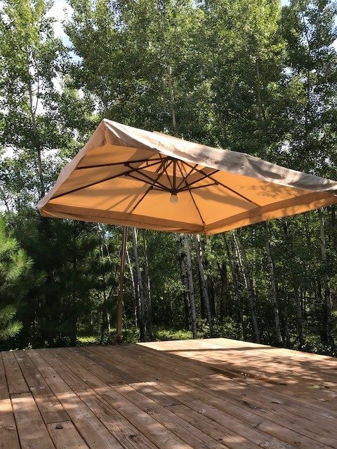
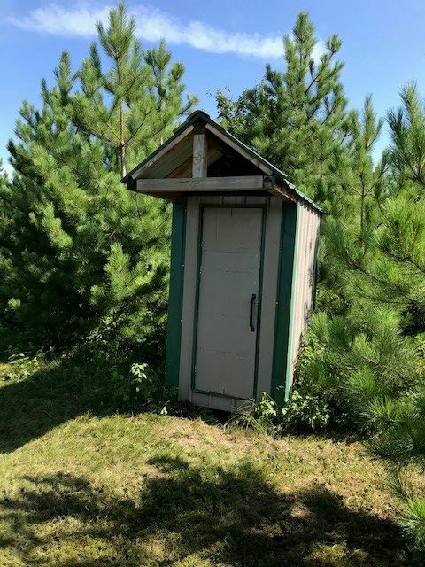
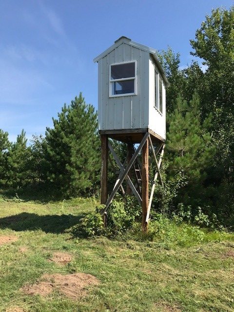
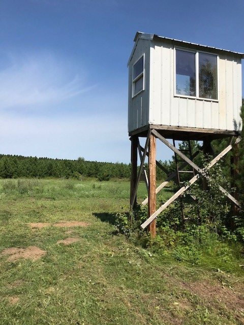
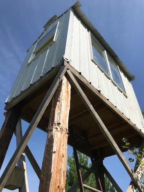
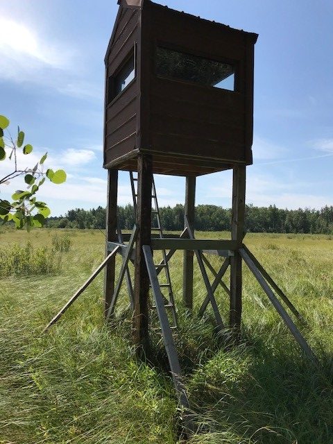
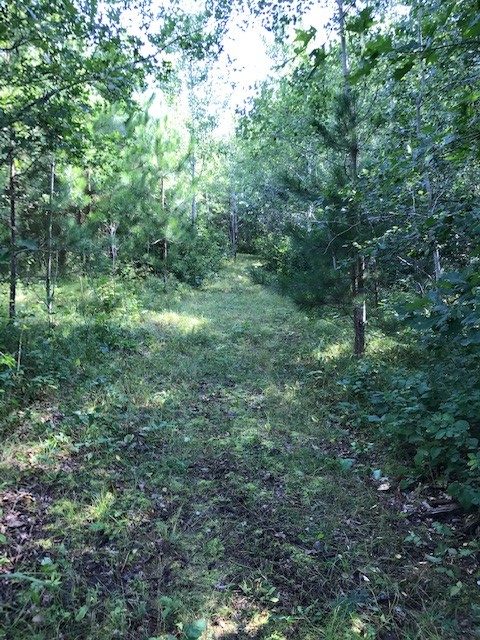
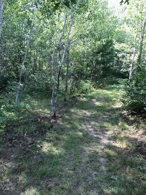
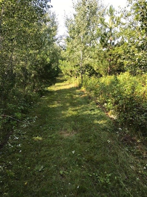
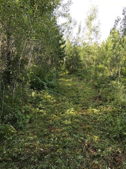
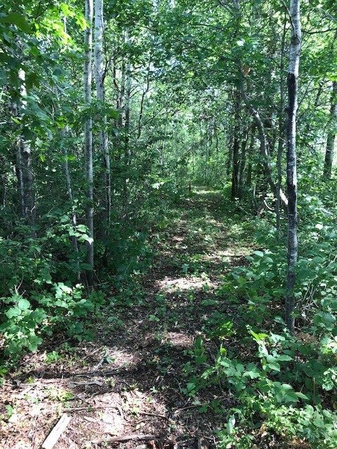
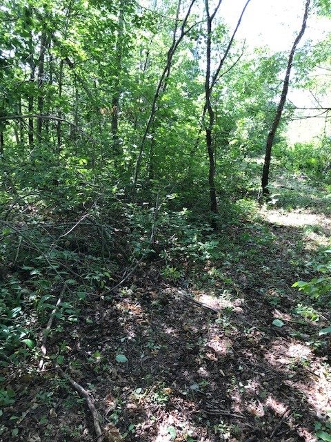
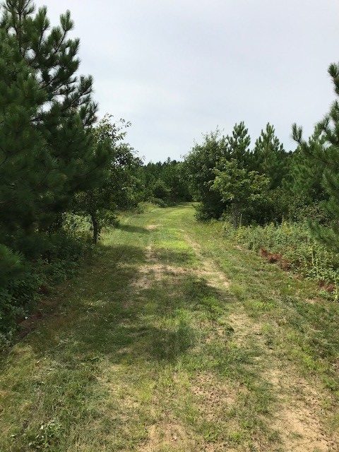
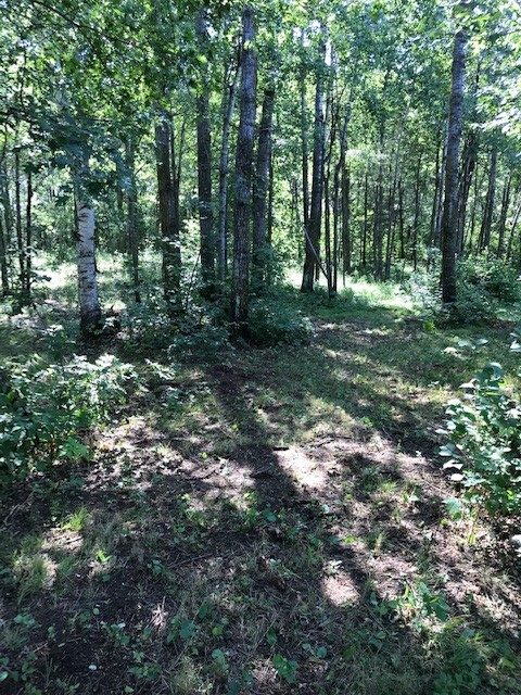
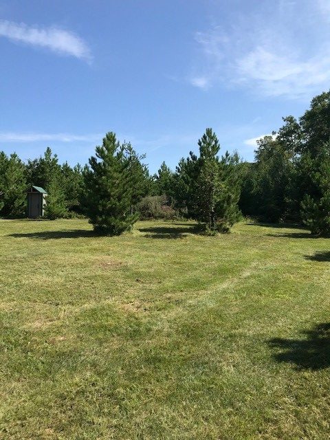
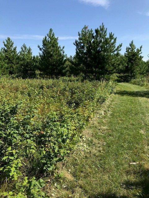
Your “get-away” awaits you on this beautiful 40 acres with a quaint weekend cabin, camp, hunting and recreation all within just 1 mile from the Huntersville Outpost! This mostly level parcel with an interior trail system, boasts 2 permanent deer stands and a food plot all adjoining 100’s of acres of Huntersville State Forest land to play on! The weekend cabin is wired for your generator power and has 2 loft areas for sleeping, a wood burning stove and a large deck overlooking the forested area. A variety of tree cover includes red pine, aspen, fruit and a mix of hardwoods/softwoods of varied ages. A nice recipe for Whitetail deer and other wildlife habitat. Perfect for your next hunting destination. Take action now, as Huntersville parcels sell quickly!!
Main Property Info
040172020
5644182
Sold
$86,700
$87,200
40
A-2 Mixed Agriculture
Menahga
Huntersville Twp
MN
56464
Wadena
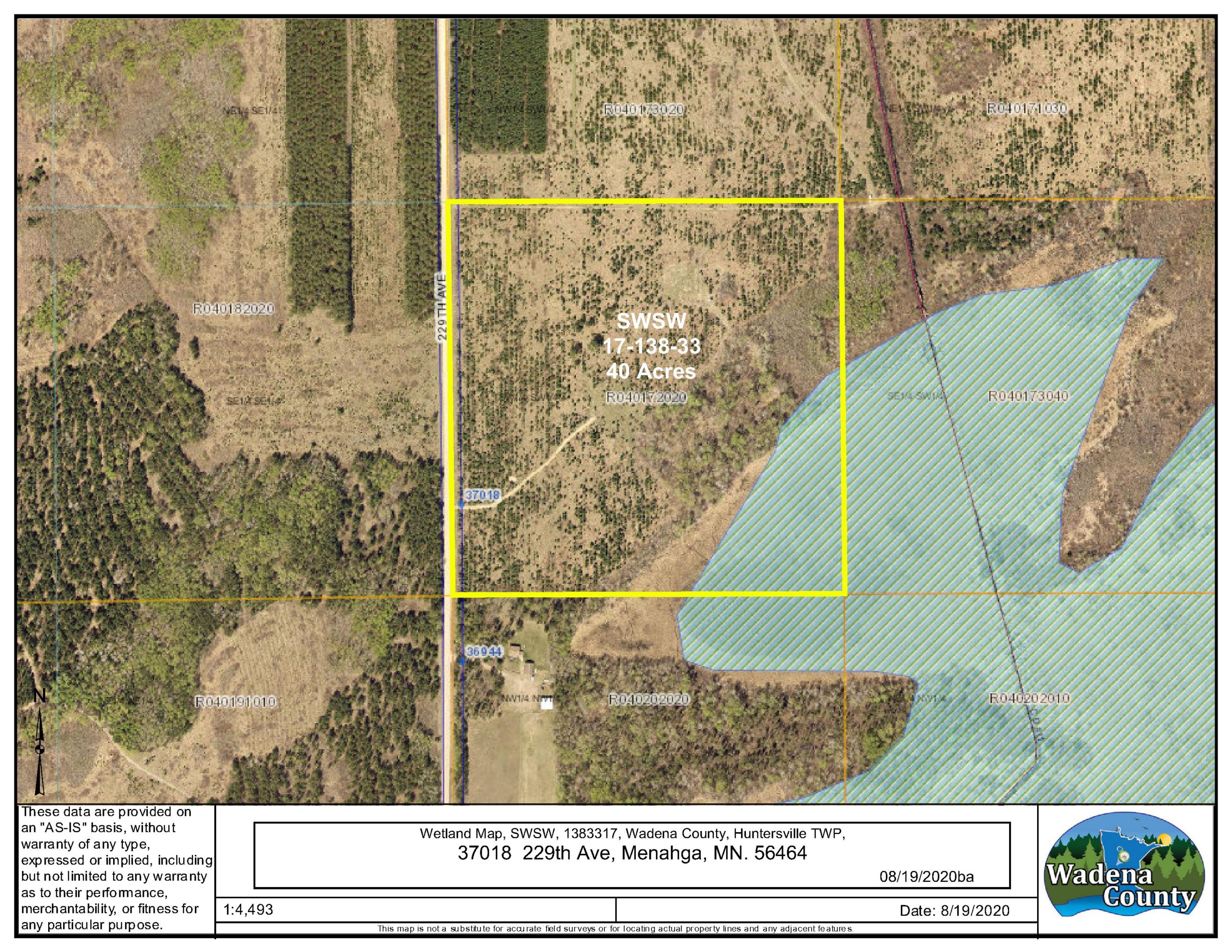
SWSW, 17-138-33, Huntersville Twp, Wadena County, MN. 56464 Subject to Co Rd 15 (229th Ave.) and any easements, restrictions or reservations of record.
Property Location
From the intersection of Co Rd 18 (380th St) and Old Bridge Rd on the east side of Huntersville go west on Old Bridge Rd 0.2 mi. Turn Left (S) on 229th Ave and go 0.8 mi. to location access on the left. (911 Address Marker #37018)
Address is 37018 229th Ave. (Co Rd 15) Menahga, MN. 56464. Approximate GPS point of driveway access: Lat= 46.7622, Lon= -94.8926
Coordinates to approximate corners/points based on county mapping: NW= 46.7650 -94.8926, NE= 46.7650 -94.8874, SE= 46.7614 -94.8873, SW= 46.7614 -94.8925
#37018 - 229th Avenue, Menahga, MN 56464
Menahga - 82
Property Details
1
1
32
1320’ X 1320’ X 1320’ X 1320’
Utilities
Electric and Fiber Optic Nearby
None
Todd-Wadena Electric (1-800-320-8932)
Waterfront
N/A
N/A
N/A
Taxes & Fees
No
$0
0
$554
0
$554
No
N/A
2020
Other Details
17
138
33
85
15
Additional Comments
Red Pine, Aspen, fruit, hardwoods/softwoods of various ages.
Deer Permit Area: #246
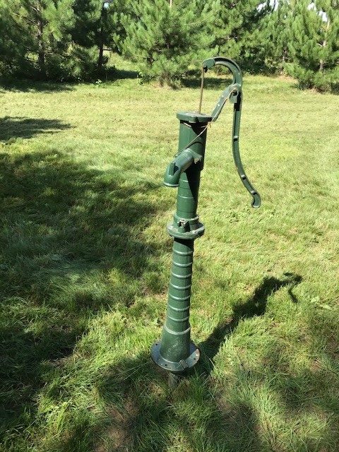
A 33’ easement running along the north boundary line affects this property. See legal description and maps for details. Acreage, dimensions, and taxes estimated based on county data and mapping or seller data; county disclaimers included by reference; subject to split approval if necessary. Not surveyed. Photos/maps and GPS coordinates for convenience only and not guaranteed; physically inspect prior to purchase. 2 permanent deer stands remain with the property but personal property and the deck umbrella are negotiable, but not included with the sale. The well on the property is a sand point hand pump well.