

MLS Number : 6383351
Sold $45,000 - Home & Cabin Sites
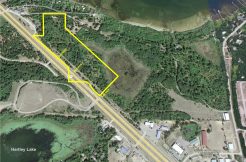
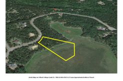
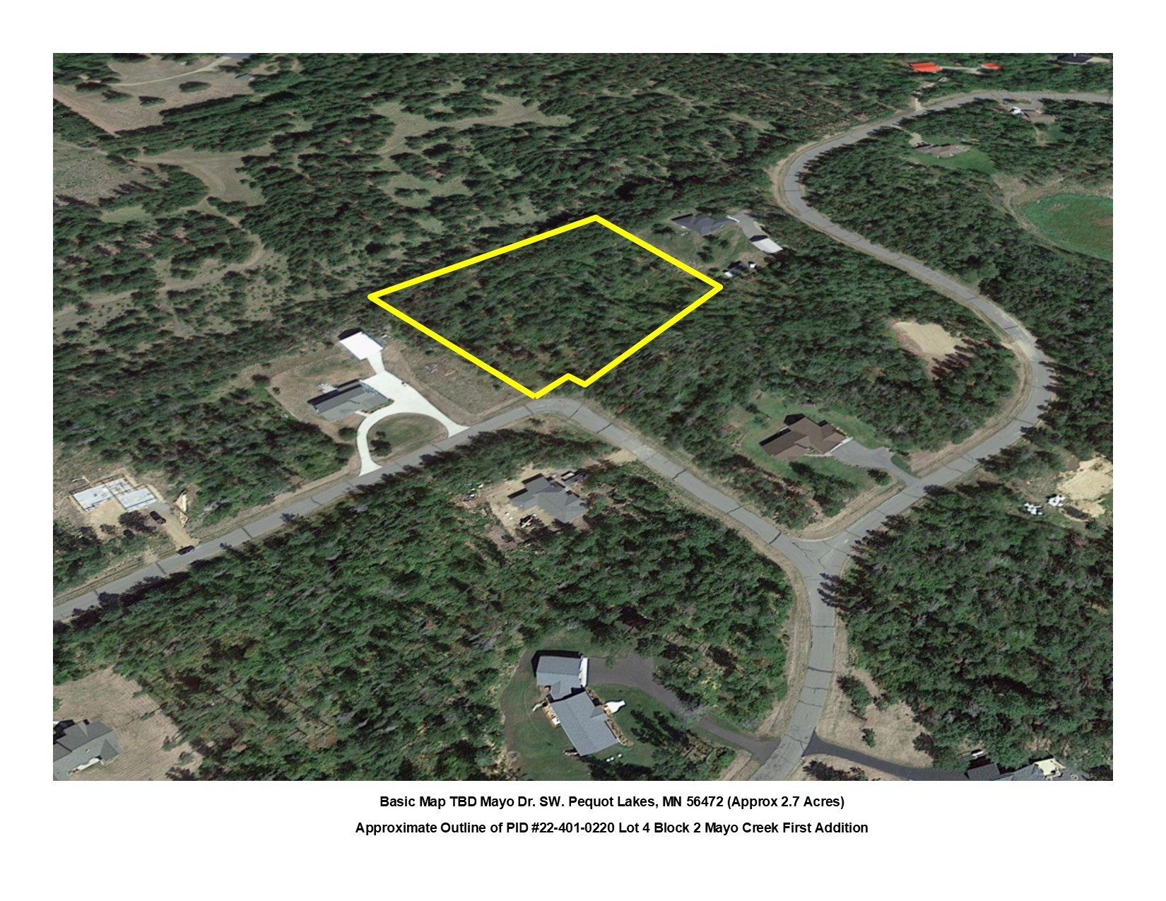
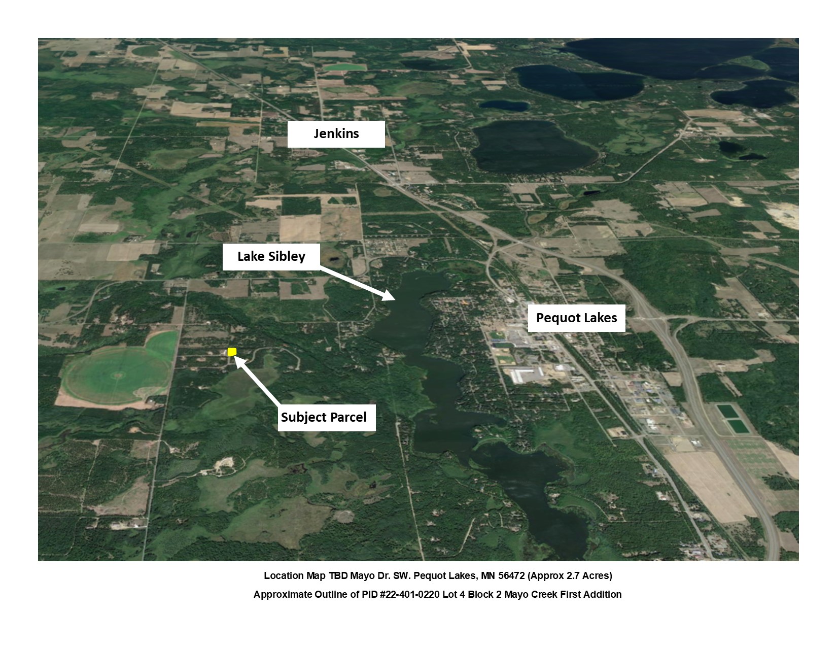
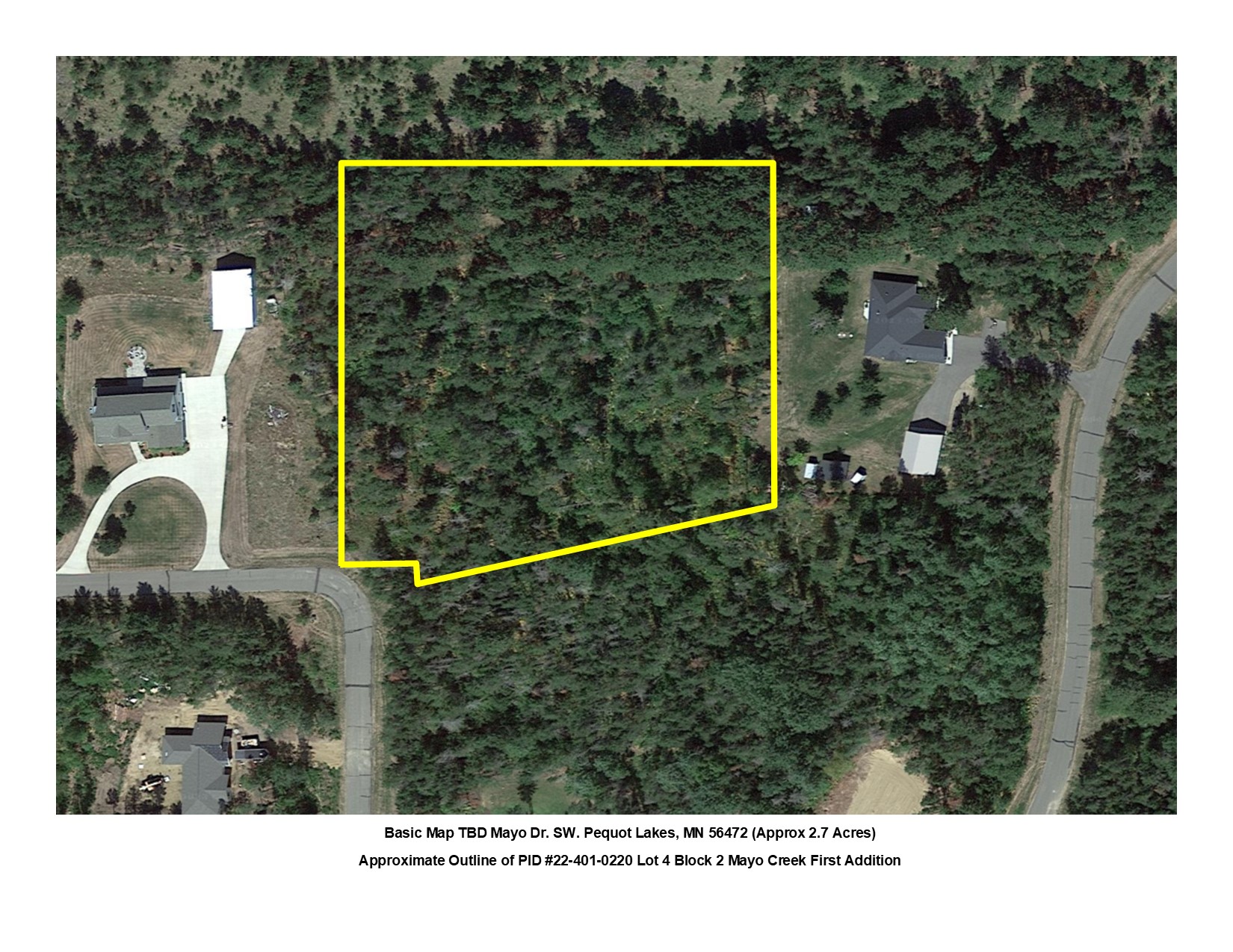
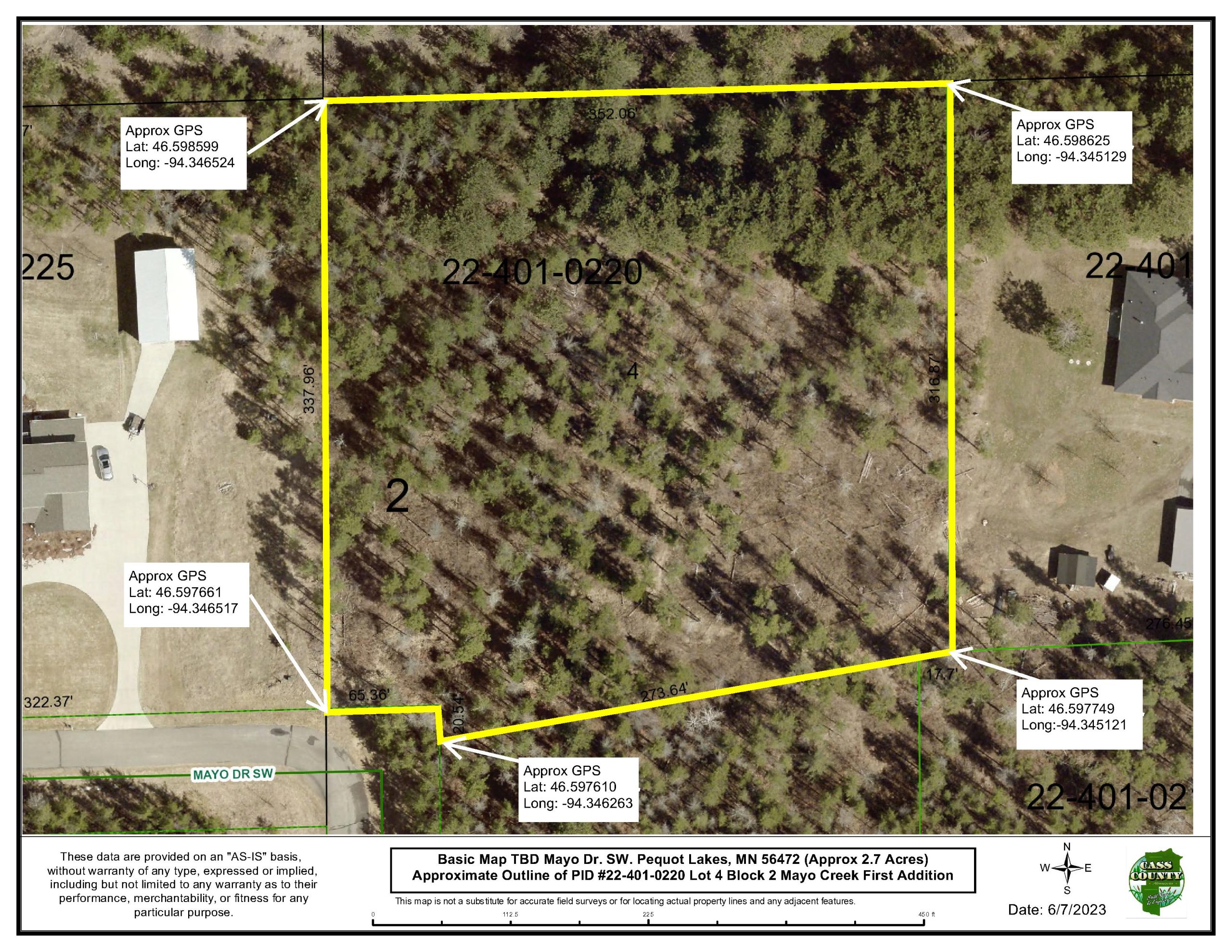
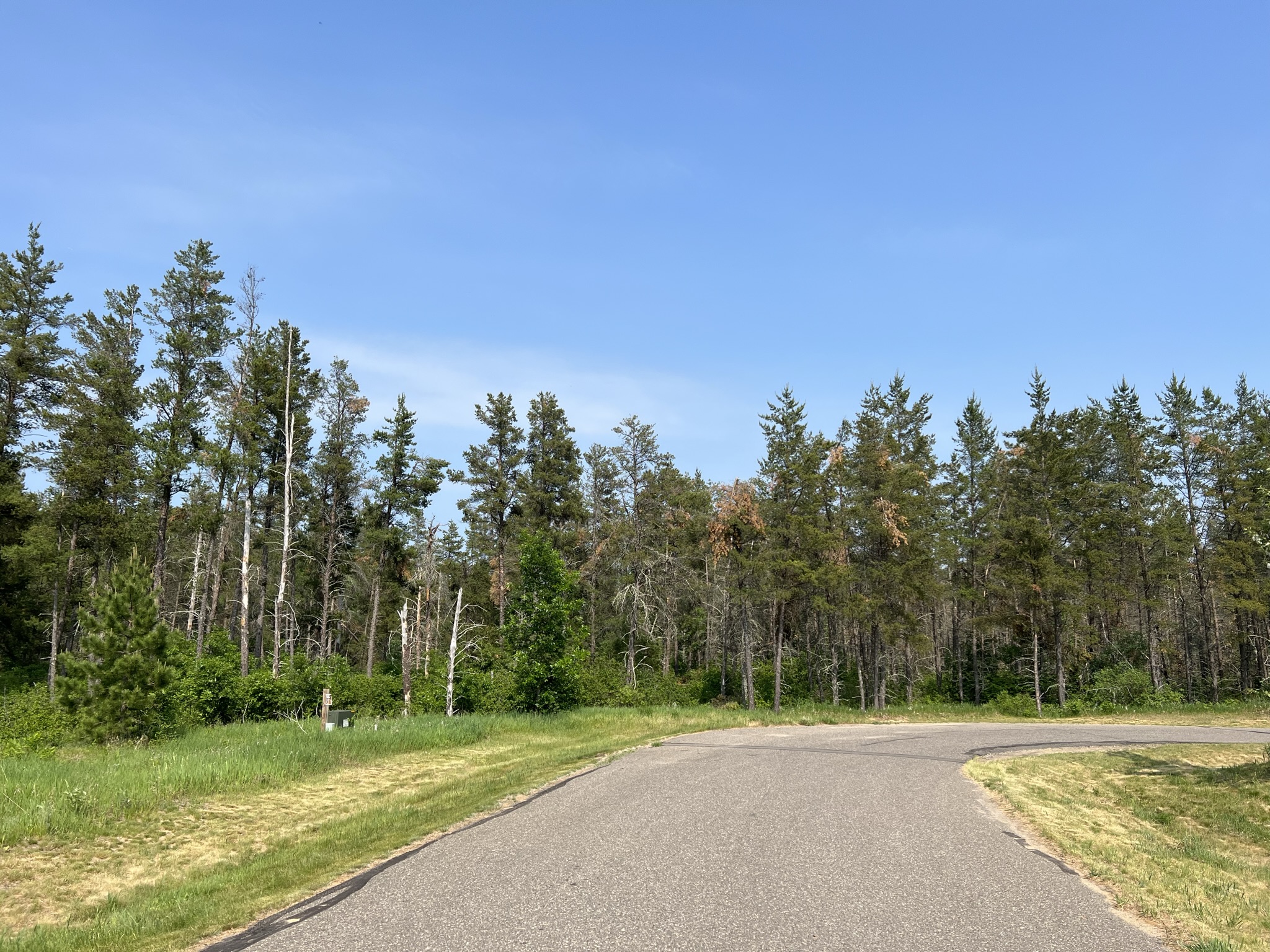
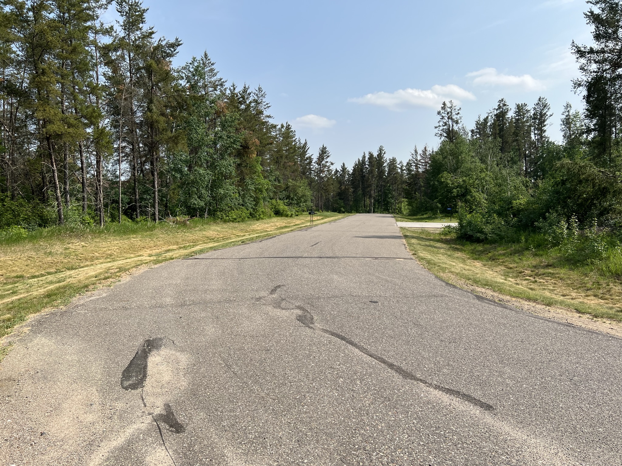
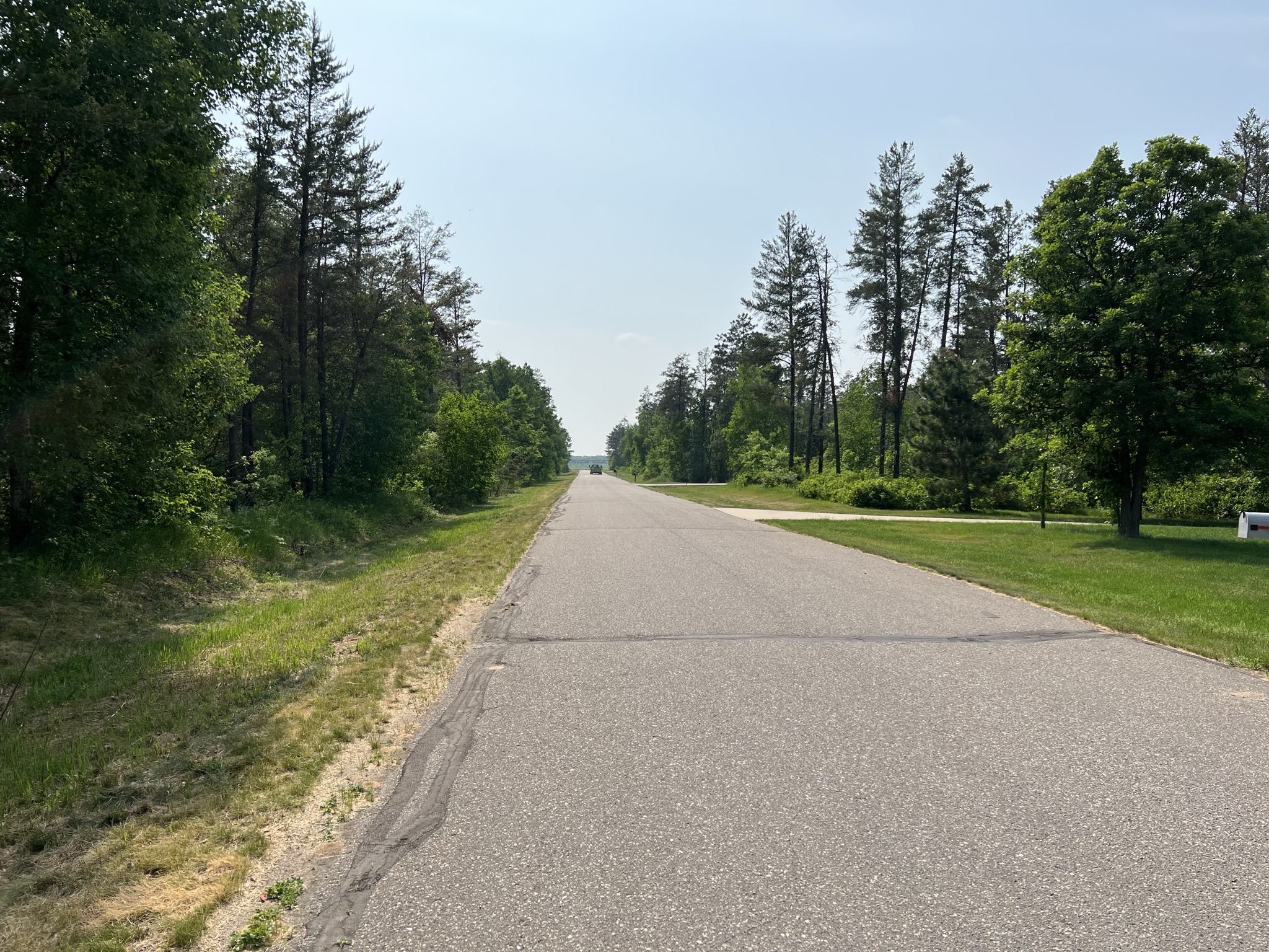
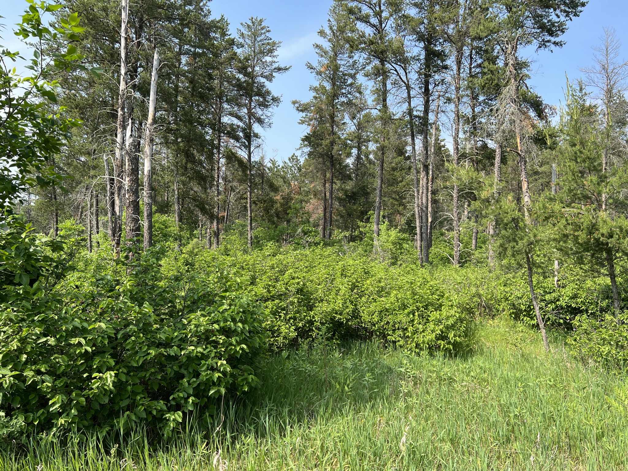
Beautiful building site on a 2.7 acre rural residential lot with a paved road and mature trees consisting of red pine, jack pine, oak and aspen. Country setting only 3.5 miles west of Pequot Lakes. Close to lakes, trails, golf, dining, shopping, schools. This Mayo Creek residential development includes protective covenants to preserve the integrity of the neighborhood.
Main Property Info
Property ID
224010220
224010220
MLS Number
6383351
6383351
Status
Sold
Sold
List Price
$49,000
$49,000
Selling Price
$45,000
$45,000
Acres
2.7
2.7
Zoning
RR 2.5
RR 2.5
City
Pequot Lakes
Pequot Lakes
Township
Loon Lake Twp
Loon Lake Twp
State
MN
MN
Zip Code
56472
56472
County
Cass
Cass
Legal Description
LOT 4, BLK 2, MAYO CREEK FIRST ADDITION, Part of the SENW 16-136-29 Subject to Covenants DOC# A000496908, Wetland Conservation Easement DOC# A000496368 and any restrictions or reservations of record. (Full Legal to Govern. PID# 224010220.)
LOT 4, BLK 2, MAYO CREEK FIRST ADDITION, Part of the SENW 16-136-29 Subject to Covenants DOC# A000496908, Wetland Conservation Easement DOC# A000496368 and any restrictions or reservations of record. (Full Legal to Govern. PID# 224010220.)
Property Location
Directions
From State Hwy 371 & Co Rd 17 intersection on the north edge of Pequot, Go west on Co Rd 17 for 1.9 mi. Turn Left (south) on 13th Ave SW go 0.7 mi. Turn Left (east) on Mayo Dr. SW. Go ¼ Mile to Lot 4, Block 2 on the curve and left side (NE) of the road.
From State Hwy 371 & Co Rd 17 intersection on the north edge of Pequot, Go west on Co Rd 17 for 1.9 mi. Turn Left (south) on 13th Ave SW go 0.7 mi. Turn Left (east) on Mayo Dr. SW. Go ¼ Mile to Lot 4, Block 2 on the curve and left side (NE) of the road.
Access
NE off the corner of Mayo Drive SW.
NE off the corner of Mayo Drive SW.
GPS Coordinates
Coordinates to approximate corners/points based on county mapping: NW:Lat: 46.598599 Long: -94.346524 NE:Lat: 46.598625 Long: -94.345129 SE:Lat: 46.597749 Long:-94.345121 SW:Lat: 46.597661 Long: -94.346517
Coordinates to approximate corners/points based on county mapping: NW:Lat: 46.598599 Long: -94.346524 NE:Lat: 46.598625 Long: -94.345129 SE:Lat: 46.597749 Long:-94.345121 SW:Lat: 46.597661 Long: -94.346517
Address
TBD Mayo Dr. SW. Pequot Lakes
TBD Mayo Dr. SW. Pequot Lakes
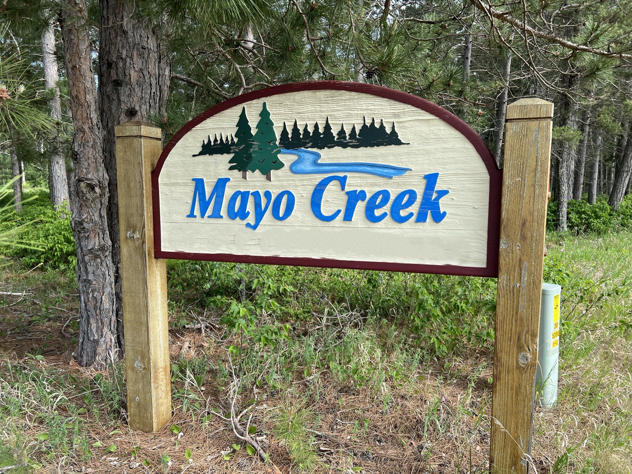
Neighborhood
Mayo Creek
Mayo Creek
School District
Pequot Lakes - 186
Pequot Lakes - 186
Property Details
Wooded Acres
2.5
2.5
Dimensions (approx)
273x337x352x316
273x337x352x316
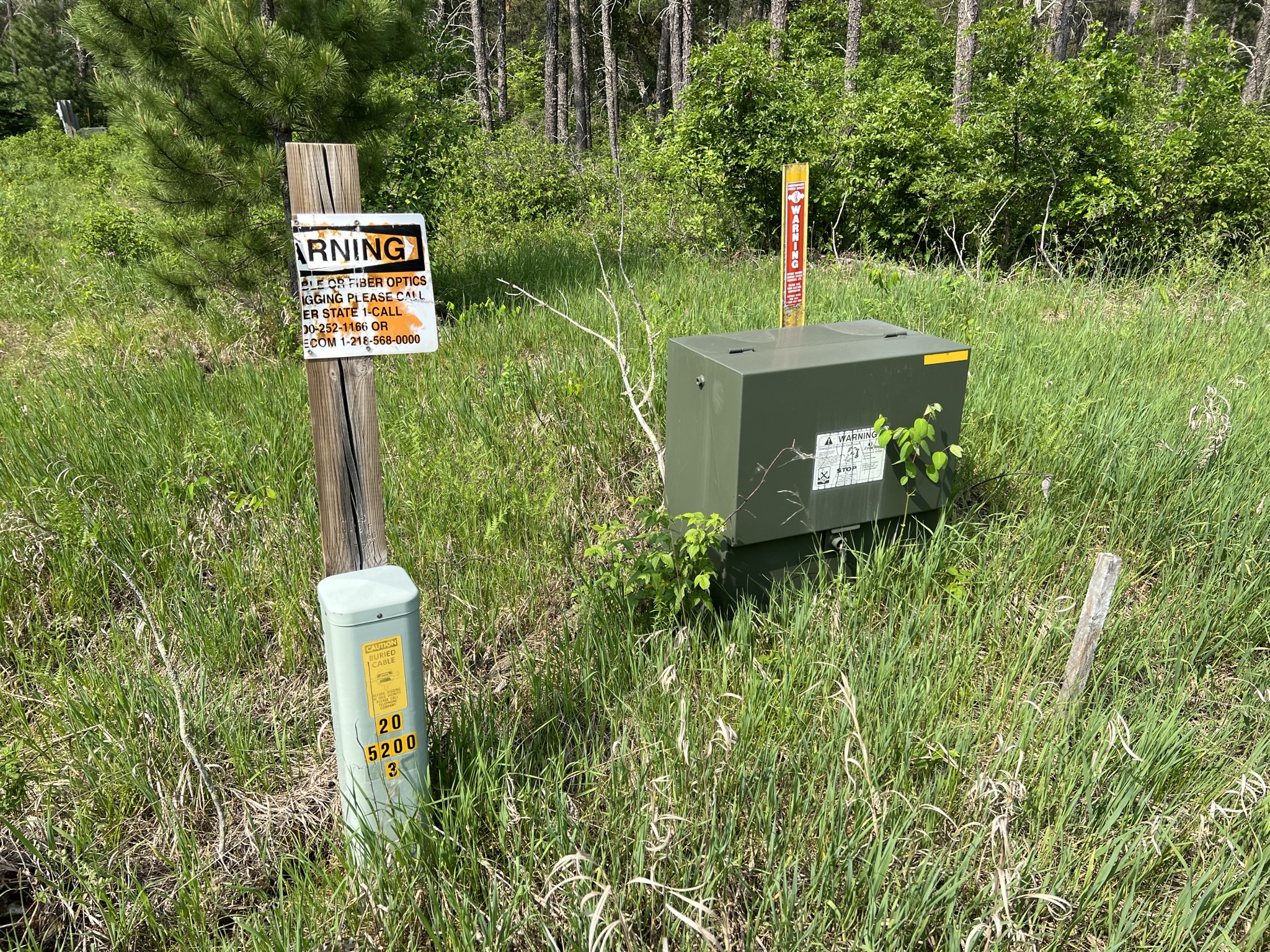
Utilities
Available Utilities
Electric, Fiber Optic, Phone, Internet
Electric, Fiber Optic, Phone, Internet
On Site Utilities
None
None
Power Company
Crow Wing Power (1-800-648-9401)
Crow Wing Power (1-800-648-9401)
Taxes & Fees
Tax Amount
$210
$210
Assessment Amount
0
0
Tax With Assessments
$210
$210
Tax Year
2023
2023
Other Details
Section Number
16
16
Township Number
136
136
Range Number
29
29
Estimated Upland %
99
99
Additional Comments
Timber Comments
Mature trees consisting of red pine, jack pine, oak and aspen.
Mature trees consisting of red pine, jack pine, oak and aspen.
Hunting Comments
Deer Permit Area 246
Deer Permit Area 246
Disclosures
Covenants are provided regarding uses and construction. (See DOC# A000496908) A Wetland Easement affects this property. (See DOC# A000496368) Acreage, dimensions, and taxes estimated based on county data and mapping or seller data; county disclaimers included by reference. Photos/maps and GPS coordinates for convenience only and not guaranteed; physically inspect prior to purchase.
Covenants are provided regarding uses and construction. (See DOC# A000496908) A Wetland Easement affects this property. (See DOC# A000496368) Acreage, dimensions, and taxes estimated based on county data and mapping or seller data; county disclaimers included by reference. Photos/maps and GPS coordinates for convenience only and not guaranteed; physically inspect prior to purchase.