

MLS Number : 6087127
Sold $45,000 - Home & Cabin Sites
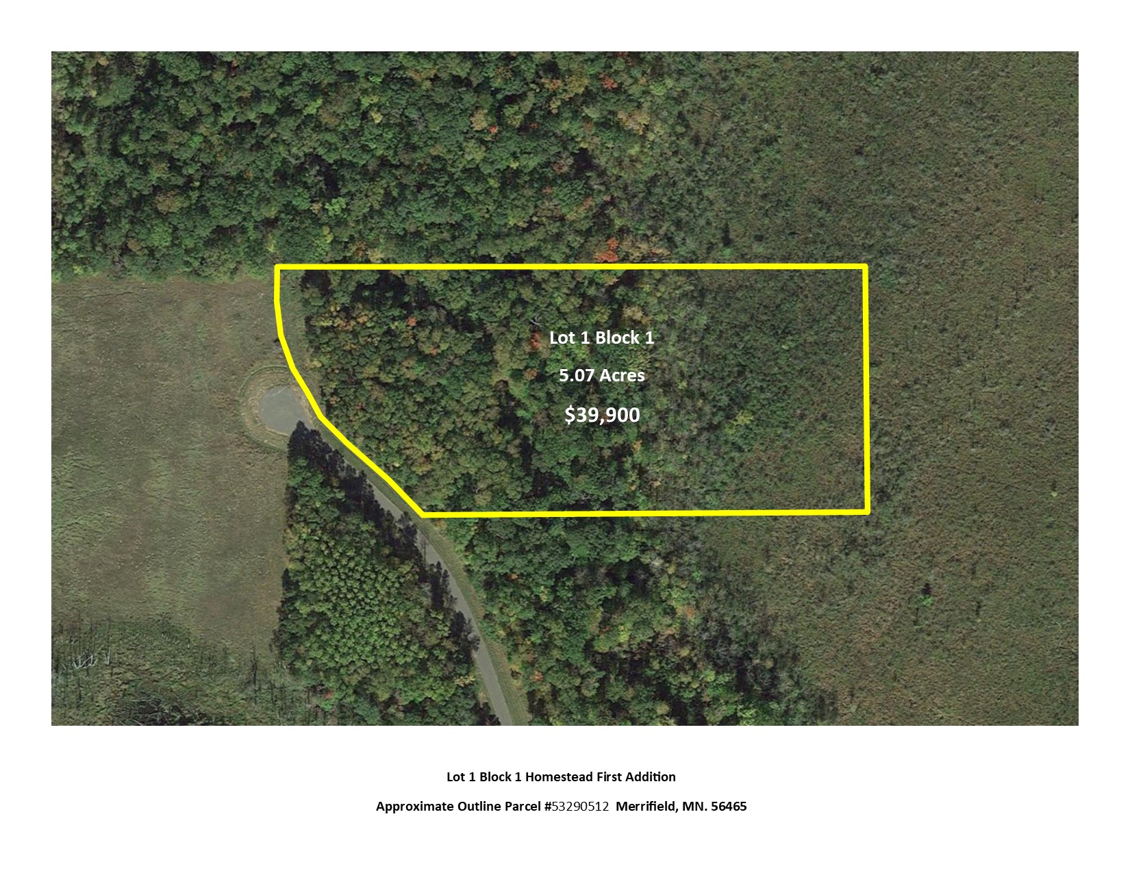
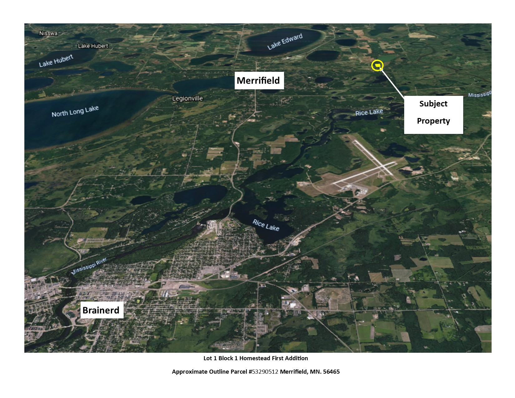
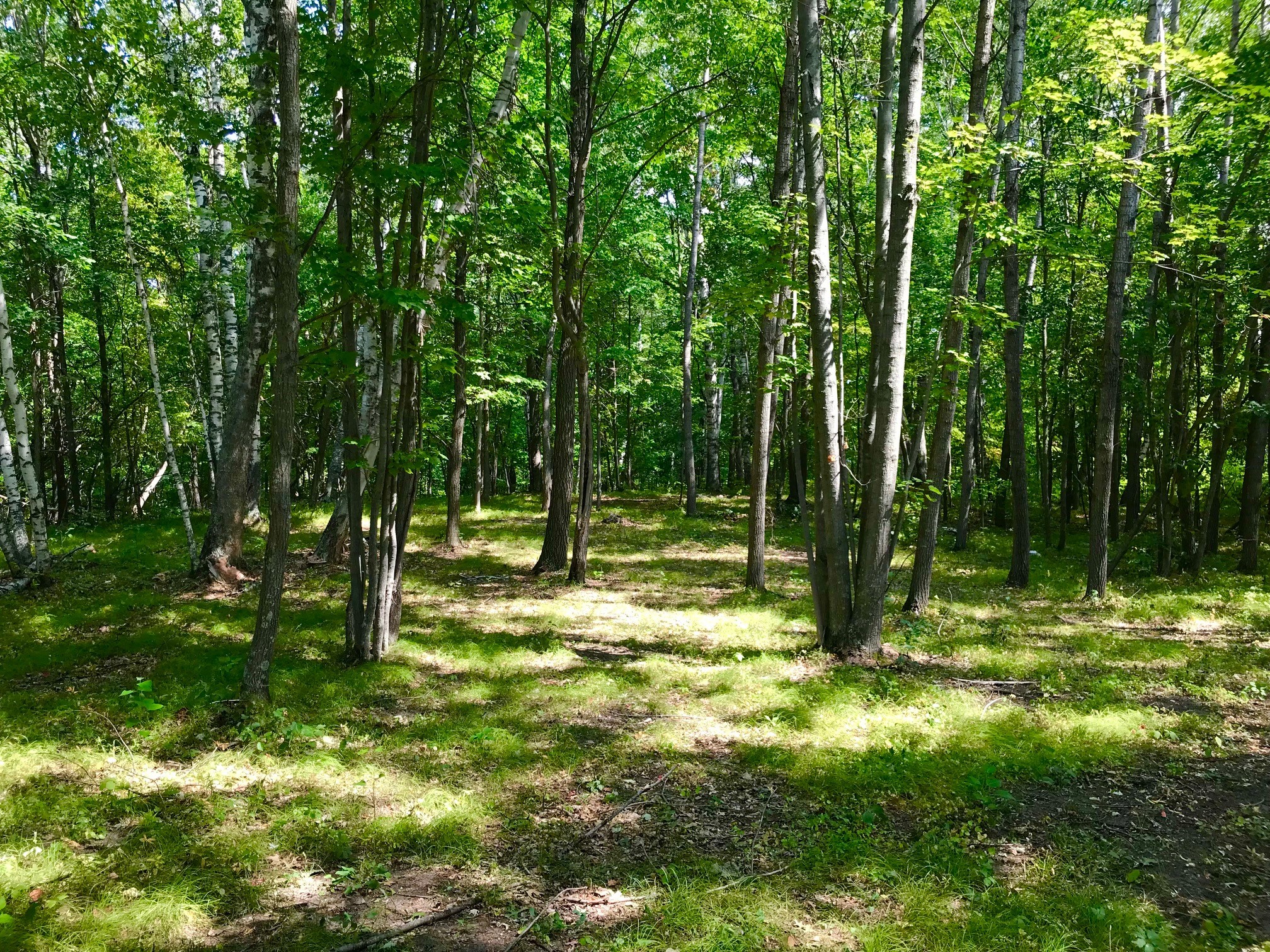
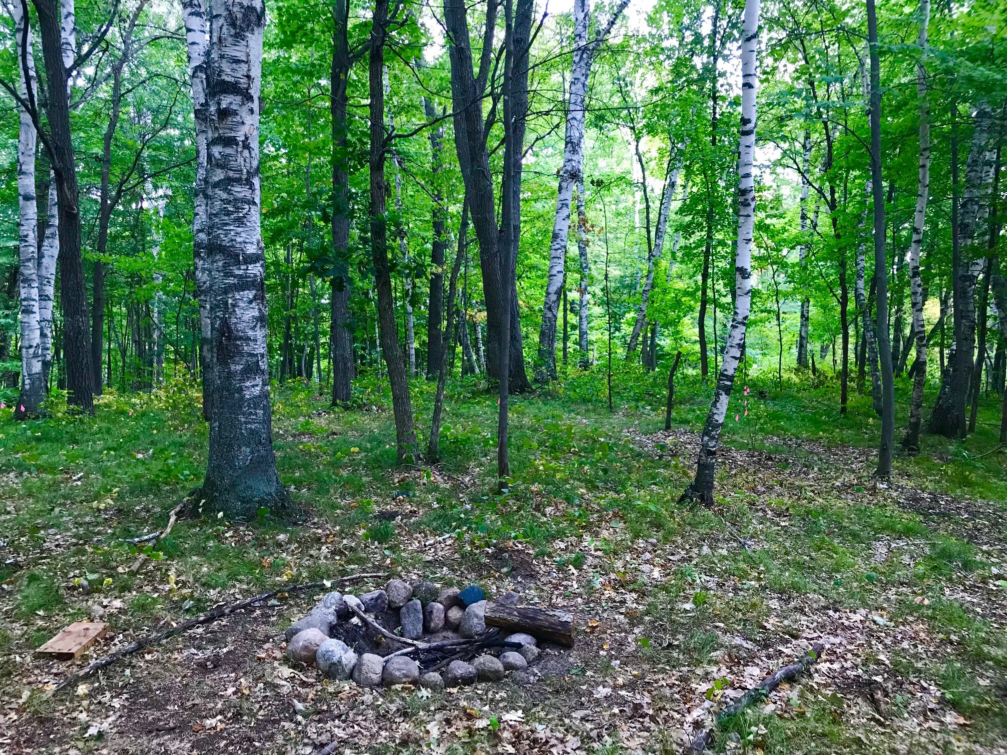
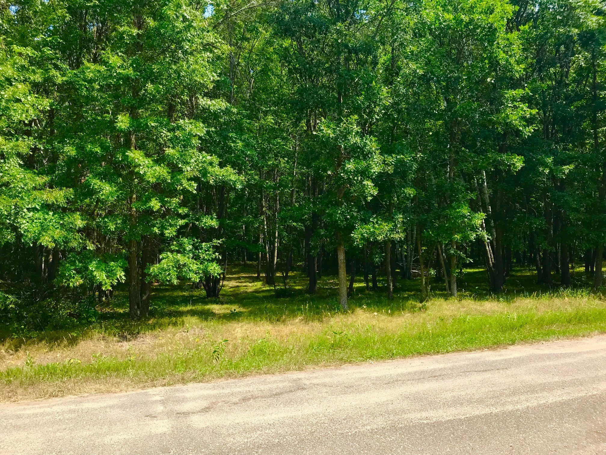
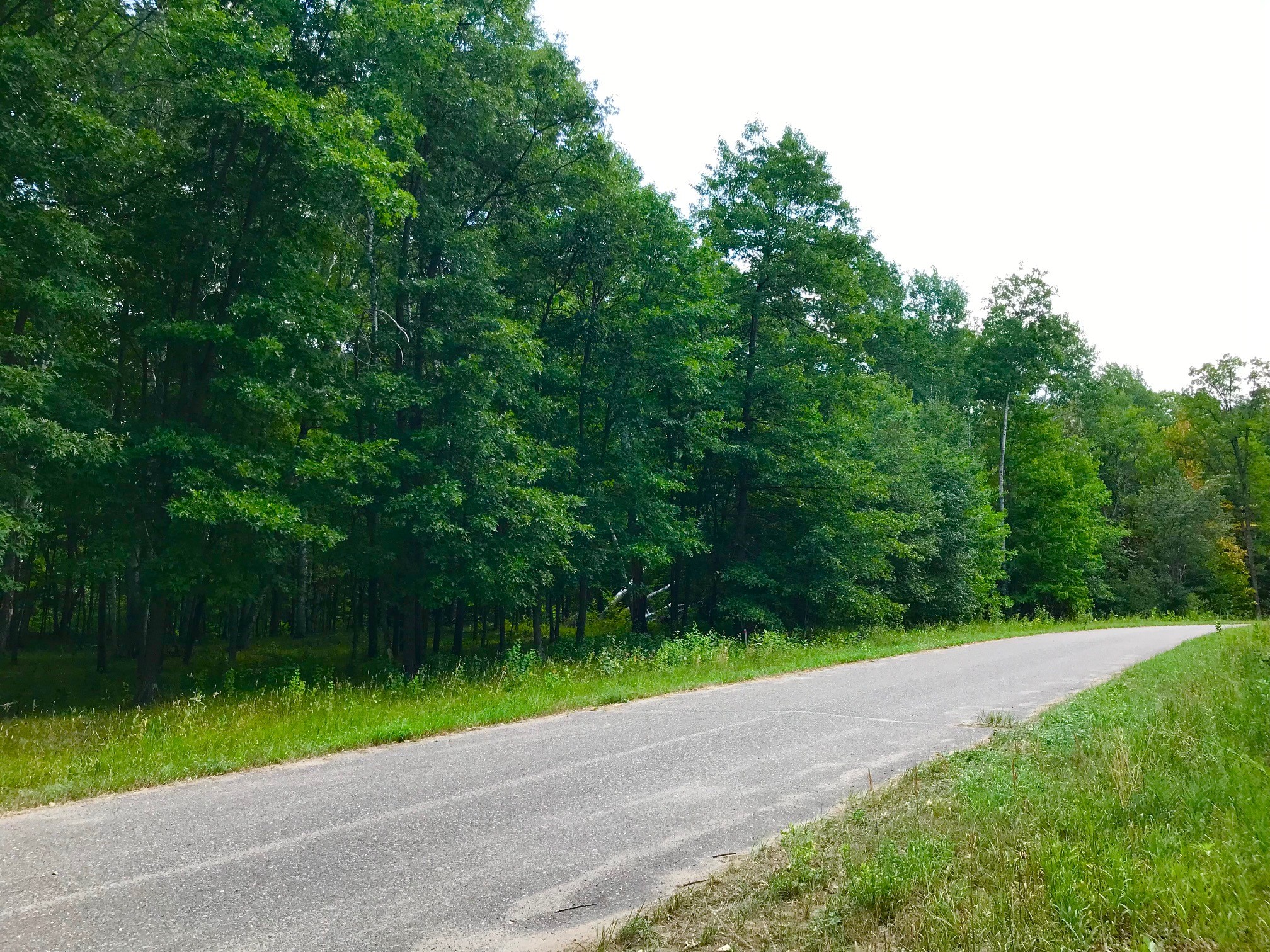
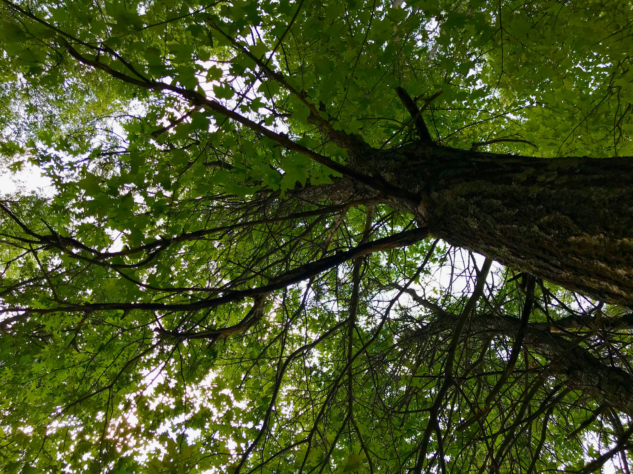
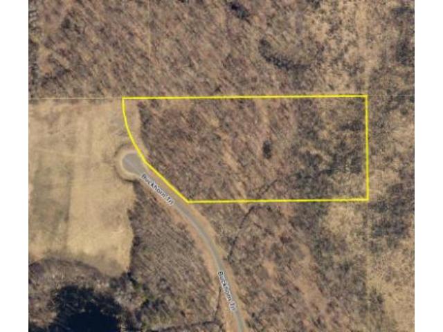
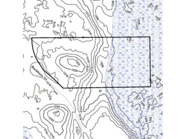
Enjoy country living in the Homestead neighborhood close to all the Brainerd Lakes Area amenities. Generously-sized lot at the end of a cul-de-sac features gently-rolling topo with open and wooded areas consisting of Oak, Maple, Aspen and Pine. Only a short drive to Lake Edward, North Long Lake, Gull Lake, Pelican Lake, and the Mississippi River for fishing and water recreation. Area is saturated with trails for walking, biking, hiking, four-wheeling, and snowmobiling. This parcel adjoins nearly 70 acres of conservation owned land to the east. See plat for exact dimensions.
Main Property Info
Property ID
531260010010009
531260010010009
MLS Number
6087127
6087127
Status
Sold
Sold
List Price
$39,900
$39,900
Selling Price
$45,000
$45,000
Acres
5.07
5.07
Zoning
Rural Residential 2.5
Rural Residential 2.5
City
Merrifield
Merrifield
Township
Center Twp
Center Twp
State
MN
MN
Zip Code
56465
56465
County
Crow Wing
Crow Wing
Legal Description
Lot 1, Block 1, HOMESTEAD FIRST ADDITION, 29-135-27. Subject to Buckhorn Trl; Declaration of Covenants, Easements, and Restrictions in Doc# 0698041; and any other easements, restrictions, or reservations of record.
Lot 1, Block 1, HOMESTEAD FIRST ADDITION, 29-135-27. Subject to Buckhorn Trl; Declaration of Covenants, Easements, and Restrictions in Doc# 0698041; and any other easements, restrictions, or reservations of record.
Property Location
Directions
From Brainerd, N on CR3 for 9 mi. Right on Sorenson Lake Rd 1 1/4 mi. Left on Rebel Rd 1 mi. Right on Settler Trail 1/2 mi. Right on Buckhorn Trl 1/2 mi prop @ end of cul-de-sac on the right.
From Brainerd, N on CR3 for 9 mi. Right on Sorenson Lake Rd 1 1/4 mi. Left on Rebel Rd 1 mi. Right on Settler Trail 1/2 mi. Right on Buckhorn Trl 1/2 mi prop @ end of cul-de-sac on the right.
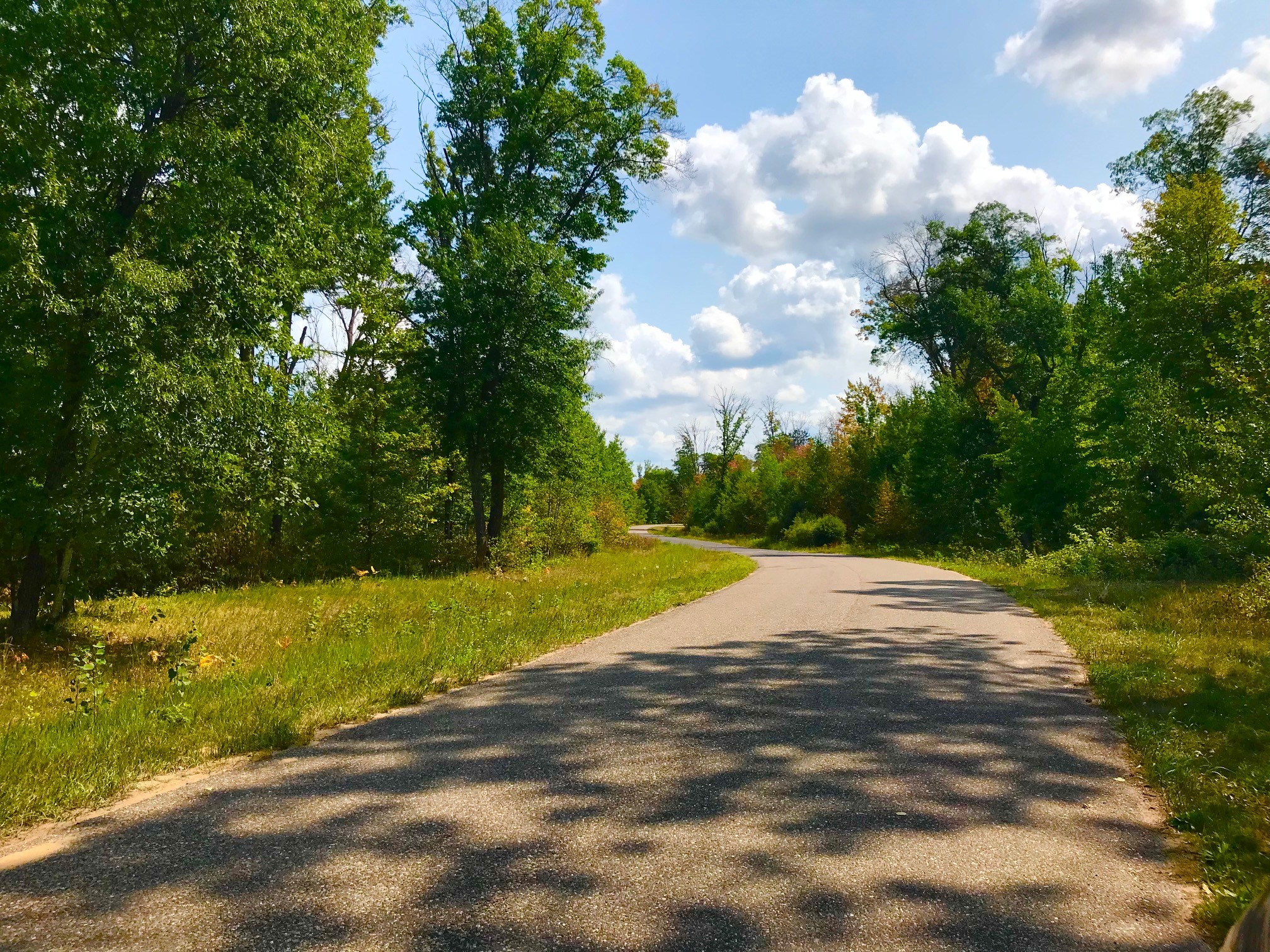
Access
The lot is located at the cul-de-sac end of paved Buckhorn Trl.
The lot is located at the cul-de-sac end of paved Buckhorn Trl.
GPS Coordinates
Coordinates to approximate corners/points based on county mapping: SW corner along Buckhorn Trl = 46.4777, -94.1176; NW corner = 46.4786, -94.1183; NE corner = 46.4786, -94.1152; SE corner = 46.4777, -94.1154
Coordinates to approximate corners/points based on county mapping: SW corner along Buckhorn Trl = 46.4777, -94.1176; NW corner = 46.4786, -94.1183; NE corner = 46.4786, -94.1152; SE corner = 46.4777, -94.1154
Address
L1B1 Buckhorn Trail
L1B1 Buckhorn Trail
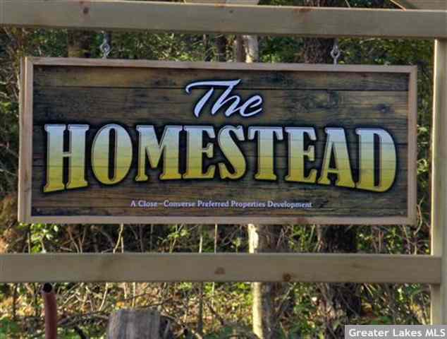
Neighborhood
Homestead
Homestead
School District
Brainerd - 181
Brainerd - 181
Property Details
Wooded Acres
3
3
Dimensions (approx)
391x319x749x555
391x319x749x555
Utilities
Available Utilities
Electric, Telephone, Fiber Optic
Electric, Telephone, Fiber Optic
On Site Utilities
None
None
Power Company
Crow Wing Power (1-800-648-9401)
Crow Wing Power (1-800-648-9401)
Taxes & Fees
Association Fee
$0
$0
Tax Amount
$179
$179
Assessment Amount
511
511
Tax With Assessments
$690
$690
Assessment Description
road improvements (see Disclosures for details)
road improvements (see Disclosures for details)
Tax Year
2021
2021
Other Details
Section Number
29
29
Township Number
135
135
Range Number
27
27
Estimated Upland %
60
60
Estimated Wetland %
40
40
Additional Comments
Timber Comments
Oak, Maple, Aspen & Pine
Oak, Maple, Aspen & Pine
Disclosures
Pt of the prop is w/in a 2015 proposed FEMA flood plain area. Adjoining Outlot B used for access by adj prop owner to north. (Existing neighbor's driveway appears to slightly encroach that NW corner off of Outlot B). Subj to spec assessments of $510.86/yr for rd improvements ($122/yr thru 2031 for Rebel Rd/Sorenson Rd paving + $388.86/yr thru 2030 for Settler Trl/Buckhorn Trl paving). Zoned RR2.5. See plat for exact dimensions. Registered subdivided land subj to covenants & easements, restrictions, reservations of rec. Photos/maps not guaranteed; inspect before purchase.
Pt of the prop is w/in a 2015 proposed FEMA flood plain area. Adjoining Outlot B used for access by adj prop owner to north. (Existing neighbor's driveway appears to slightly encroach that NW corner off of Outlot B). Subj to spec assessments of $510.86/yr for rd improvements ($122/yr thru 2031 for Rebel Rd/Sorenson Rd paving + $388.86/yr thru 2030 for Settler Trl/Buckhorn Trl paving). Zoned RR2.5. See plat for exact dimensions. Registered subdivided land subj to covenants & easements, restrictions, reservations of rec. Photos/maps not guaranteed; inspect before purchase.

