


MLS Number : 6135529
Sold $135,000 - Home & Cabin Sites, Hunting & Recreation
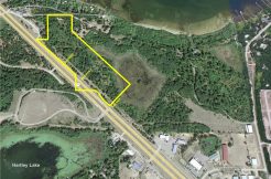
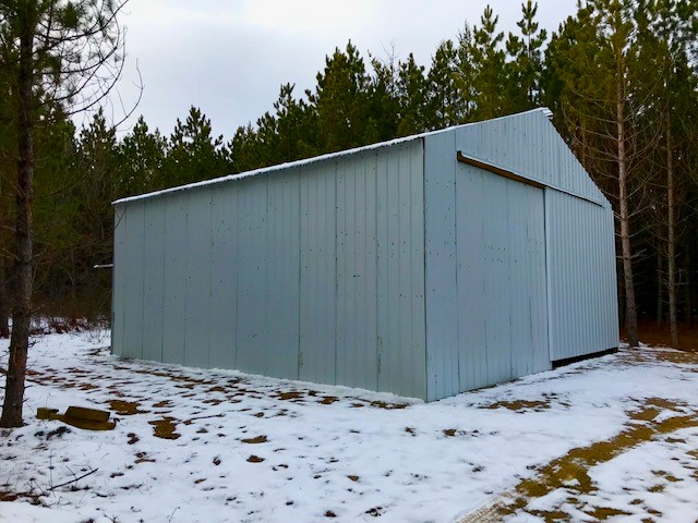
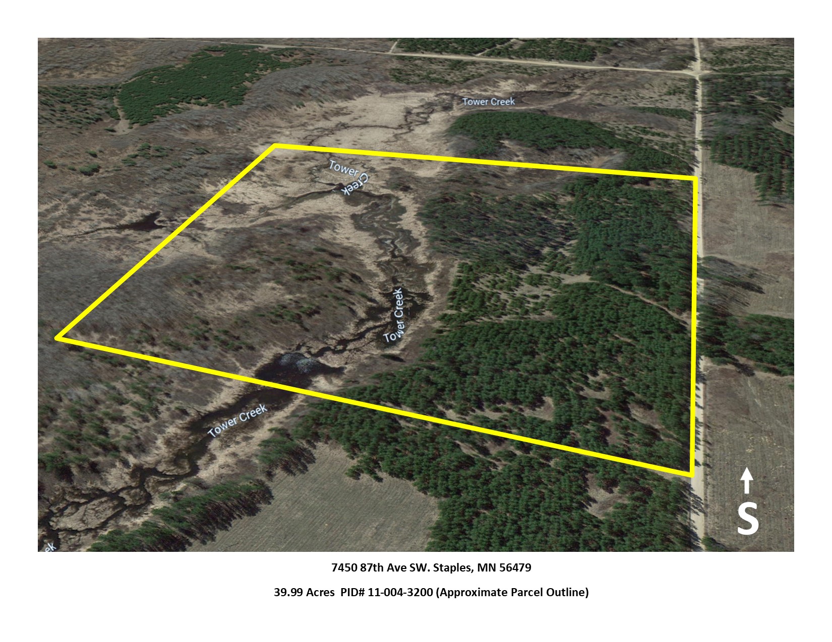
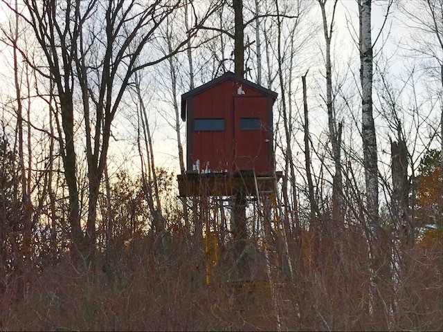
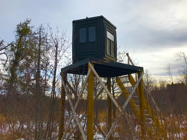
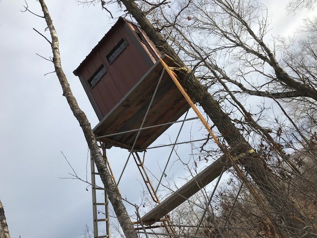
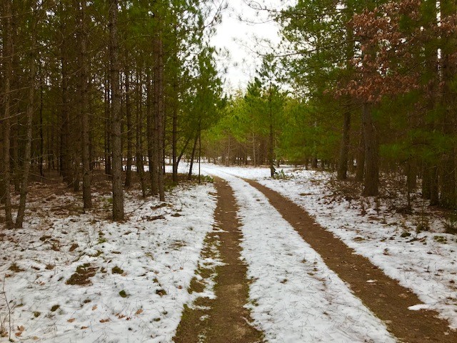
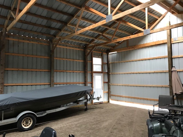
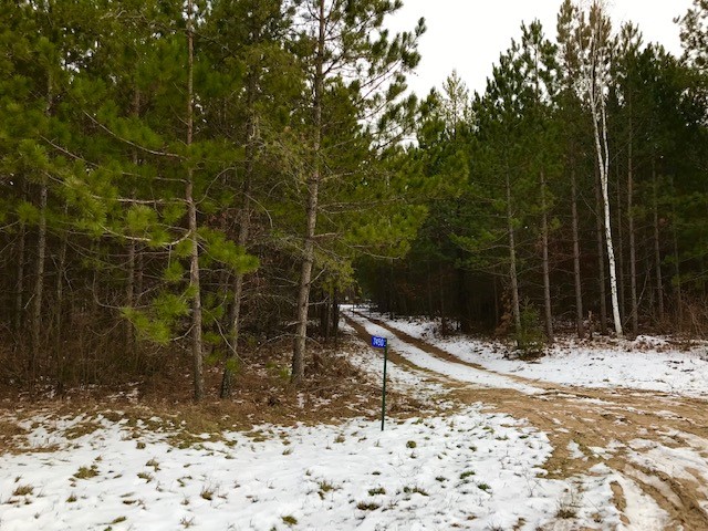
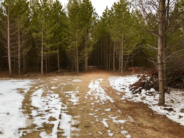
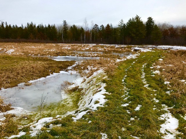
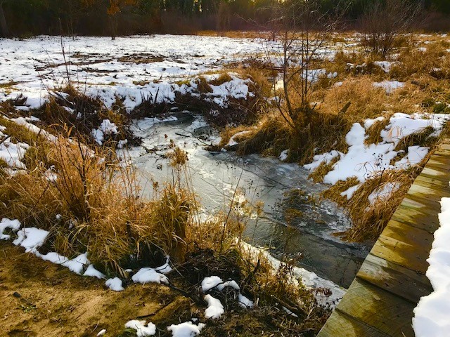
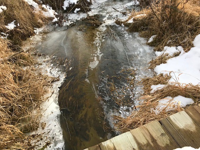
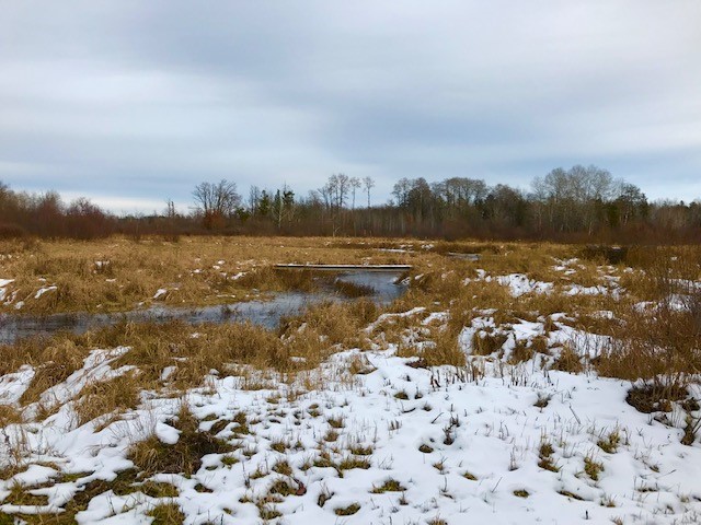
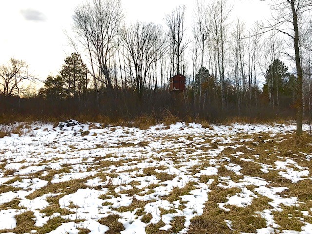
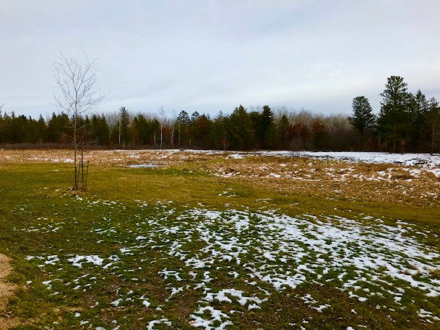
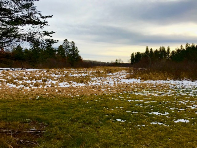
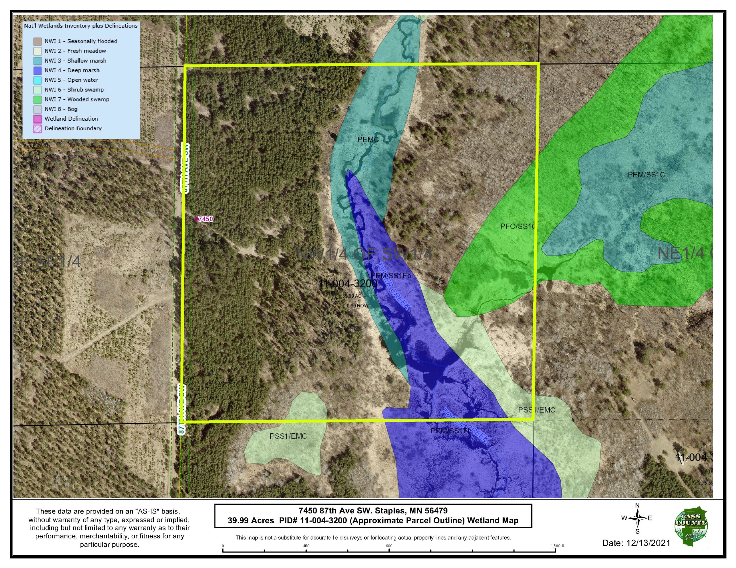
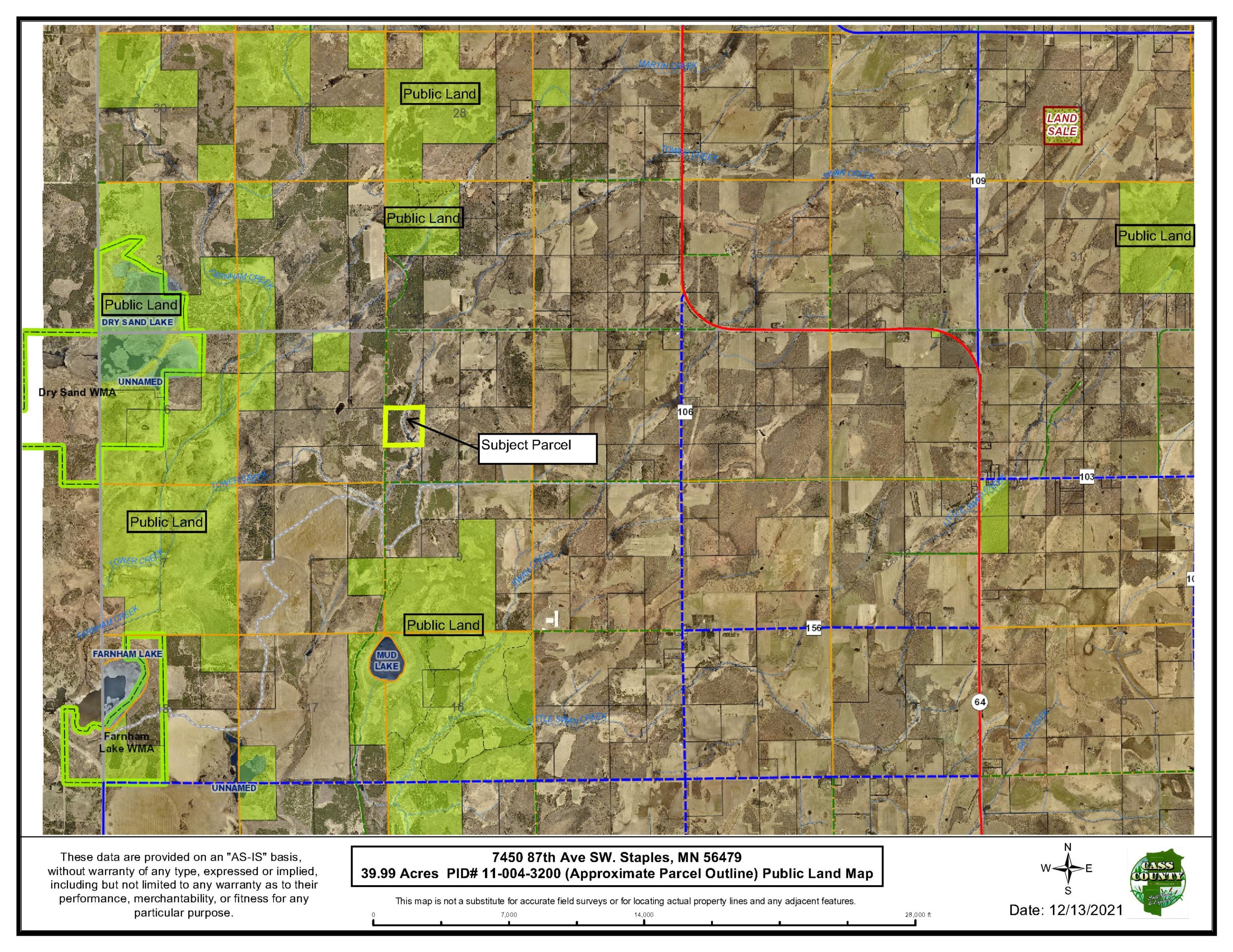
Great access on a public maintained road, this 40 acre parcel awaits your next hunting/recreation adventure! High ground with mature Red Pine and Jack Pine, lower ground wetland with Tower Creek running through and a mix of Aspen… all the ingredients for outstanding whitetail deer, bear, turkey, small game and waterfowl habitat. Parcel includes 30’x 32′ pole shop & 2 permanent deer stands with prep areas for future food plot. Nicely cut trails throughout the property including access to the east side via a trail bridge over the creek. Just north of Motley and a short drive to two wildlife management areas (Dry Sand Lake & Farnham Lake), this tract is less than 3 miles from paved Hwy 64. Potential for cabin/homesite all within the Staples/Motley school district.
Main Property Info
110043200
6135529
Sold
$145,000
$135,000
39.99
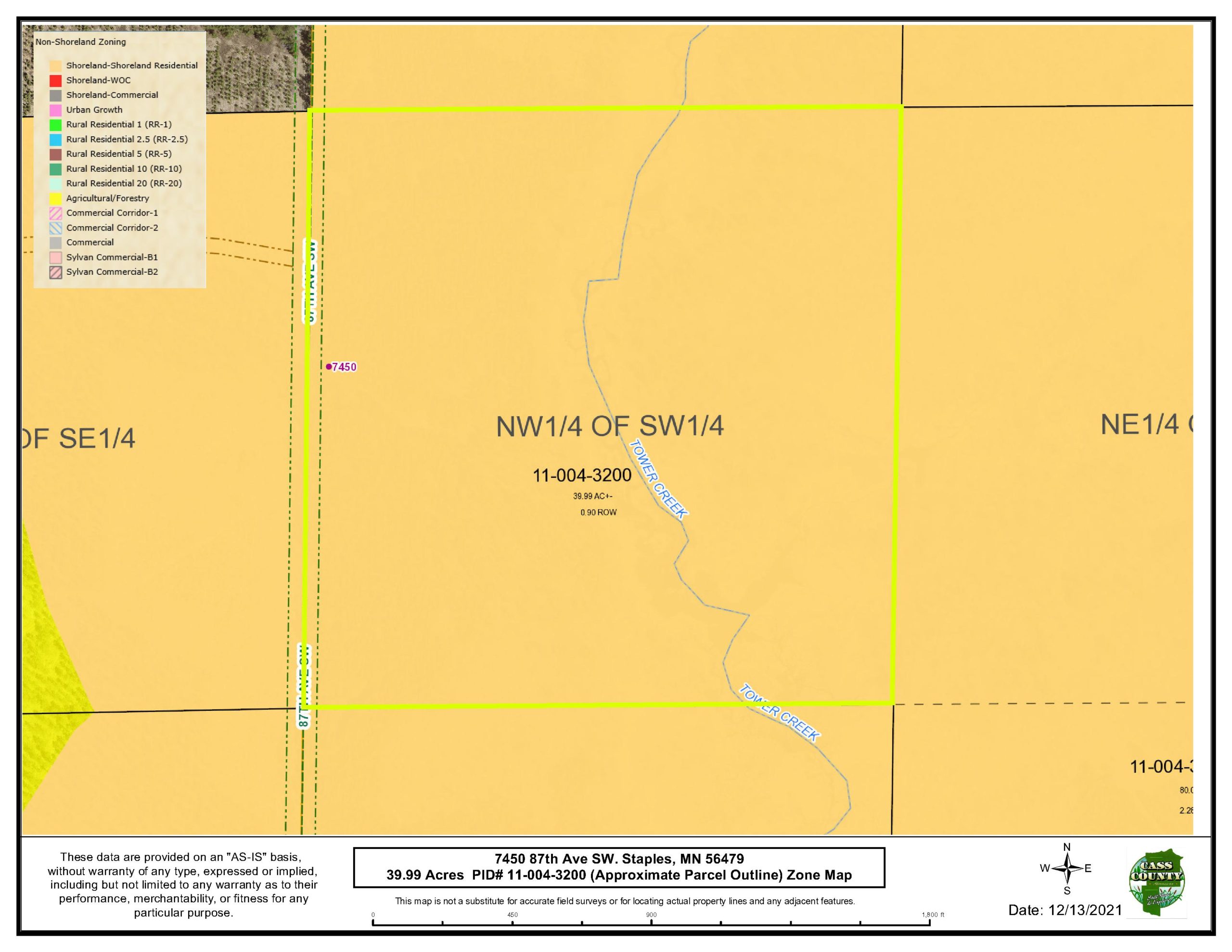
Shoreland Residential
Motley, Staples
Byron Twp
MN
56479
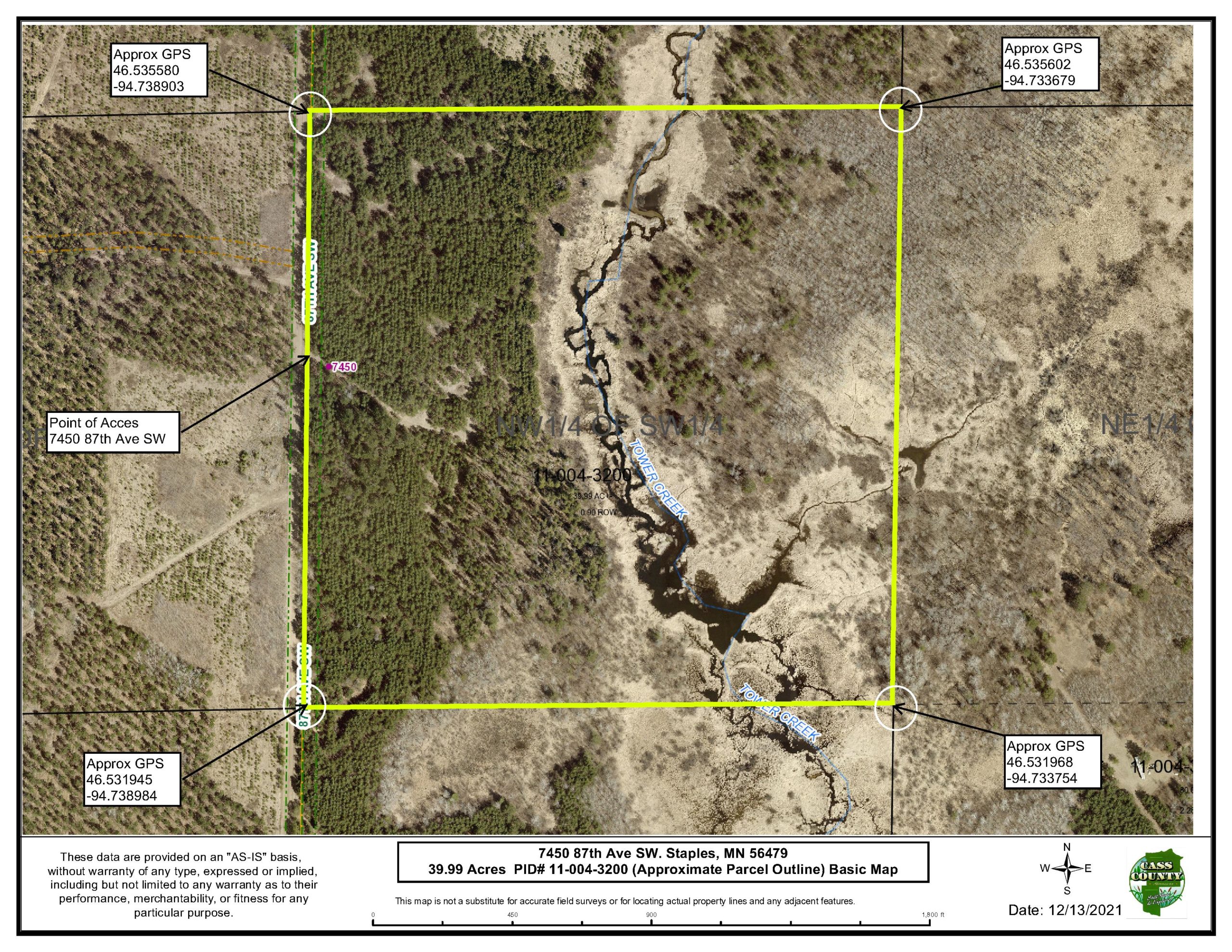
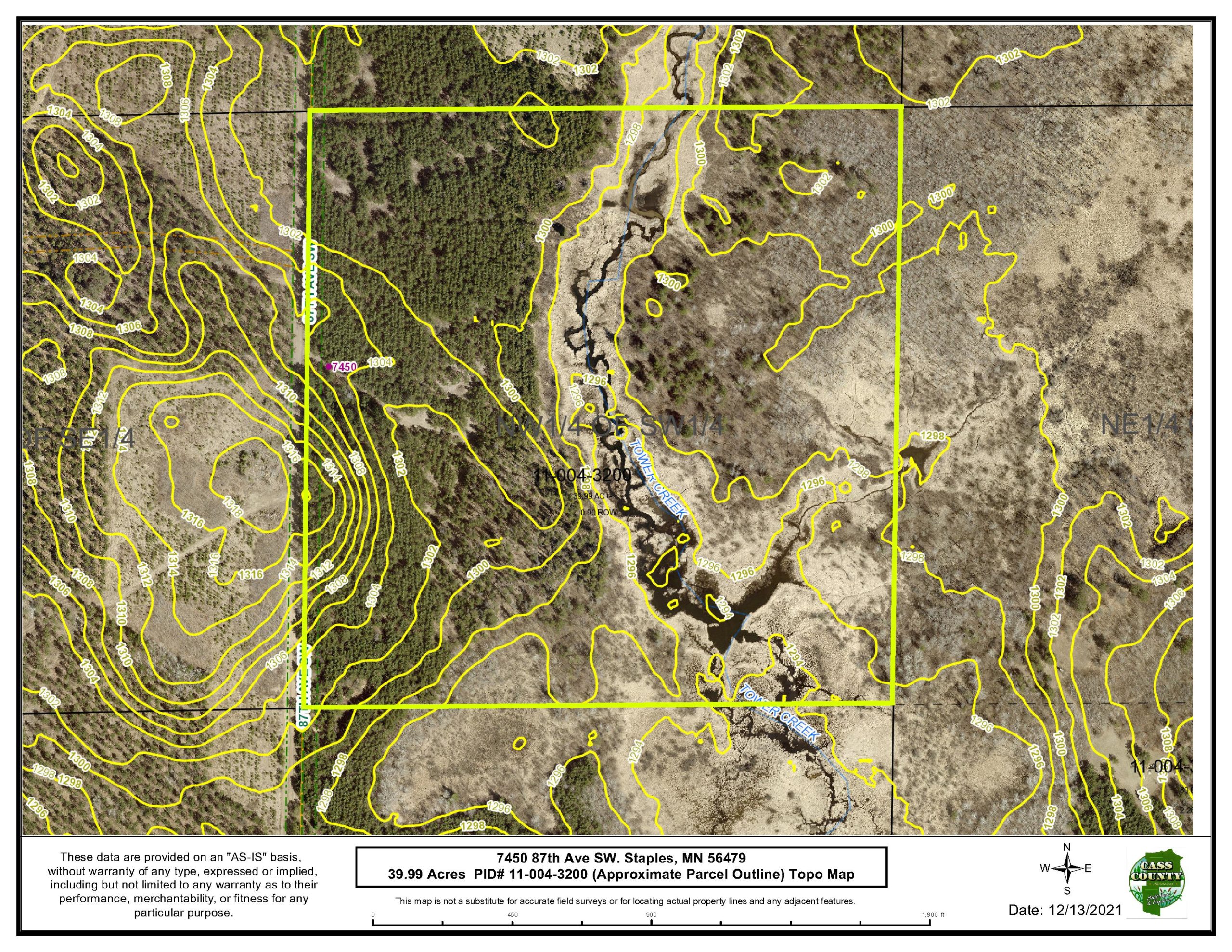
Cass
NWSW 04-135-32, Cass County, Minnesota. Subject to 87th Ave SW, Tower Creek/ditch and any easements, restrictions and reservations of record.
Property Location
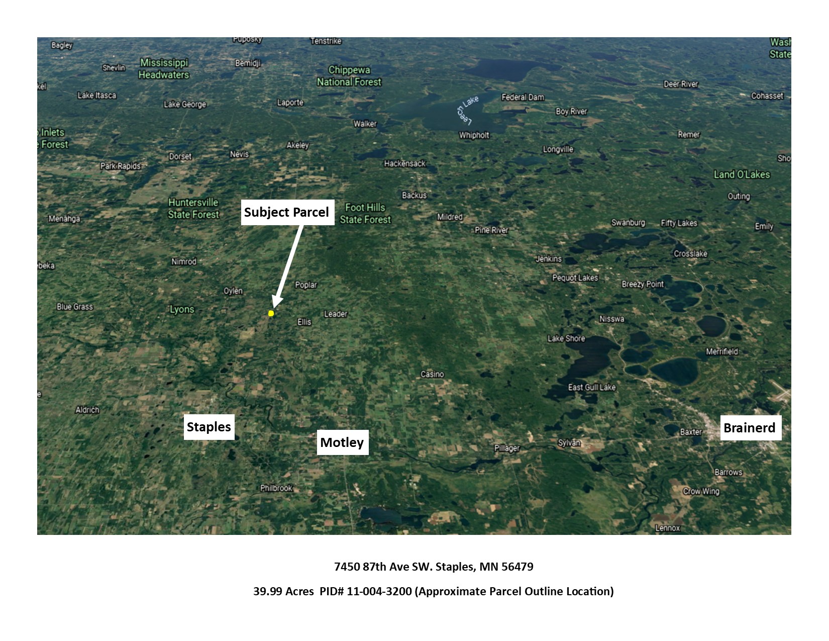
From the intersection of State Hwy 210 and State Hwy 64 in Motley, go north on State Hwy 64 15.5 miles. Turn left (W) on 72nd St. SW and go 2.2 miles. Turn left (S) on 87th Ave. SW and go 0.6 miles to access point on left (E). 7450 87th Ave. SW, Staples, MN 56479
7450 87th Ave. SW, Staples, MN 56479
Coordinates to approximate corners/points based on county mapping: NW: 46.535580, -94.738903 NE: 46.535602, -94.733679 SE: 46.531968, -94.733754 SW: 46.531945, -94.738984
7450 87th Ave. SW, Staples, MN 56479
Staples-Motley - 2170
Property Details
0
28
1320 x 1320 x 1320 x 1320
Utilities
Electric, phone in the area but none on site.
None
Todd-Wadena Electric (1-800-320-8932)
Waterfront
Tower Creek
N/A
1320
N/A
Taxes & Fees
No
$0
N/A
$282
0
$282
No
N/A
2021
Other Details
04
135
32
80
20
Additional Comments
Red Pine 26 yrs, Jack Pine 59 yrs, Aspen 13-35 yrs.
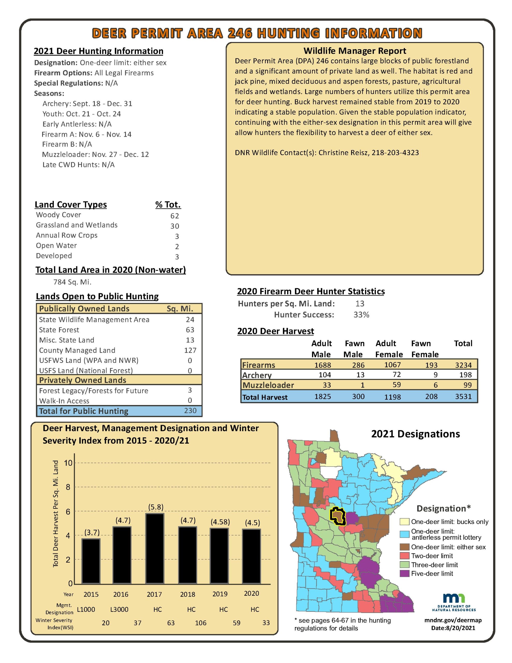
Deer Permit Area: #246.
Tower Creek/County ditch is classified as “Altered Public Waters”. This property is in an unmapped FEMA area, but the creek could be subject to seasonal flooding. Acreage, dimensions, and taxes estimated based on county data and mapping or seller data; county disclaimers included by reference; subject to split approval if necessary. Not surveyed. Photos/maps and GPS coordinates for convenience only and not guaranteed; physically inspect prior to purchase.
Additional Details
145000