

MLS Number : 4819002
Sold $290,000 - Hunting & Recreation
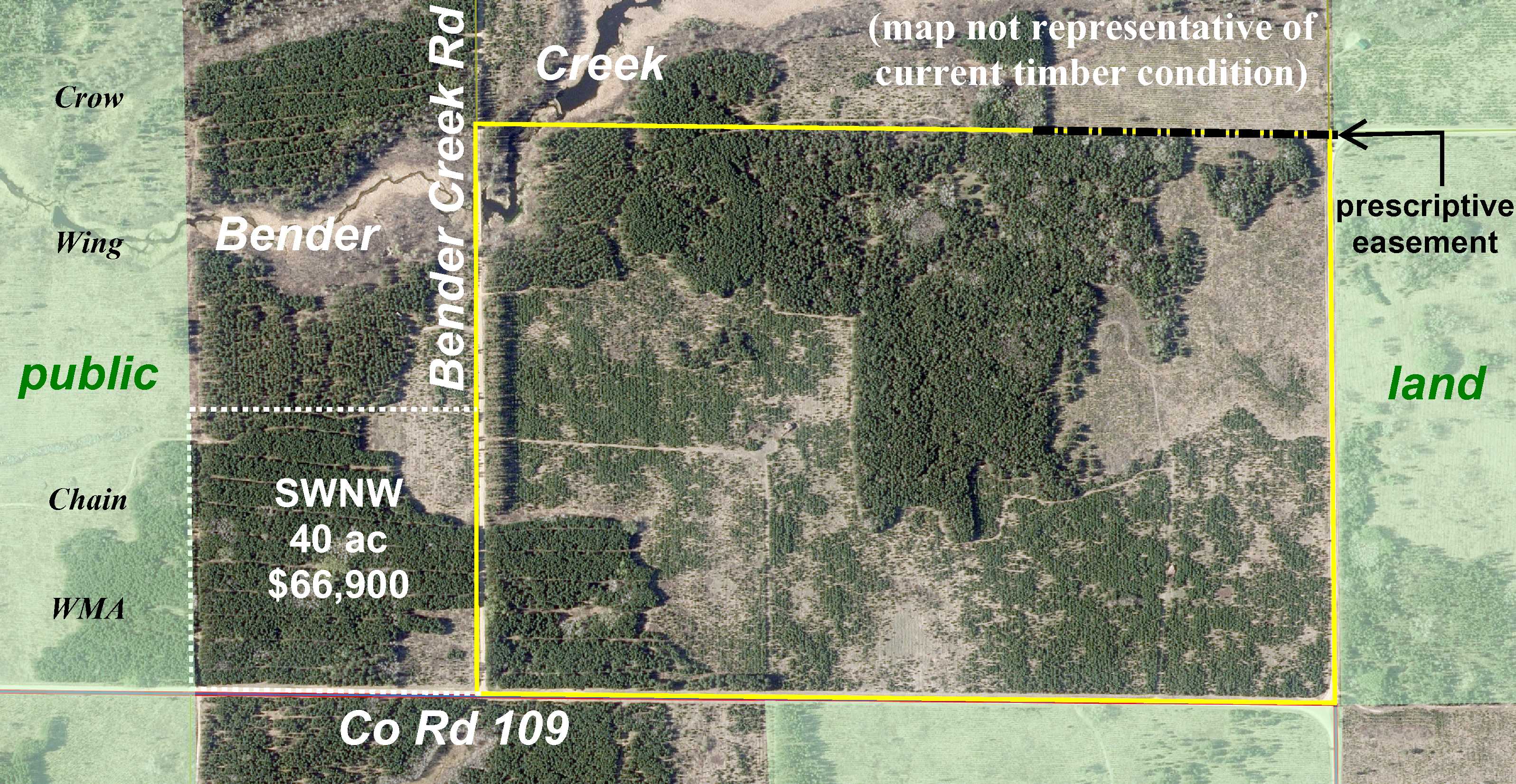
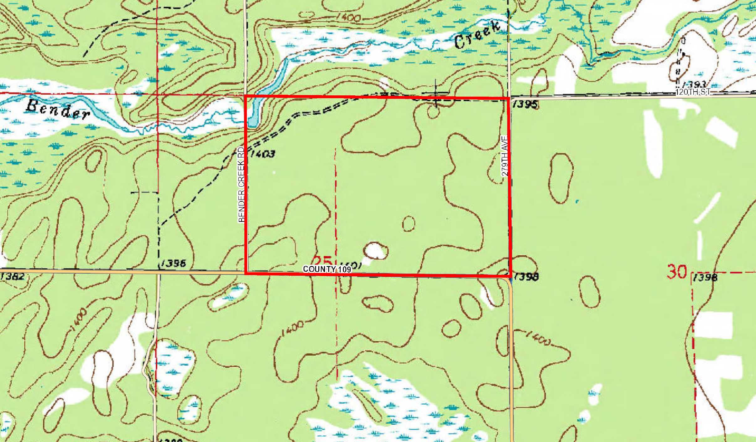
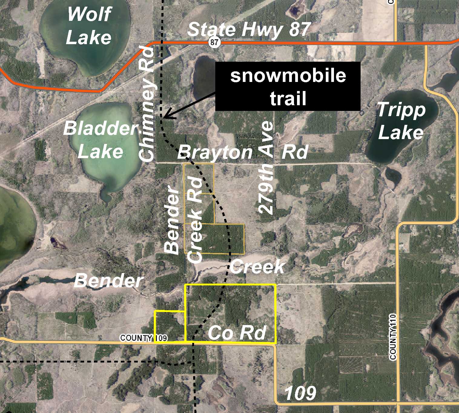
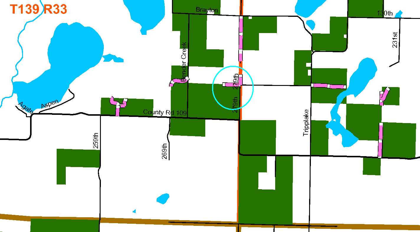
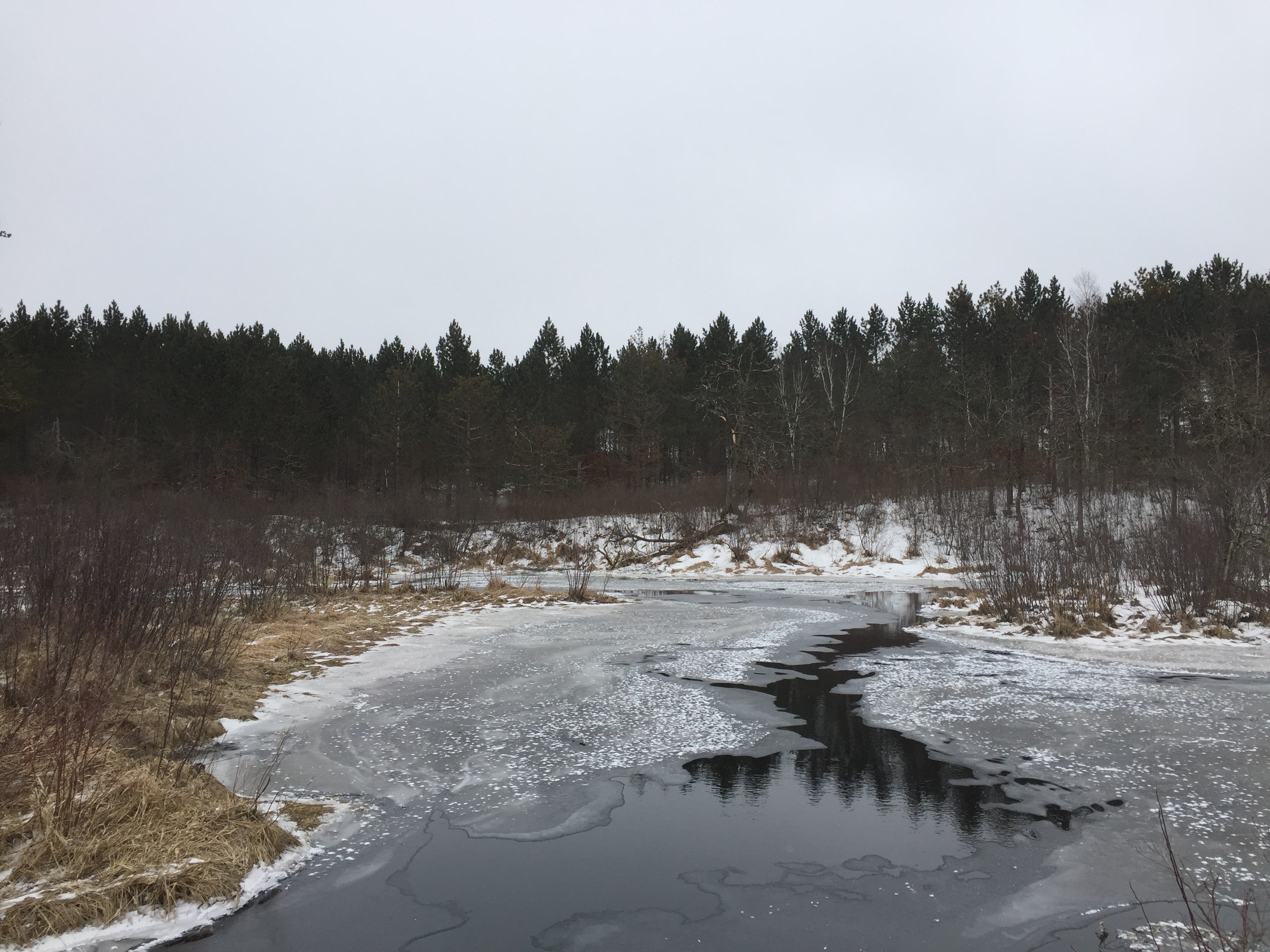
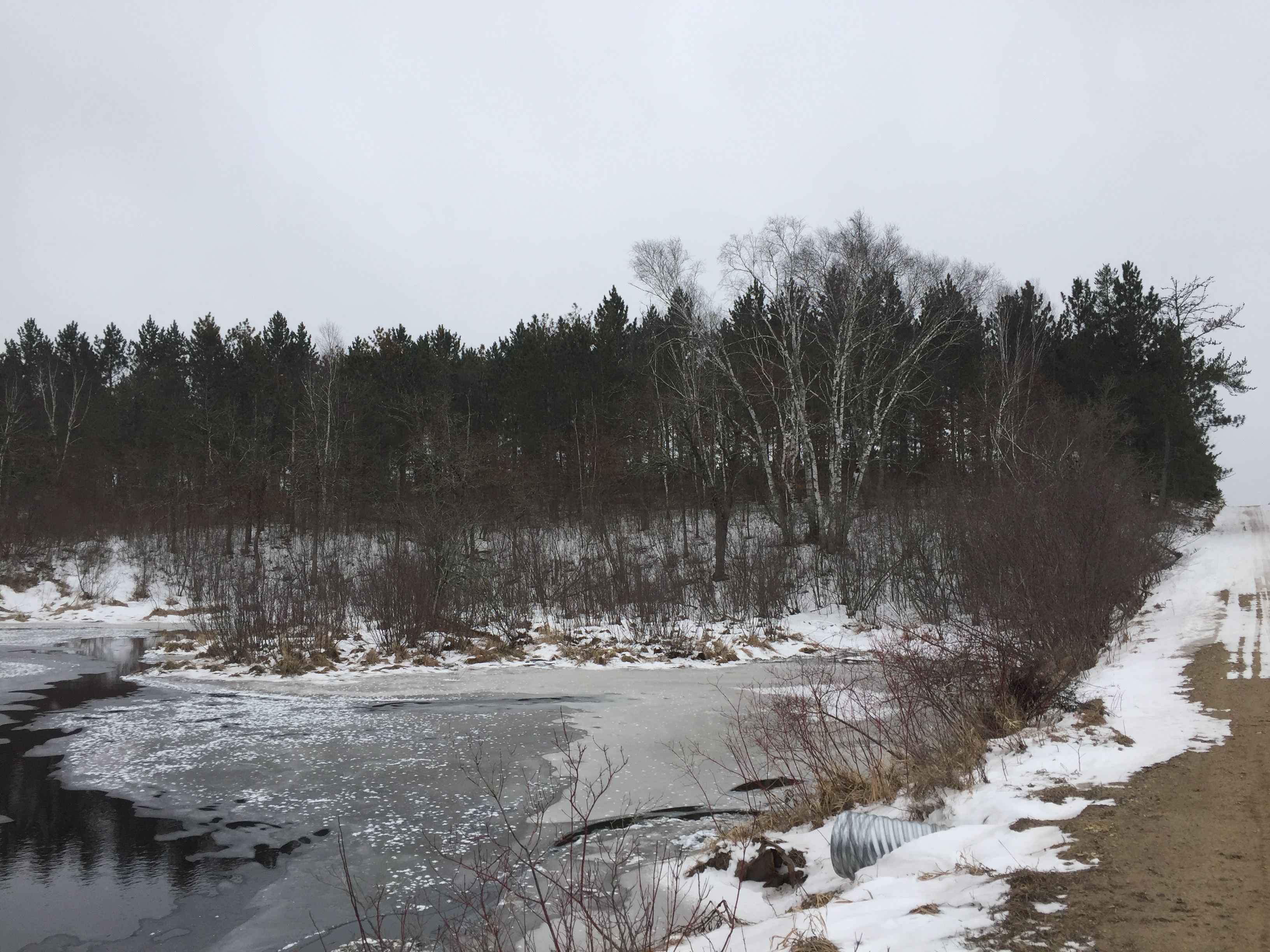
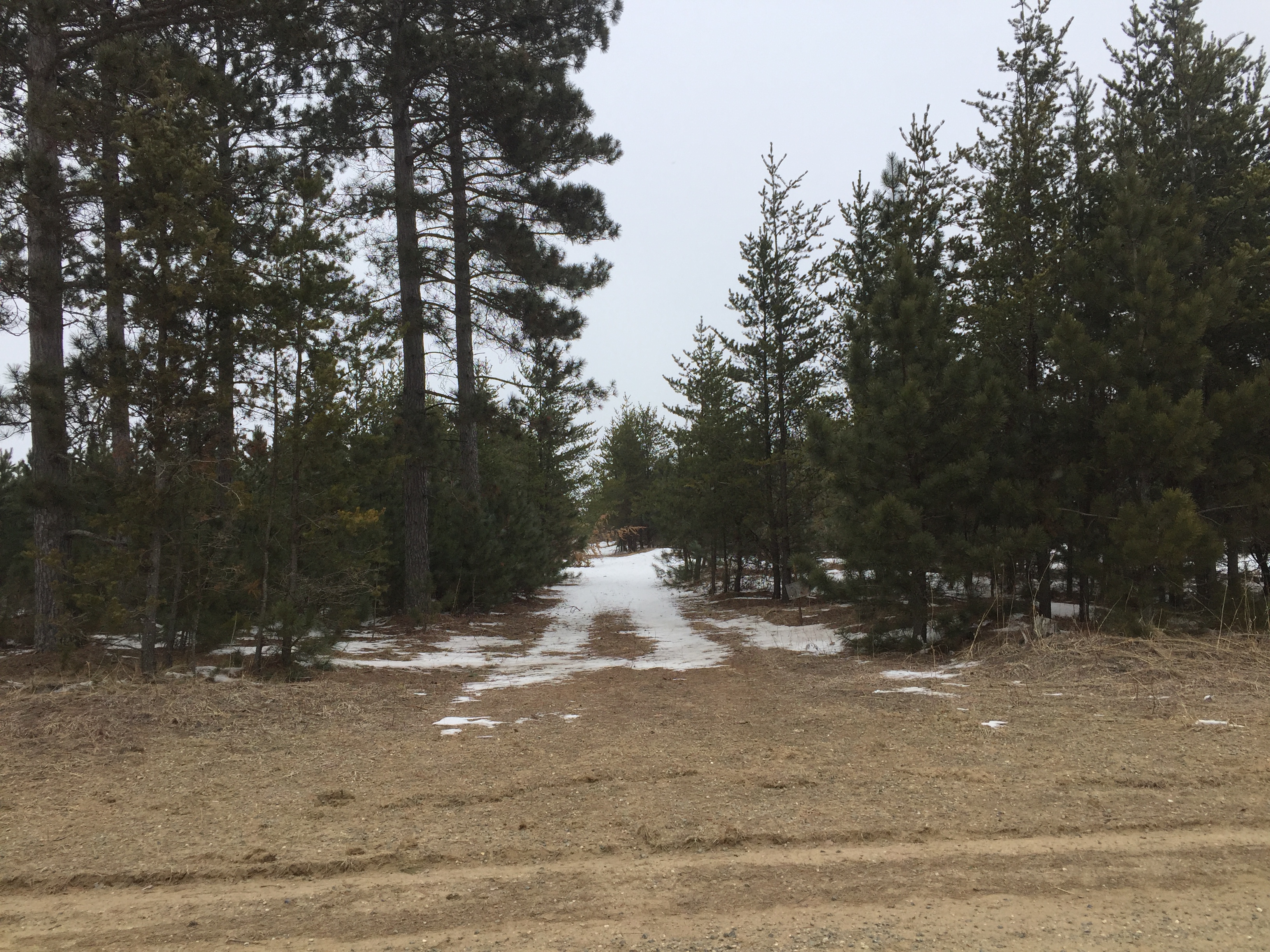
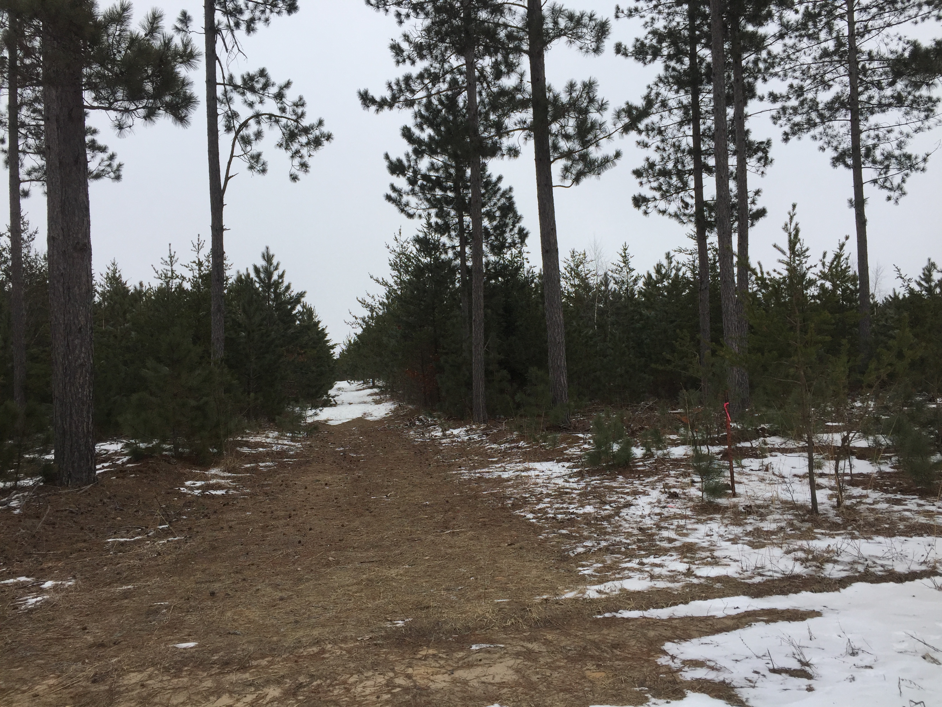
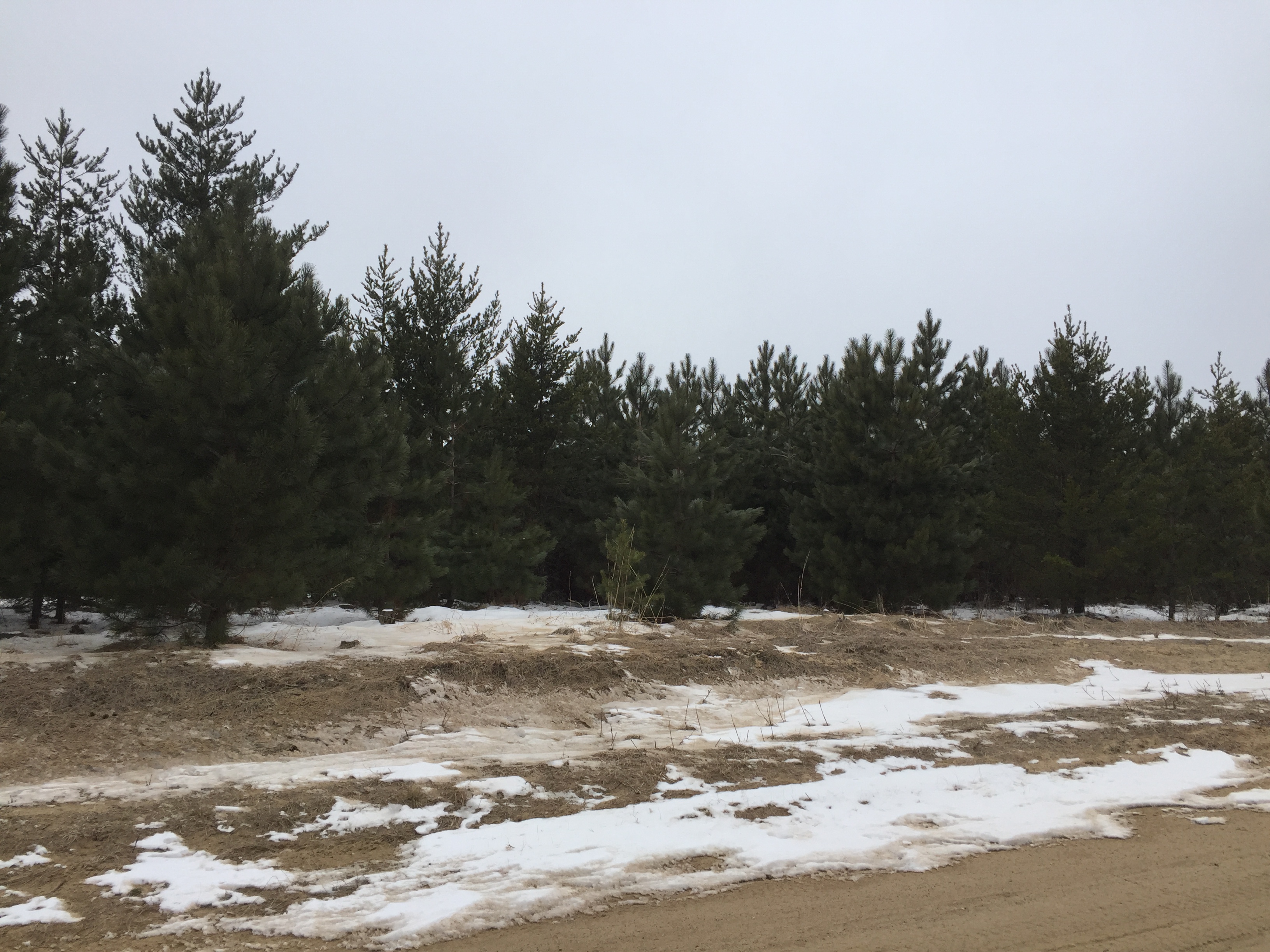
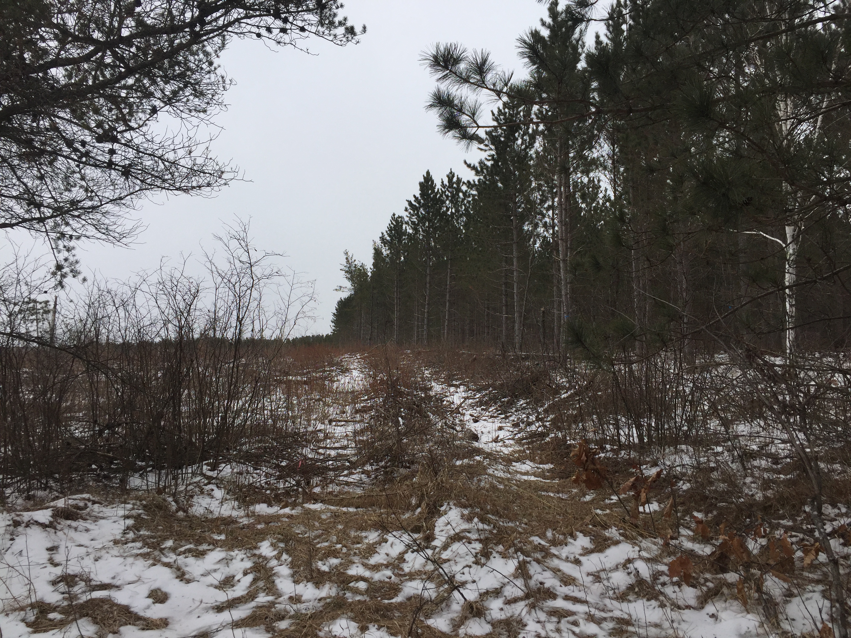
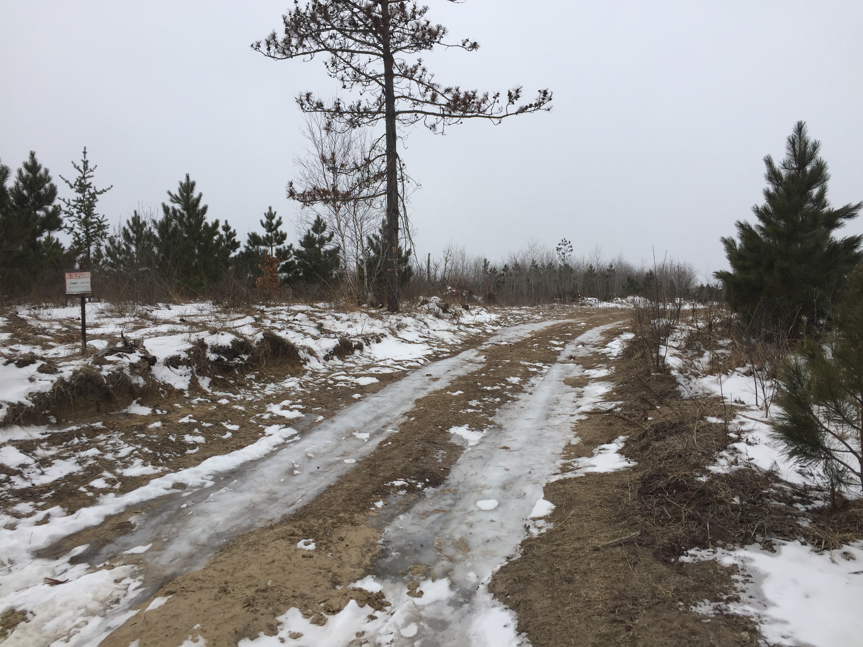
Large Potlatch acreage on Bender Creek and near the Crow Wing Chain WMA south of Nevis. Level upland slopes toward approx 580 ft of beautiful Bender Creek frontage in the far northwest corner. County road along the south side, township roads along the east and west sides, prescriptive easement over part of north boundary, trails throughout to access interior portions of the land, and a snowmobile trail crossing through the westerly portion for winter recreation. Hundreds of acres of public land adjoin the east and south sides, and there has been emphasis on enhancing waterfowl nesting and food production on the WMA 1/4 mile away. This would be your private legacy hunting land in prime hunting country!
Main Property Info
Property ID
062500100 & 062500200 & 062500300 & 062500400 & 062500500 & 062500800
062500100 & 062500200 & 062500300 & 062500400 & 062500500 & 062500800
MLS Number
4819002
4819002
Status
Sold
Sold
List Price
$329,900
$329,900
Selling Price
$290,000
$290,000
Acres
240
240
Zoning
Far NW corner (along creek) is within Shoreland zone of Tributary River; remainder not zoned
Far NW corner (along creek) is within Shoreland zone of Tributary River; remainder not zoned
City
Menahga
Menahga
Township
Crow Wing Lake Twp
Crow Wing Lake Twp
State
MN
MN
Zip Code
56464
56464
County
Hubbard
Hubbard
Legal Description
NE1/4 & E1/2NW1/4, 25-139-33. Subject to Co Rd 109; Bender Creek Rd; 279th Ave; prescriptive easement; easement to be retained over north 33 ft of NENE and north 33 ft of east 33 ft of NWNE; and any other easements, restrictions, and reservations of record.
NE1/4 & E1/2NW1/4, 25-139-33. Subject to Co Rd 109; Bender Creek Rd; 279th Ave; prescriptive easement; easement to be retained over north 33 ft of NENE and north 33 ft of east 33 ft of NWNE; and any other easements, restrictions, and reservations of record.
Property Location
Directions
From State Hwy 64 & State Hwy 87 south of Akeley, west on State Hwy 87 for 4 1/10 miles. Left on Chimney Rd 1 mile. Curve left onto Brayton Rd 1/4 mile. Right on Bender Creek Rd 1 mile to NW corner of the property on the left. OR From the intersection of State Hwy 64 and Co Rd 109 south of Akeley, west and north on Co Rd 109 for 3 1/2 miles to SE corner of the property at the intersection of Co Rd 109 and 279th Ave.
From State Hwy 64 & State Hwy 87 south of Akeley, west on State Hwy 87 for 4 1/10 miles. Left on Chimney Rd 1 mile. Curve left onto Brayton Rd 1/4 mile. Right on Bender Creek Rd 1 mile to NW corner of the property on the left. OR From the intersection of State Hwy 64 and Co Rd 109 south of Akeley, west and north on Co Rd 109 for 3 1/2 miles to SE corner of the property at the intersection of Co Rd 109 and 279th Ave.
Access
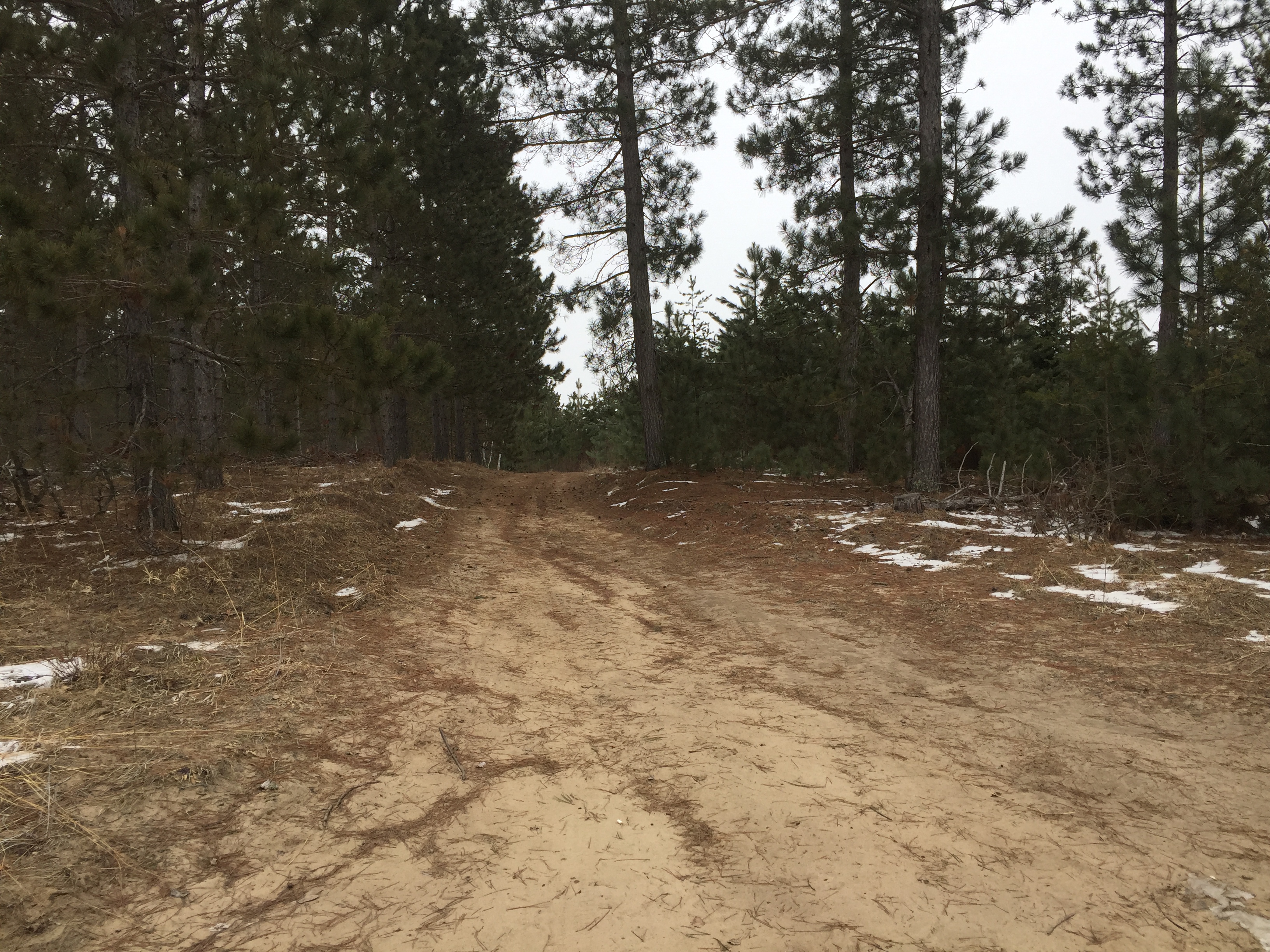
Gravel Co Rd 109 provides access along the south side; Bender Creek Rd, a township road, provides access along the west side; 279th Ave, a township road, provides access along the east side; and trails throughout give access to interior portions of the acreage.
Gravel Co Rd 109 provides access along the south side; Bender Creek Rd, a township road, provides access along the west side; 279th Ave, a township road, provides access along the east side; and trails throughout give access to interior portions of the acreage.
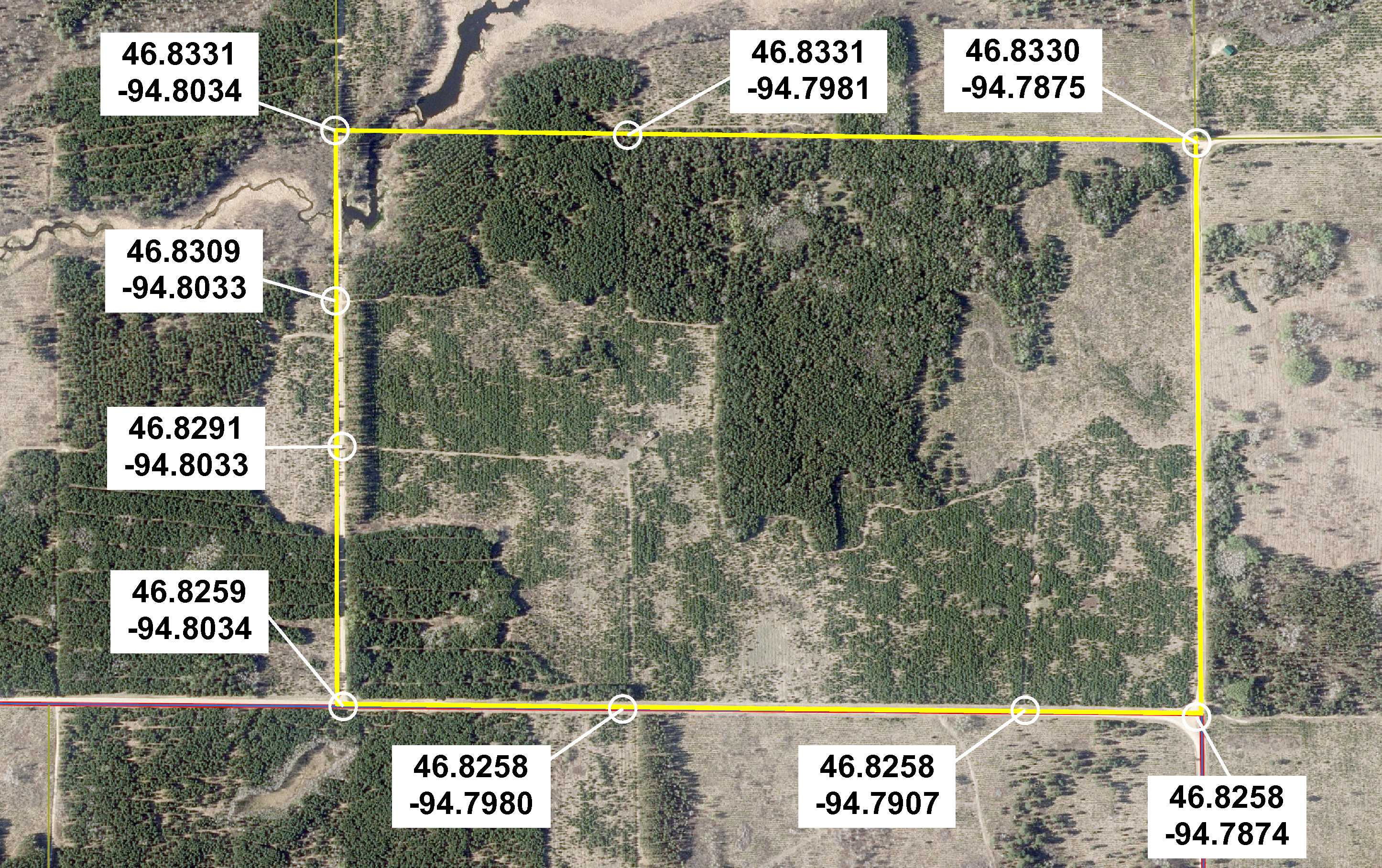
GPS Coordinates
See map for GPS coordinates to approximate corners and points based on county mapping.
See map for GPS coordinates to approximate corners and points based on county mapping.
Address
County Road 109 & Bender Creek Road & 279th Avenue
County Road 109 & Bender Creek Road & 279th Avenue
School District
Nevis - 308
Nevis - 308
Property Details
Dimensions (approx)
3960 x 2640 x 3960 x 2640
3960 x 2640 x 3960 x 2640
Utilities
Power Company
Itasca-Mantrap Co-op (1-888-713-3377)
Itasca-Mantrap Co-op (1-888-713-3377)
Taxes & Fees
Tax Amount
$2,548
$2,548
Tax With Assessments
$2,548
$2,548
Tax Year
2017
2017
Other Details
Section Number
25
25
Township Number
139
139
Range Number
33
33
Estimated Upland %
95
95
Estimated Wetland %
5
5
Additional Comments
Timber Comments
This property has been managed according to Forest Stewardship Council (FSC) standards. Nice red pine on the east, south, and west sides; northcentral part has been harvested/cut over; see Timber Maps in Supplements. If timber value is important to you, seek the advice of a competent forester to determine species, volumes and values.
This property has been managed according to Forest Stewardship Council (FSC) standards. Nice red pine on the east, south, and west sides; northcentral part has been harvested/cut over; see Timber Maps in Supplements. If timber value is important to you, seek the advice of a competent forester to determine species, volumes and values.
Hunting Comments
This property adjoins public land on the east and south sides and is in MN Firearms Deer Zone 246. There has been emphasis on enhancing waterfowl nesting and food production on the Crow Wing Chain WMA 1/4 mile to the west; hunting options include deer, bear, small game, forest game birds, and waterfowl.
This property adjoins public land on the east and south sides and is in MN Firearms Deer Zone 246. There has been emphasis on enhancing waterfowl nesting and food production on the Crow Wing Chain WMA 1/4 mile to the west; hunting options include deer, bear, small game, forest game birds, and waterfowl.
Disclosures
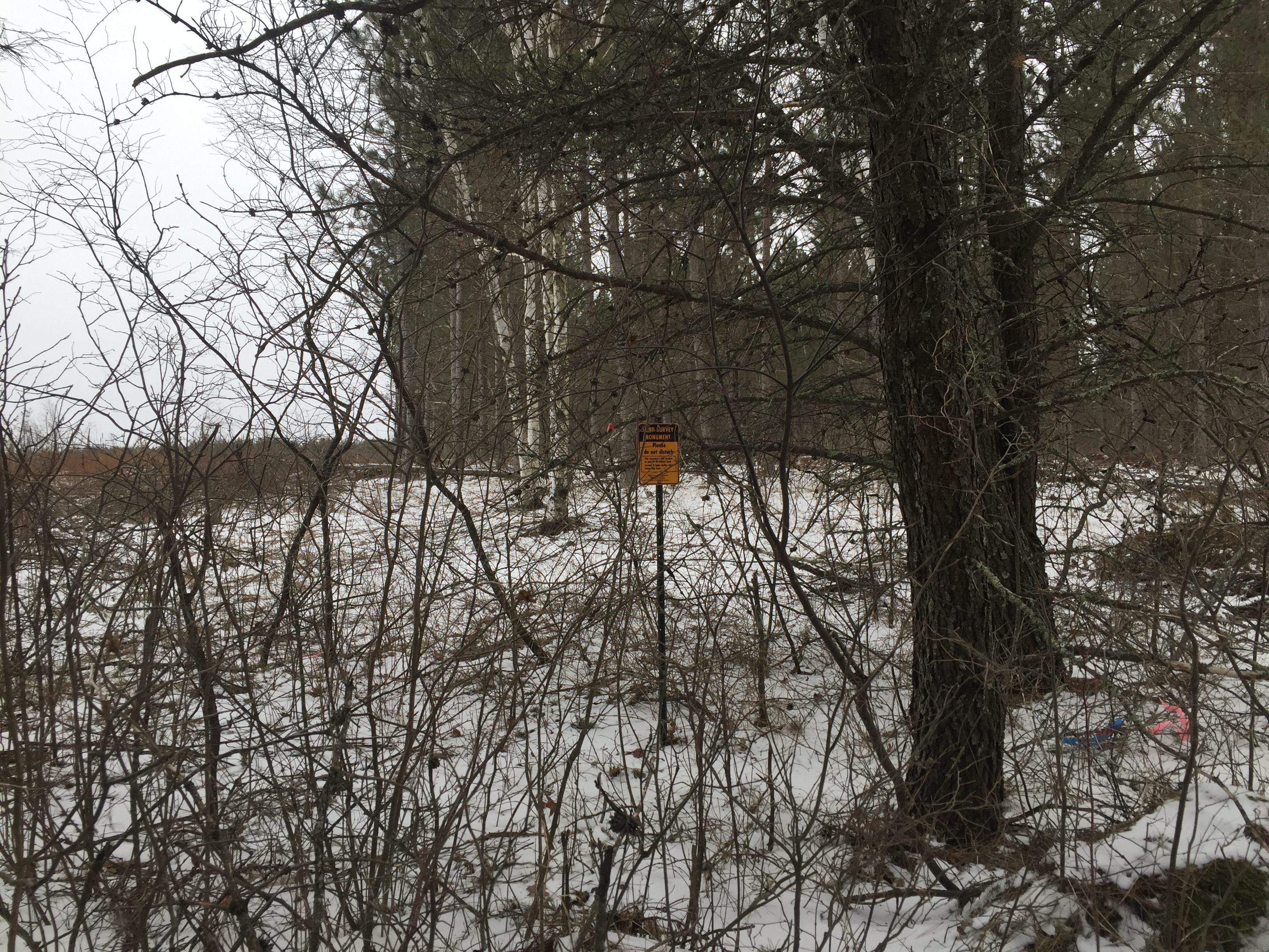
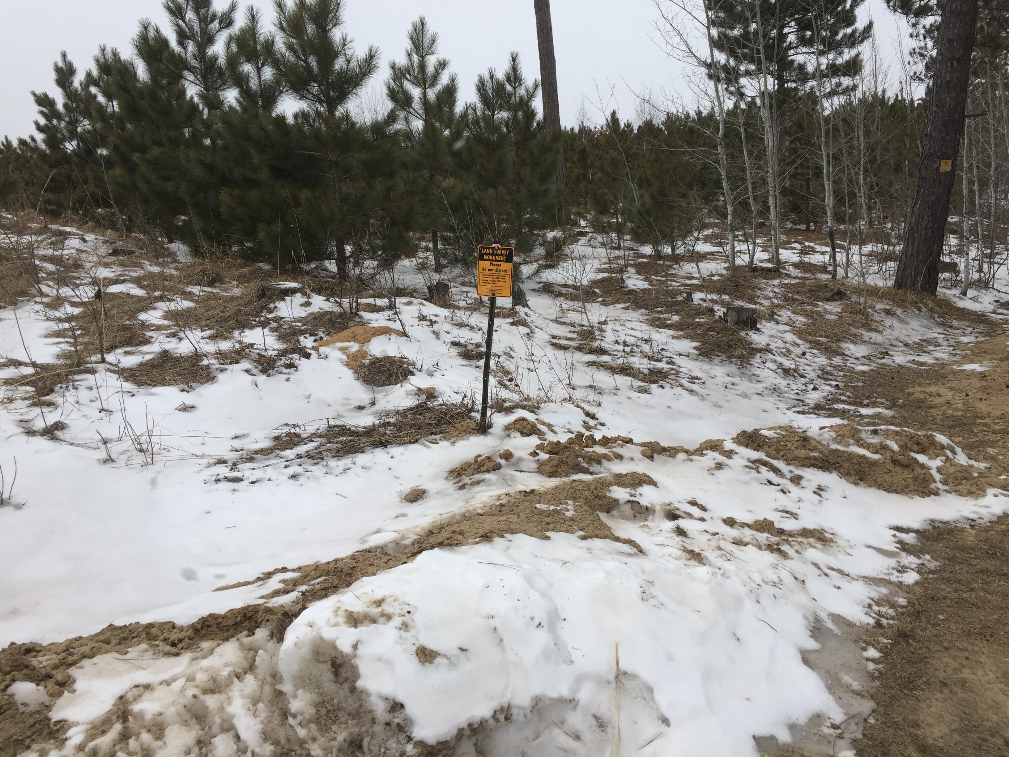
Not surveyed; acreage and dimensions approximate based on county data and mapping; county disclaimers included by reference. Photos/maps for convenience only and not guaranteed. Aerial map is not representative of current tree cover; see Timber Maps in Supplements and physically inspect the property prior to purchase. Any deer stands on the land are not property of seller and are not included in sale. Use seller-approved PA and addendum; closing dates the 2nd Wednesday each month.
Not surveyed; acreage and dimensions approximate based on county data and mapping; county disclaimers included by reference. Photos/maps for convenience only and not guaranteed. Aerial map is not representative of current tree cover; see Timber Maps in Supplements and physically inspect the property prior to purchase. Any deer stands on the land are not property of seller and are not included in sale. Use seller-approved PA and addendum; closing dates the 2nd Wednesday each month.


