
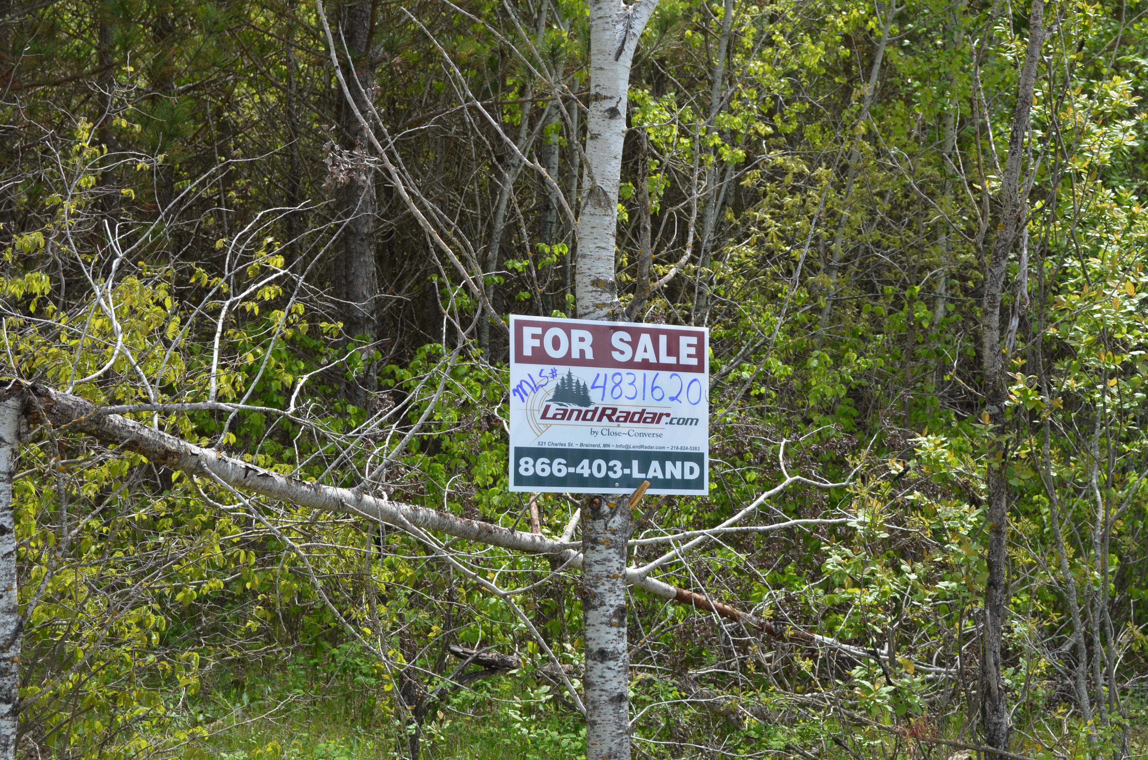


MLS Number : 4831620
Sold $32,500 - Hunting & Recreation
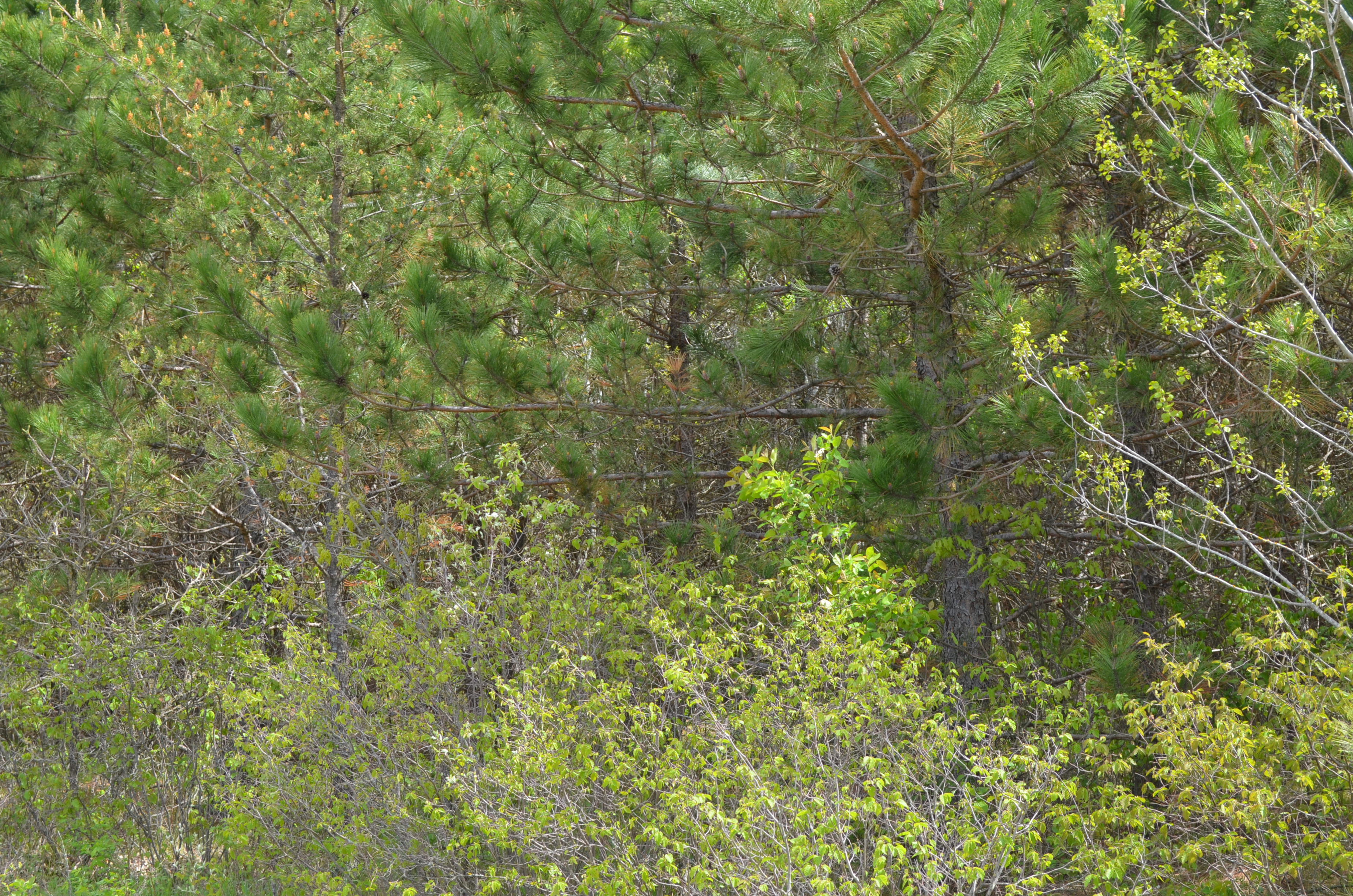
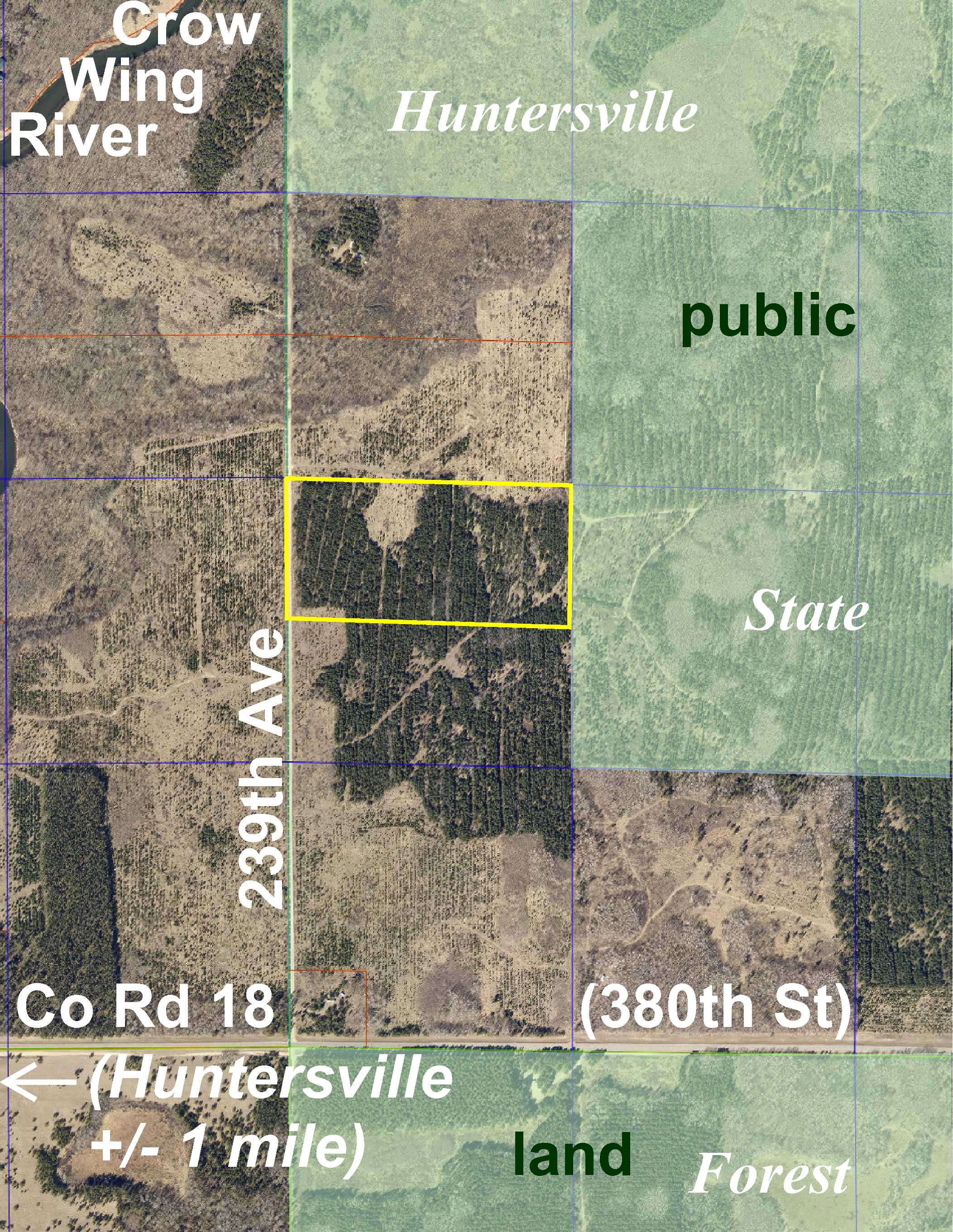
Affordably-priced Potlatch land by Huntersville and the Crow Wing River. Level upland wooded with red pine. Gravel township road along the west side. Hundreds of acres of public Huntersville State Forest land adjoin the east side. Huntersville Trail (a DNR OHM [motorcycle] trail) just off the northeast corner is part of a 59-mile system through the state forest. Public access to the Crow Wing River for fishing, boating, and tubing is just over 1 mile away in Huntersville. With utilities nearby, this could be a great location for a rural home or hunting cabin.
Main Property Info
Property ID
Pt 040093010
Pt 040093010
MLS Number
4831620
4831620
Status
Sold
Sold
List Price
$36,900
$36,900
Selling Price
$32,500
$32,500
Acres
20
20
Zoning
A-2 Mixed Agriculture
A-2 Mixed Agriculture
City
Menahga
Menahga
Township
Huntersville Twp
Huntersville Twp
State
MN
MN
Zip Code
56464
56464
County
Wadena
Wadena
Legal Description
N1/2NWSW, 9-138-33. Subject to 239th Ave and any easements, restrictions, or reservations of record.
N1/2NWSW, 9-138-33. Subject to 239th Ave and any easements, restrictions, or reservations of record.
Property Location
Directions
From the intersection of Co Rd 18 (380th St) and Co Rd 25 (229th Ave) in Huntersville (approx 11 miles east of Menahga), southeast on Co Rd 18 (380th St) 1 1/10 mile. Left on 239th Ave 4/10 mile to trail on right leading northeasterly through the property (approx 3/10 mile past address #38016).
From the intersection of Co Rd 18 (380th St) and Co Rd 25 (229th Ave) in Huntersville (approx 11 miles east of Menahga), southeast on Co Rd 18 (380th St) 1 1/10 mile. Left on 239th Ave 4/10 mile to trail on right leading northeasterly through the property (approx 3/10 mile past address #38016).
Access
Gravel 239th Ave provides access along the west side of this property.
Gravel 239th Ave provides access along the west side of this property.
GPS Coordinates
Coordinates to approximate corners/points based on county mapping: SW corner along 239th Ave = 46.7814, -94.8720; NW corner along 239th Ave = 46.7833, -94.8720; NE corner = 46.7832, -94.8667; SE corner = 46.7814, -94.8667.
Coordinates to approximate corners/points based on county mapping: SW corner along 239th Ave = 46.7814, -94.8720; NW corner along 239th Ave = 46.7833, -94.8720; NE corner = 46.7832, -94.8667; SE corner = 46.7814, -94.8667.
Address
239th Ave
239th Ave
School District
Menahga - 821
Menahga - 821
Property Details
Dimensions (approx)
660 x 1320 x 660 x 1320
660 x 1320 x 660 x 1320
Utilities
Power Company
Todd-Wadena Electric (1-800-320-8932)
Todd-Wadena Electric (1-800-320-8932)
Taxes & Fees
Tax Amount
$252
$252
Assessment Amount
0
0
Tax With Assessments
$252
$252
Tax Year
2017
2017
Other Details
Section Number
9
9
Township Number
138
138
Range Number
33
33
Estimated Upland %
99
99
Estimated Wetland %
1
1
Additional Comments
Timber Comments
This property has been managed according to Forest Stewardship Council (FSC) standards and is wooded with red pine. If timber value is important to you, seek the advice of a competent forester to determine species, volumes and values.
This property has been managed according to Forest Stewardship Council (FSC) standards and is wooded with red pine. If timber value is important to you, seek the advice of a competent forester to determine species, volumes and values.
Hunting Comments
This property adjoins public land in MN Firearms Deer Zone 246.
This property adjoins public land in MN Firearms Deer Zone 246.
Disclosures
Parcel split; acreage, dimensions, and taxes estimated based on county data and mapping; county disclaimers included by reference; subject to split approval if necessary. Not surveyed. Photos/maps for convenience only and not guaranteed; physically inspect prior to purchase. Any deer stands on the land are not property of seller and are not included in sale. Use seller-approved PA and addendum; closing dates the 2nd Wednesday each month.
Parcel split; acreage, dimensions, and taxes estimated based on county data and mapping; county disclaimers included by reference; subject to split approval if necessary. Not surveyed. Photos/maps for convenience only and not guaranteed; physically inspect prior to purchase. Any deer stands on the land are not property of seller and are not included in sale. Use seller-approved PA and addendum; closing dates the 2nd Wednesday each month.


